


7,9 km | 8,6 km-effort
Varces-Allières-et-Risset : découvrez les meilleures randonnées : 30 marche, 9 marche nordique et 4 course à pied. Tous ces circuits, parcours, itinéraires et activités en plein air sont disponibles dans nos applications SityTrail pour smartphones et tablettes.
Marche


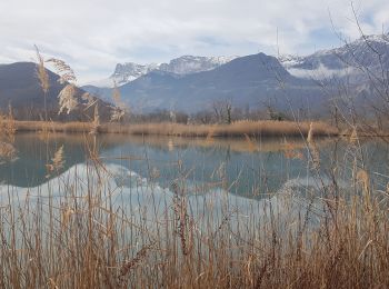
• De nouveaux panneaux et aménagements facilitent l'accès aux étangs. En particulier, l'étang Barbier, (le plus au sud)...
Marche
• De nouveaux panneaux et aménagements facilitent l'accès aux étangs. En particulier, l'étang Barbier, (le plus au sud)...
Marche nordique
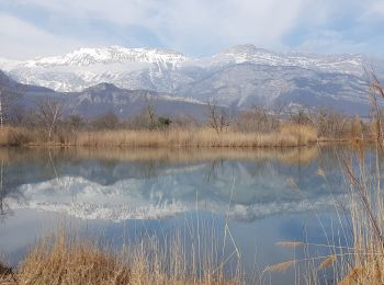
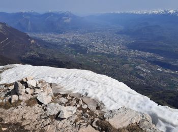
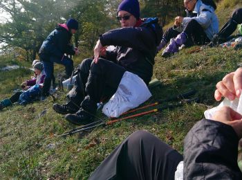
• Un bel endroit propice à la Marche Nordique, calme, et plat ! Très belles vues sur la chaîne du Vercors fraîchement e...
Marche nordique
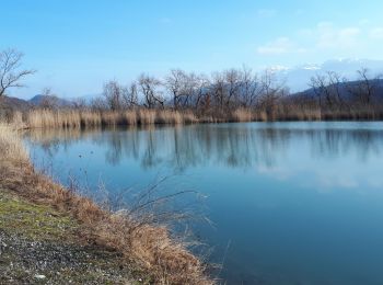
• Attention cela peut être paumatoire... Passer à côté des 3 étangs vaut le détour. Quelques portions courtes avec de g...
Marche
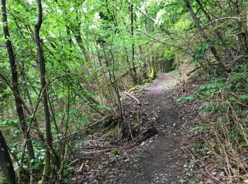
• Bons sentiers, secs, malgré des pluies récentes abondantes. Il doit y faire chaud l'été ! Bon accès au balcon est, co...
Marche
• sens horaire

Marche
• au parking en face de la caserne
Marche
Marche
Marche
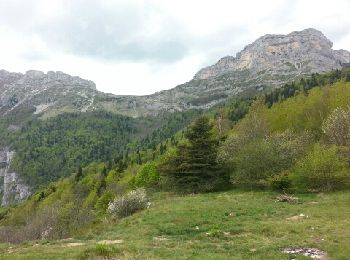
• Boucle pour le Pic St-Michel à partir du Plateau St-Ange (Pré du Four). Montée par le Sentier du Pas de l'Ane pour ar...
Marche
Course à pied
• Boucle au départ du château. Montée au dessus du château d’eau et belle vue en hiver sans les feuilles
Marche
• Xxx

Marche
• Nivolon - Grand Rochefort - Claix
Marche
• Tonique !
Marche
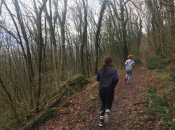
• Promenade majoritairement en sous bois. possibilité de faire un aller retour jusqu"à la cascade de la Pissarde.
Marche
• Tracé à l'écran sur carte SitytrailTopoWorld. La trace existe. Conforme à VisuGpx, ou AltRando.
Marche
• Eviter de le faire un dimanche... Elle est courte mais raide.
Marche
Marche
• Vercors
20 randonnées affichées sur 41
Application GPS de randonnée GRATUITE
 SityTrail
IGN / Instituts géographiques
SityTrail World
Le monde est à vous