


5,6 km | 6,5 km-effort
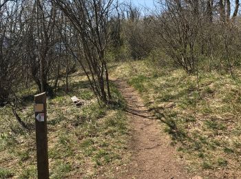
La Tronche : découvrez les meilleures randonnées : 2 a pied, 12 marche, 1 marche nordique et 2 course à pied. Tous ces circuits, parcours, itinéraires et activités en plein air sont disponibles dans nos applications SityTrail pour smartphones et tablettes.

A pied


• Randonnée créée par Ville de Meylan.
Marche
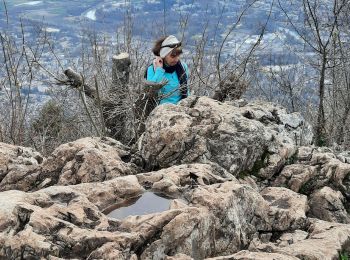
• Face sud
Marche

Marche
• Boucle à faire pour un plan B, mais très fréquentée par les joggeurs le we. Chemin un peu trop raide sur le tronçon ...

Course à pied
•
Marche
Marche
Marche
Marche
Marche
Marche
Marche
Marche

A pied
Marche nordique
Course à pied
Marche
17 randonnées affichées sur 17
Application GPS de randonnée GRATUITE
 SityTrail
IGN / Instituts géographiques
SityTrail World
Le monde est à vous