


9,9 km | 18,2 km-effort
Villard-Reymond : découvrez les meilleures randonnées : 11 marche et 1 trail. Tous ces circuits, parcours, itinéraires et activités en plein air sont disponibles dans nos applications SityTrail pour smartphones et tablettes.
Marche


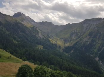
• Belle boucle avec de superbes paysages et une vue sur 360°: L'Oisans, Les Grandes Rousses, Belledonne, Le Taillefer. ...
Marche
• CSC MALRAUX 2018-09-18
Marche
Marche

Marche
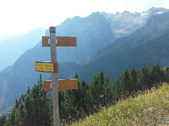
• Vue topissime !
Marche
• Projet tracé à l'écran. Montée par la combe du Grand Renaud. Arret probable à 2200 m.
Marche
• Magnifique balade à faire bien chaussé. Première partie avec gros dénivelé mais agréable en sous bois, puis grand pas...
Marche
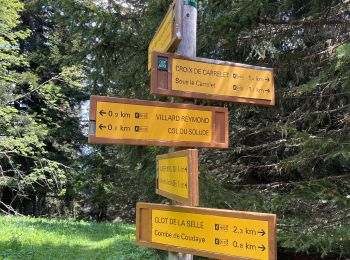
• Au départ de Villard-Reymond

Trail
Marche
Marche
Marche
12 randonnées affichées sur 12
Application GPS de randonnée GRATUITE
 SityTrail
IGN / Instituts géographiques
SityTrail World
Le monde est à vous