


16,7 km | 26 km-effort
Malleval-en-Vercors : découvrez les meilleures randonnées : 1 a pied et 18 marche. Tous ces circuits, parcours, itinéraires et activités en plein air sont disponibles dans nos applications SityTrail pour smartphones et tablettes.

Marche


• balade en forêt par ces temps de canicule
Marche
• Du grand n'importe quoi..
A pied
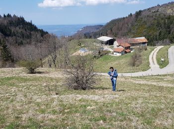
• De la Ferme de La Caille, rejoindre le Col de Neurre puis traverser les prés puis les bois sous le Bec (très difficil...
Marche
Marche
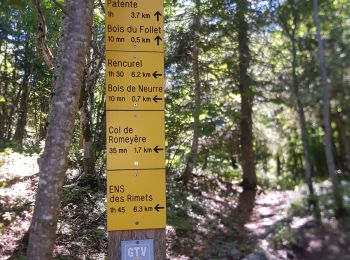
• boucle par le col du Neurre et le pas du Fau. Poursuite par grp Seglieres retour Malleval
Marche
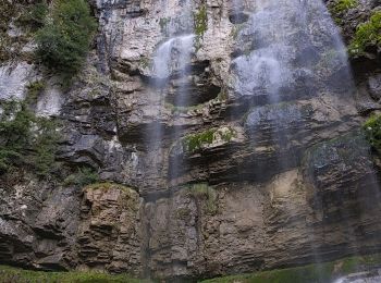
• Garez-vous sur la Place de l'Église. (D/A) Prendre la direction de la Cascade la Gerlette en laissant le cimetière à ...
Marche
Marche
• Ballade cool pour l'automne
Marche
• En allant à la Lunette, on a fait un peu de hors piste mais pour le plaisir de s'orienter. Pour la descente j'ai enco...
Marche
• tu peux voir la combe coquette à l'ouest du tracé, on pourrait peut-être essayer, si c'est vraiment coquet!...
Marche
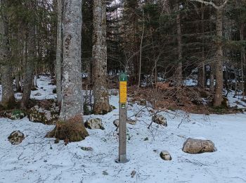
• raquettes
Marche
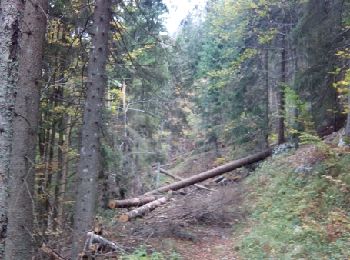
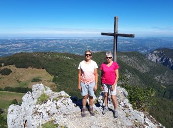
• Randonnée dans un paysage sauvage.Un passage en couloir équipé d'un câble.
Marche
Marche
Marche
Marche
Marche
Marche
Marche
19 randonnées affichées sur 19
Application GPS de randonnée GRATUITE
 SityTrail
IGN / Instituts géographiques
SityTrail World
Le monde est à vous