


10,1 km | 13 km-effort
La Valla-en-Gier : découvrez les meilleures randonnées : 2 a pied, 73 marche, 1 marche nordique, 5 course à pied et 1 trail. Tous ces circuits, parcours, itinéraires et activités en plein air sont disponibles dans nos applications SityTrail pour smartphones et tablettes.
Marche


• jp gene
Marche
• chari

Marche
• Passage au saut du Gier, monté difficile après la cascade
Marche
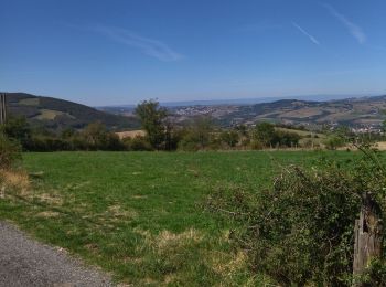
• C'est le Pilat!!!
Marche
Marche
Marche
Marche
Marche
Marche
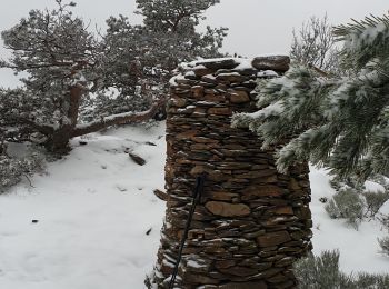
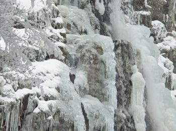
• Chemin caillouteux enneigé et glacé gelé. Arrivée magnifique
Marche

Marche
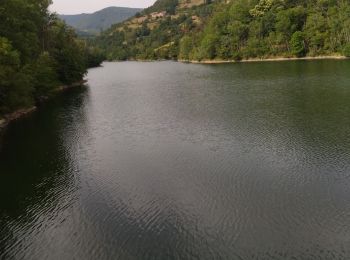
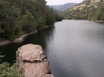
• Attention retout le long du lac comporte des pazssages cablés faciles à franchir mais qui peuvent bloquer certaine sp...
Marche
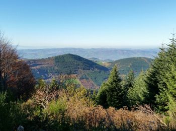
• Crêt de la Perdrix, saut du Gier

Trail
• gier
Marche
• Une partie de la rando est non praticable, voir l’autre plan
Marche
• Rando Passion N° 59
Marche
• Le Chirat. La roche de la Rivoire (point de vue). Zone départ des parapentes de Salvaris.Le Chirat.
Marche
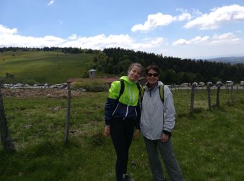
• Balade de confinement.

A pied
• Très beau paysage, en passant par le barrage du Piney pour arriver à la Croix du Planil, belle ascension !! ensuite p...
A pied
• Tour des barrages très agréable, juste un passage délicat avec des cordes et un rocher a escalader, possibilité de l'...
20 randonnées affichées sur 82
Application GPS de randonnée GRATUITE
 SityTrail
IGN / Instituts géographiques
SityTrail World
Le monde est à vous