


17,6 km | 29 km-effort
Vals-les-Bains : découvrez les meilleures randonnées : 2 a pied et 43 marche. Tous ces circuits, parcours, itinéraires et activités en plein air sont disponibles dans nos applications SityTrail pour smartphones et tablettes.
Marche


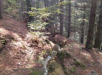
• attention au niveau de la rivière après le pont de ht segur zel
Marche
• gêne un peu de ronce vers Sandron.mais rando agreable à refaire j_1 confi 3

Marche
Marche
Marche
• Rando du 14/04/2018 Rando du 24/01/2022
Marche
• Rando du 5/05/2016
Marche
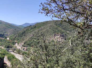
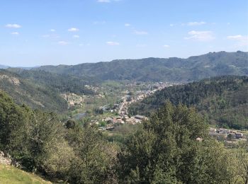
• Pas de difficultés majeures. Pas mal en été car beaucoup de sentiers à couvert. Belle vue de la table d'orientation.

A pied
Marche
• chemin très aléatoire au-dessus du col de sétias.
Marche
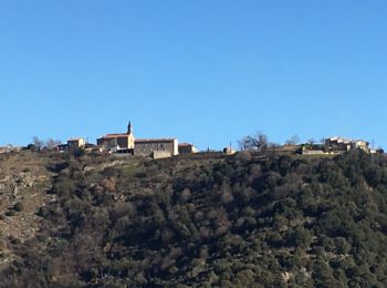
• Vals les bains
Marche
Marche
• Rando 08/03/2021
Marche
• Rando du 8/03/21
Marche
• Rando 04/03/2021
A pied
• Au départ du col de la Loube près des Fabre, et en passant par Roumégouse. parking au col.
A pied
• Au départ du col de la Loube près des Fabre, et en passant par Roumégouse. parking au col.
Marche
• Randodu 16/04/2018
Marche
• Rando du 05/05/2016
Marche
Marche
20 randonnées affichées sur 44
Application GPS de randonnée GRATUITE
 SityTrail
IGN / Instituts géographiques
SityTrail World
Le monde est à vous