Saint-Agrève, Ardèche, A pied : Les meilleures randonnées, itinéraires, parcours, balades et promenades

4 commentaires

Saint-Agrève : découvrez les meilleures randonnées : 21 marche. Tous ces circuits, parcours, itinéraires et activités en plein air sont disponibles dans nos applications SityTrail pour smartphones et tablettes.


Les meilleurs parcours (21)
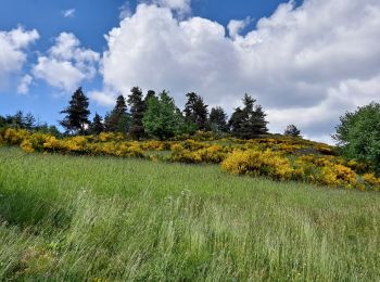
Randonnée Marche Saint-Agrève - La chaux par les Sagnoles - Photo
Marche 6.38
Km

Marche

Moyen
(1)
Saint-Agrève, Auvergne-Rhône-Alpes, Ardèche, France
6,4 km | 8,9 km-effort
2h 17min
191 m
196 m
Oui
mallovon

• retour par les Salins

Randonnée Marche Saint-Agrève - Le serre par le col de brun - Photo
Marche 4.101
Km

Marche

Facile
Saint-Agrève, Auvergne-Rhône-Alpes, Ardèche, France
4,1 km | 5,1 km-effort
1h 20min
77 m
75 m
Oui
mallovon

• Boucle presque à plat, avec vue.

Randonnée Marche Saint-Agrève - Château de Flossac - Saint Agrève - Photo
Marche 14.527
Km

Marche

Moyen
Saint-Agrève, Auvergne-Rhône-Alpes, Ardèche, France
14,5 km | 19,1 km-effort
4h 0min
347 m
342 m
Oui
tracegps

• Belle rando à l'ombre en majeure partie. Du parking, descendre au "quartier du pont" et rejoindre le GR 420. Passer à...
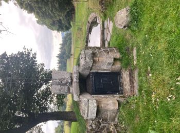
Randonnée Marche Saint-Agrève - Saint-Agrève - Photo
Marche 15.347
Km

Marche

Moyen
Saint-Agrève, Auvergne-Rhône-Alpes, Ardèche, France
15,3 km | 19,2 km-effort
4h 4min
292 m
290 m
Oui
jpblimond

Randonnée Marche Saint-Agrève - La Galoche 2013 - Saint Agrève - Photo
Marche 19.487
Km

Marche

Moyen
Saint-Agrève, Auvergne-Rhône-Alpes, Ardèche, France
19,5 km | 29 km-effort
5h 0min
684 m
683 m
Oui
tracegps

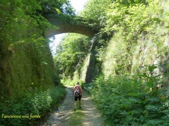
• Retour par l'ancienne voie ferrée empruntée par La Galoche, viaducs, tunnels. Cette randonnée était organisée par le ...
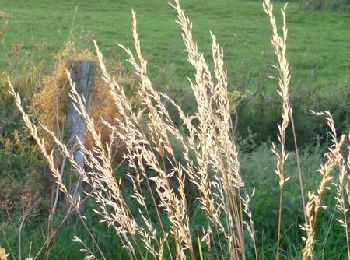
Randonnée Marche Saint-Agrève - Chemin de Saint Régis: Saint Agrève - Lalouvesc - Photo
Marche 29.061
Km

Marche

Difficile
Saint-Agrève, Auvergne-Rhône-Alpes, Ardèche, France
29 km | 43 km-effort
9h 0min
1026 m
1003 m
Non
tracegps

• Encore une grande étape sans dénivelée excessive. Entre Saint-Agrève et Lalouvesc, le tracé est plus sinueux et plus ...
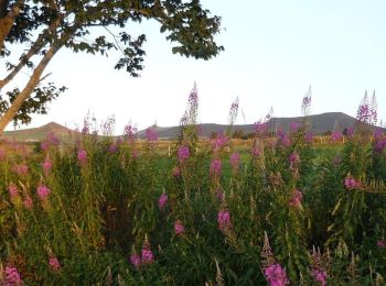
Randonnée Marche Saint-Agrève - Chemin de Saint Régis: Saint Front - Saint Agrève - Photo
Marche 32.014
Km

Marche

Difficile
Saint-Agrève, Auvergne-Rhône-Alpes, Ardèche, France
32 km | 42 km-effort
9h 0min
827 m
568 m
Non
tracegps

• Étape un peu longue, mais sans grande dénivelée. Le parcours est agréable et varié. Le soleil est aujourd’hui encore ...

Randonnée Marche Saint-Agrève - étape 4 - Photo
Marche 29.21
Km

Marche

Très difficile
Saint-Agrève, Auvergne-Rhône-Alpes, Ardèche, France
29 km | 41 km-effort
7h 45min
925 m
910 m
Non
Odile gino

Randonnée Marche Saint-Agrève - GR7 E04 StAgrève-FaySurLignon - Photo
Marche 17.339
Km

Marche

Facile
Saint-Agrève, Auvergne-Rhône-Alpes, Ardèche, France
17,3 km | 22 km-effort
4h 48min
401 m
288 m
Non
richard21220

• Central Hôtel : Le Bourg 43430 FAY SUR LIGNON Tél 04 71 59 50 76 Gîte d'Etape La Traverse : Le Bourg 43430 FAY SUR LI...

Randonnée Marche Saint-Agrève - Freyssenet - Jappeliaure - Photo
Marche 6.338
Km

Marche

Facile
Saint-Agrève, Auvergne-Rhône-Alpes, Ardèche, France
6,3 km | 7,9 km-effort
1h 42min
110 m
128 m
Non
mallovon

• A pied, par Fontanière et Triouleyre

Randonnée Marche Saint-Agrève - saint agrève corrigé - Photo
Marche 23.101
Km

Marche

Moyen
(1)
Saint-Agrève, Auvergne-Rhône-Alpes, Ardèche, France
23 km | 31 km-effort
6h 37min
622 m
623 m
Oui
mmeu1

• parcours très agréable

Randonnée Marche Saint-Agrève - saint Agreve côté rousse - Photo
Marche 13.105
Km

Marche

Moyen
Saint-Agrève, Auvergne-Rhône-Alpes, Ardèche, France
13,1 km | 18,1 km-effort
3h 10min
373 m
373 m
Oui
taguette

Randonnée Marche Saint-Agrève - Saint-Agrève / Lalouvesc - Photo
Marche 29.436
Km

Marche

Très difficile
Saint-Agrève, Auvergne-Rhône-Alpes, Ardèche, France
29 km | 42 km-effort
9h 33min
957 m
919 m
Non
aucamus

Randonnée Marche Saint-Agrève - Pistage 1n Nov 2022 - Photo
Marche 5.093
Km

Marche

Moyen
Saint-Agrève, Auvergne-Rhône-Alpes, Ardèche, France
5,1 km | 6,5 km-effort
6h 18min
108 m
108 m
Oui
lajuliane

Randonnée Marche Saint-Agrève - St Agrève à Fay-sur-Lignon - Photo
Marche 18.568
Km

Marche

Difficile
Saint-Agrève, Auvergne-Rhône-Alpes, Ardèche, France
18,6 km | 24 km-effort
5h 25min
427 m
299 m
Non
Vedett26

Randonnée Marche Saint-Agrève - St Agrève, La Rèche, Lac de Devesset, Chante Coucou  - Photo
Marche 14.067
Km

Marche

Facile
Saint-Agrève, Auvergne-Rhône-Alpes, Ardèche, France
14,1 km | 18,2 km-effort
5h 20min
314 m
313 m
Oui
pol7

Randonnée Marche Saint-Agrève - 90 Flossac Piche Les Chênes Les Bleuets Le Pont 90 - Photo
Marche 12.171
Km

Marche

Moyen
(1)
Saint-Agrève, Auvergne-Rhône-Alpes, Ardèche, France
12,2 km | 15,1 km-effort
2h 43min
218 m
236 m
Non
Eli Hend

Randonnée Marche Saint-Agrève - Piste Chien par Rilhac - Photo
Marche 7.601
Km

Marche

Moyen
(1)
Saint-Agrève, Auvergne-Rhône-Alpes, Ardèche, France
7,6 km | 9,8 km-effort
1h 0min
165 m
179 m
Non
lajuliane

Randonnée Marche Saint-Agrève - Ardèche  jour cinq - Photo
Marche 16.233
Km

Marche

Moyen
Saint-Agrève, Auvergne-Rhône-Alpes, Ardèche, France
16,2 km | 23 km-effort
3h 58min
483 m
483 m
Oui
ezola

Randonnée Marche Saint-Agrève - GR420 De St Agrève à Vernoux-en-Vivarais  Via le nord - Photo
Marche 112.007
Km

Marche

Très difficile
Saint-Agrève, Auvergne-Rhône-Alpes, Ardèche, France
112 km | 158 km-effort
35h 51min
3310 m
3801 m
Non
Mymassot

20 randonnées affichées sur 21

Application GPS de randonnée GRATUITE

Logo SityTrail SityTrail

IGN / Instituts géographiques

Télécharger SityTrail sur l'App Store Télécharger SityTrail sur Google Play

Logo SityTrail SityTrail World

Le monde est à vous

Télécharger SityTrail sur l'App Store Télécharger SityTrail sur Google Play Télécharger SityTrail sur Huawei AppGallery

Activités

Fermer
Mes abonnements