


13,8 km | 23 km-effort
Dieulefit : découvrez les meilleures randonnées : 2 a pied, 68 marche, 3 course à pied et 4 trail. Tous ces circuits, parcours, itinéraires et activités en plein air sont disponibles dans nos applications SityTrail pour smartphones et tablettes.
Marche


• zel 26.10.23
Marche
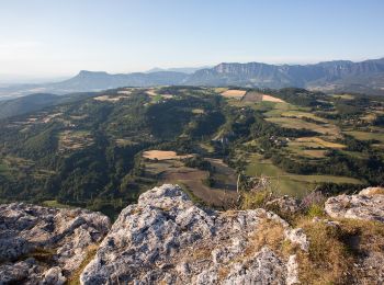
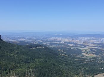
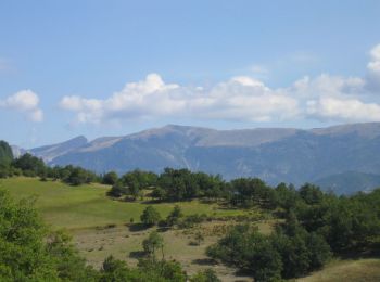
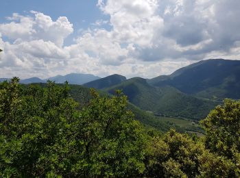
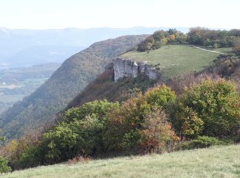
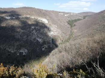
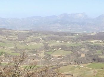
• Descente après les antennes délicate Panoramas superbes
Marche
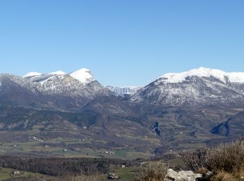
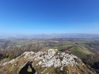
• Le sentier monte bien avec en plus des raidillons. La vue derrière les antennes est superbe (voir photos). La desce...
Marche
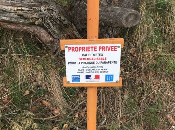
• Belle randonnée , attention de respecter les chemins privés, et les domaines de chasse, vous pouvez aussi prendre des...
Marche
Marche
Marche
Marche
• Descente après les antennes délicate Panoramas superbes
Marche
Marche
• marche en sous bois
Course à pied
• Lundi 5 mai 2014 par les Féroces

Marche
• Huitième étape : après une montée de 400m dans la forêt de St Maurice, la descente à partir du col du Pertuis (884m) ...

Marche
• « Sur les pas des Huguenots » consiste en la création d'un sentier international de grande randonnée suivant le tracé...
Marche
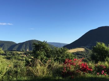
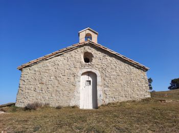
• Chapelle Saint-
Marche
Marche
• départ de Dieulefit, col gorge de l'Ane, mont Rachas et retour par le versant sud jolis panoramas à partir du col go...
Marche
Marche

Marche

Marche
20 randonnées affichées sur 77
Application GPS de randonnée GRATUITE
 SityTrail
IGN / Instituts géographiques
SityTrail World
Le monde est à vous