


13 km | 23 km-effort
Teyssières : découvrez les meilleures randonnées : 44 marche et 1 marche nordique. Tous ces circuits, parcours, itinéraires et activités en plein air sont disponibles dans nos applications SityTrail pour smartphones et tablettes.
Marche


Marche
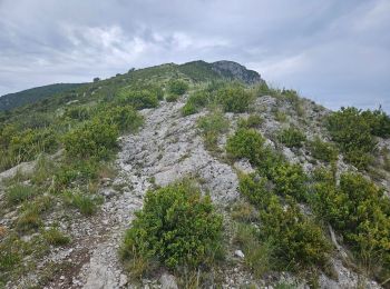
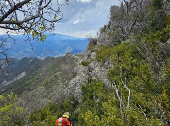
• Randonnée très technique par endroit.
Marche
Marche
Marche
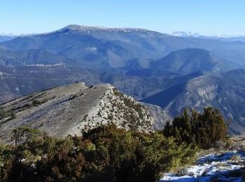
• Cinquième étape : après le col de Marot (771m) on descend la Combe Lescour pour arriver au hameau de la paillette (48...
Marche
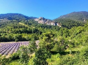
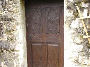
• Une balade dans le vieux Teyssières avant de faire une boucle par le col de Coucourdet à 1000M, partir dans le sens d...
Marche
Marche
Marche
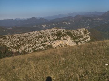
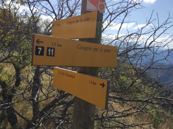
• la lance et le cougoir
Marche
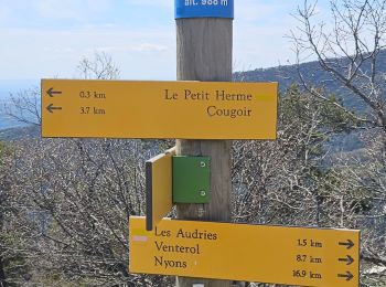
• cougoir
Marche
Marche
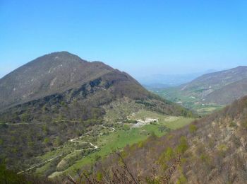
• montée au Cougoir par la face moins pentue
Marche
Marche
• depuis Teyssière

Marche
• azur 13 09 18 tps chaud
Marche
• C'est une rando casse-croûte entre la Montagne d'Autuche et Le Cougoir Plus de détails au gîte du Pré bossu.
Marche
Marche
• belle balade
Marche
• rando decouverte
Marche
• petite rando sympa
20 randonnées affichées sur 45
Application GPS de randonnée GRATUITE
 SityTrail
IGN / Instituts géographiques
SityTrail World
Le monde est à vous