


14,1 km | 24 km-effort
Die : découvrez les meilleures randonnées : 116 marche, 2 marche nordique, 2 course à pied et 2 trail. Tous ces circuits, parcours, itinéraires et activités en plein air sont disponibles dans nos applications SityTrail pour smartphones et tablettes.
Marche


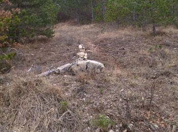
• 2 jumars corde 3 sangles pour acceder en ht de chateau ruine revoir itinéraire. après la crête prendre route forestie...

Marche
•
Marche
• Départ un peu raide ensuite facile
Marche
• .
Marche
• On se gare devant le cimetière et on se balade entre Drôme campagne et la ville. De belles choses à voir.
Marche
• A ne pas faire, très dangereux.
Marche
• montée très progressive,magnifique parcours en Crête ( rester vigilant) au Km 9.5 descente à travers bois pour rejoin...
Marche
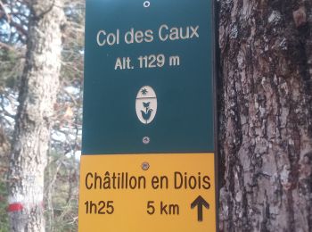
• Au Col de Caux prendre direction Chatillon en diois
Marche
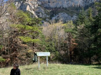
• Départ de l'Abbaye de Valcroissant à Die (651m)... Géolocalisation (Google Maps) : https://goo.gl/maps/t38pzYLnE1uLgq...
Marche
• départ de l'abbaye de Valcroissant, comptoir à moutons, on longe les falaises jusqu'au Pestel, superbe ATTENTION la d...
Marche
• Belle rando, sentiers agréables sous un soleil timide, grands massifs montagneux, vu sur les rochers de la Belle Just...
Marche
• Départ du parking de l'Abbaye de Valcroissant à Die... Géolocalisation (Google Maps) : https://goo.gl/maps/t38pzYLnE1...
Marche
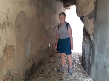
• En passant par les remparts
Marche
• Départ de l'abbaye de Valcroissant à Die (651 m)... Géolocalisation (Google Maps) : https://goo.gl/maps/t38pzYLnE1uLg...
Marche
• Départ de l'Abbaye de Valcroissant à Die (651m)... Géolocalisation (Google Maps) : https://goo.gl/maps/t38pzYLnE1uLgq...
Marche
• Départ de Ausson route départemental n° 244... Géolocalisation (Google Maps) : https://goo.gl/maps/2V1fYjbfgEytiEpr5 ...
Marche
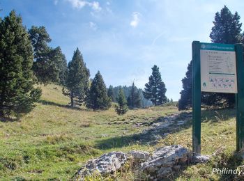
• « Sur les pas des Huguenots » consiste en la création d'un sentier international de grande randonnée suivant le tracé...

Marche
• « Sur les pas des Huguenots » consiste en la création d'un sentier international de grande randonnée suivant le tracé...
Marche
Marche
20 randonnées affichées sur 122
Application GPS de randonnée GRATUITE
 SityTrail
IGN / Instituts géographiques
SityTrail World
Le monde est à vous