


13,5 km | 15,3 km-effort
Vadencourt : découvrez les meilleures randonnées : 4 marche. Tous ces circuits, parcours, itinéraires et activités en plein air sont disponibles dans nos applications SityTrail pour smartphones et tablettes.
Marche


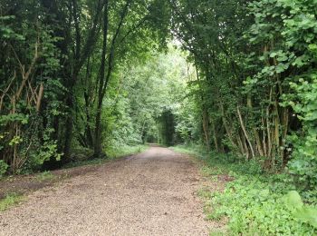
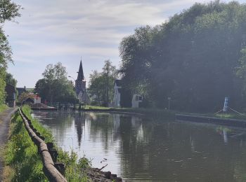
• chemins et canal
Marche
• marche facile sur chemin large et canal de la sombre à l'oise
Marche
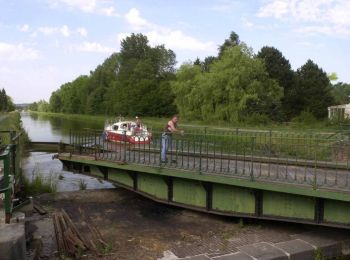
• A Lesquielles-St-Germain, étagé à flanc de coteau, l'Oise se divise en deux bras. Sur l'un deux, la "Rigole de l'Oise...

Marche
4 randonnées affichées sur 4
Application GPS de randonnée GRATUITE
 SityTrail
IGN / Instituts géographiques
SityTrail World
Le monde est à vous