


9,6 km | 10,6 km-effort
Sainte-Catherine : découvrez les meilleures randonnées : 7 marche. Tous ces circuits, parcours, itinéraires et activités en plein air sont disponibles dans nos applications SityTrail pour smartphones et tablettes.

Marche


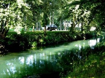
• Circuit proposé par la Communauté Urbaine d’Arras et l’Office de Tourisme d’Arras. Départ : Parking des Grandes Prair...
Marche
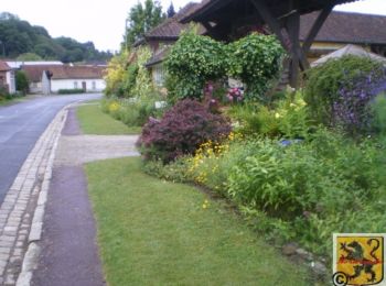
• Circuit proposé par la Communauté Urbaine d’Arras et l’Office de Tourisme d’Arras. Départ : Parking des Grandes Prair...
Marche
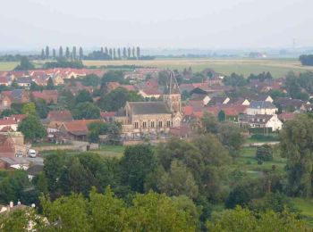
• Circuit proposé par la Communauté Urbaine d’Arras et l’Office de Tourisme d’Arras. Départ de l’église de Sainte-Cathe...
Marche
• Randonnée en autonomie complète sur 3 jours et deux bivouacs. Traversée des collines de l’Artois et du Ternois par le...

Marche
Marche
Marche
7 randonnées affichées sur 7
Application GPS de randonnée GRATUITE
 SityTrail
IGN / Instituts géographiques
SityTrail World
Le monde est à vous