


15,9 km | 18,7 km-effort
Courrières : découvrez les meilleures randonnées : 3 marche et 2 course à pied. Tous ces circuits, parcours, itinéraires et activités en plein air sont disponibles dans nos applications SityTrail pour smartphones et tablettes.
Course à pied


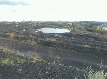
• belle sortie automnale à ne pas faire en famille. Trop sportif : monotrace + ronces et montées/descente de terrils p...
Marche

Marche
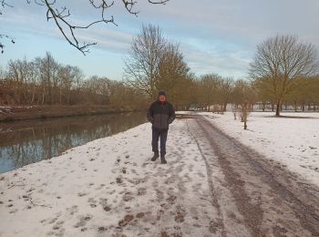
• bord du canal

Marche

Course à pied
5 randonnées affichées sur 5
Application GPS de randonnée GRATUITE
 SityTrail
IGN / Instituts géographiques
SityTrail World
Le monde est à vous