


23 km | 27 km-effort
Verderonne : découvrez les meilleures randonnées : 5 marche. Tous ces circuits, parcours, itinéraires et activités en plein air sont disponibles dans nos applications SityTrail pour smartphones et tablettes.

Marche


Marche
• Circuit découverte de la région ouest de Liancourt. Chemin vallonné avec de nombreux passages en forêt.
Marche
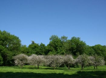
• Verderonne
Marche
• Départ de Verderonne, de l'intersection de la rue du Ponceau avec l'allée de l'Etang.
Marche
• Sortie organisée par les cyclo-pattes de Brenouille. Départ de Verderonne.
5 randonnées affichées sur 5
Application GPS de randonnée GRATUITE
 SityTrail
IGN / Instituts géographiques
SityTrail World
Le monde est à vous