


3,7 km | 4 km-effort
Huelva : découvrez les meilleures randonnées : 10 a pied, 12 marche et 2 marche nordique. Tous ces circuits, parcours, itinéraires et activités en plein air sont disponibles dans nos applications SityTrail pour smartphones et tablettes.
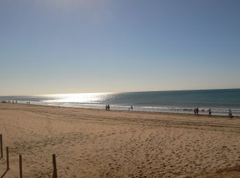
A pied


A pied
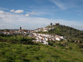
A pied
A pied
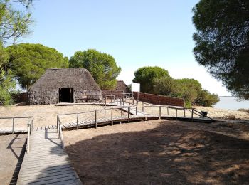
A pied
A pied
Marche
• I don't advice to do this walk as several ways indicated on the map do not exist or are in private fields. We had to ...
Marche
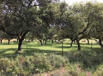
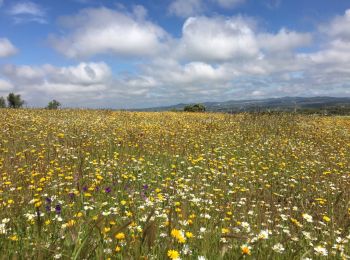
• From Cumbres Mayores to the valley and back. We walked slowly stopping often to look at flowers (mid May).
A pied

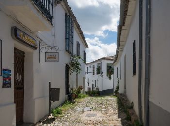
A pied
• Randonnée créée par Cortelazor la Real.
A pied
• Randonnée créée par Cortelazor la Real.
Marche
A pied

Marche
Marche
Marche
Marche
Marche
Marche
Marche
20 randonnées affichées sur 24
Application GPS de randonnée GRATUITE
 SityTrail
IGN / Instituts géographiques
SityTrail World
Le monde est à vous