


5,4 km | 9,5 km-effort
Grenade : découvrez les meilleures randonnées : 24 a pied, 92 marche et 1 marche nordique. Tous ces circuits, parcours, itinéraires et activités en plein air sont disponibles dans nos applications SityTrail pour smartphones et tablettes.
Marche


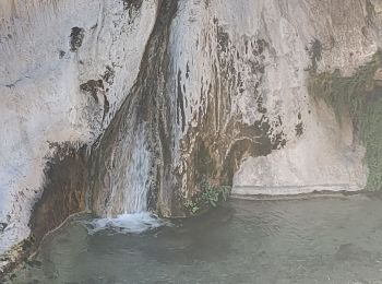
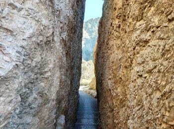
• Chemin qui descend à la cascade de los Animas. Joli cadre très sauvage pour aller voir la petite cascade. Les vues so...
A pied
• Randonnée créée par Federación Andaluza de Montañismo.
A pied
• Symbole: white strip on top of yellow strip
Marche
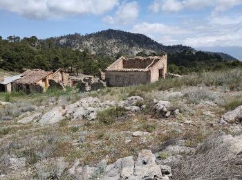
• Je me suis trompé à l'aller et nous avons dû couper à travers les broussailles pour revenir sur le chemin qui nous am...
Marche
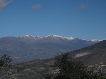
• Joli tour en forêt avec de superbes vues sur les montagnes
Marche
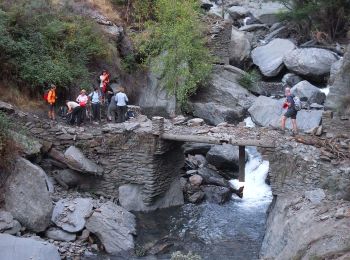
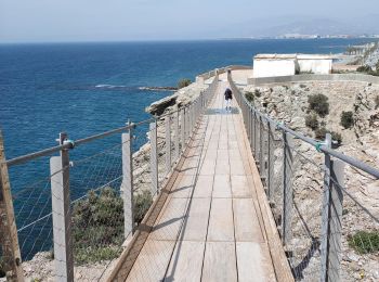
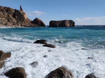
• Itinéraire aller-retour depuis la plage de Torrenueva en passant par : - Faro de Sacratif (1.7 km) - Puente colgante ...
Marche
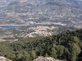
• Chemin de Pinos del valle jusqu'à Ermita del Santo Crito del zapato puis déjeuner au Cerro del Crucero del Pinos. Un ...
Marche
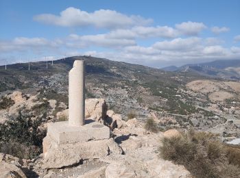
• Petite rando pour aller jusqu'au Pic Aguila.
Marche
• Belle balade dont une partie assez sauvage. Au début inutile de suivre le chemin qui descend dans le ravin alors que...
Marche
• Balade en moto pour se rendre à la passerelle du mirador de Karts. Très belle balade en moto dans des payasages de mo...
Marche
• Randonnée très facile à suivre car bien balisée par des poteaux marqués jaune. La seule difficulté est de trouver le ...
Marche
• Randonnée agréable sans réelle difficulté. La plupart du temps le chemin est cimentés. Le passage dans les oliviers a...
Marche
• Balade un peu sportive. La première partie est très facile et très sympa. Le chemin circule sur des aménagements ...
Marche
• Jolie randonnée sur un petit chemin qui longe la route. Aucune difficulté. Les paysages sont vraiment très beau tout...
A pied
A pied
A pied
A pied
A pied
A pied
20 randonnées affichées sur 117
Application GPS de randonnée GRATUITE
 SityTrail
IGN / Instituts géographiques
SityTrail World
Le monde est à vous