


14,5 km | 25 km-effort
Baztan : découvrez les meilleures randonnées : 4 a pied, 71 marche et 1 trail. Tous ces circuits, parcours, itinéraires et activités en plein air sont disponibles dans nos applications SityTrail pour smartphones et tablettes.
Marche


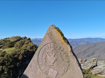
• Au départ de LEKAROZ ( petit village près d'ELIZONDO), circuit ayant pour objectif le LEGATE 870m. On gravira au pass...
A pied
• Symbole: white strip on top of green strip
A pied
• Symbole: white strip on top of green strip
Marche
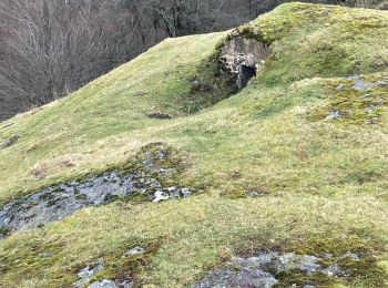
• Frontières en béton dans le massif du Gorramendi, sur les pentes du Gorramendi découvrir les fortifications que Franc...
Marche
• Frontières en béton dans le massif du Gorramendi, sur les pentes du Gorramendi découvrir les fortifications que Franc...
Marche
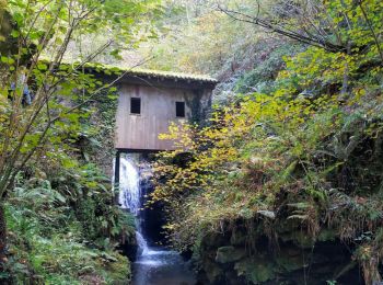
• le moulin de l'enfer depuis Gortariko Borda NA-4453 au K18 (stationnement le long de la cloture), collado Also, refug...
A pied
• Symbole: orange strip
A pied
• Symbole: white strip on top of green strip
Marche
• Boucle gauche pour les paresseux comme moi. ;) Boucle droite pour les sportifs. Concernant la boucle gauche retour pa...
Marche
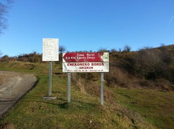
• Berdaritz, Urriska, Pago Zelai, Arlegi, Basagar, Burga, Antsoneko, Goisemets depuis l'ancien siège de la Guarda Civil...
Marche
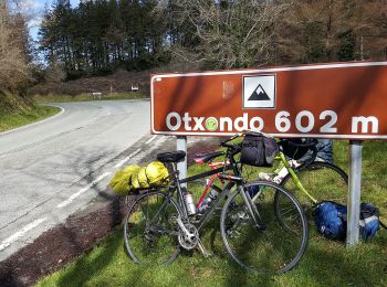
• départ d'Urrizti à 1,5km du col D'OTSONDO, en suivant les crêtes jusqu'à Lizartzu et ses tunnels, en passant par sols...
Marche
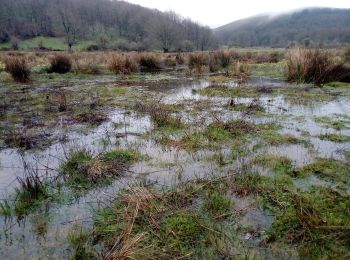
• Boucle balisée "Ver Ruta 2" PR NA 6 qui traverse la vallée Aritzakun. L'une des attractions de la vallée se trouve da...
Marche
Marche
• le tour sans sommet par la forêt et les paturages
Marche
Marche
Marche
Marche
Marche
Marche
20 randonnées affichées sur 76
Application GPS de randonnée GRATUITE
 SityTrail
IGN / Instituts géographiques
SityTrail World
Le monde est à vous