


3,4 km | 4,6 km-effort
Urrotz : découvrez les meilleures randonnées : 1 a pied et 3 marche. Tous ces circuits, parcours, itinéraires et activités en plein air sont disponibles dans nos applications SityTrail pour smartphones et tablettes.
A pied


• Symbole: white strip on top of green strip
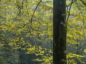
Marche
• 2024 04 22 Une superbe randonnée avec quatre sommets de plus de 1000 m, deux superbes lacs et aussi un dolmen, un men...
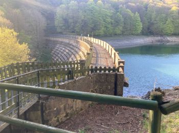
Marche

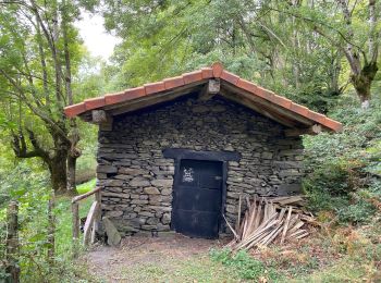
Marche
4 randonnées affichées sur 4
Application GPS de randonnée GRATUITE
 SityTrail
IGN / Instituts géographiques
SityTrail World
Le monde est à vous