


21 km | 31 km-effort
Fontarrabie : découvrez les meilleures randonnées : 70 marche et 1 marche nordique. Tous ces circuits, parcours, itinéraires et activités en plein air sont disponibles dans nos applications SityTrail pour smartphones et tablettes.

Marche


• Super rando
Marche
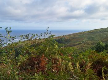
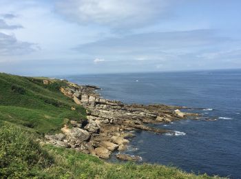
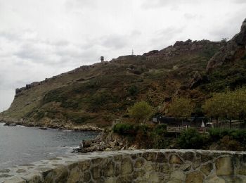
• La randonnée se situe en partie Nord du Mont Jaizkibel, le chemin longe l'Océan jusqu'au phare du Figuier, un retour ...
Marche
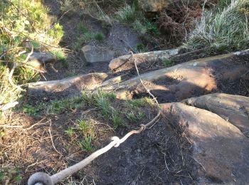
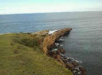
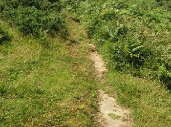
• Sentier côtier escarpé
Marche
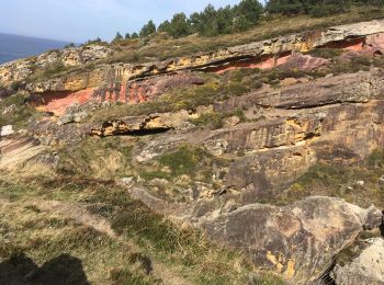
• "Le Jaizkibel s'est formé à l'Éocène. A cette époque, une fosse marine sépare l'Europe (au niveau de Saint Jean de Lu...
Marche
Marche
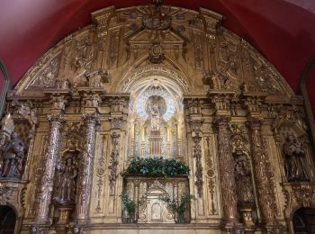
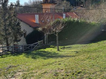
• Se garer sur le parking de notre dame de guadalupe et faire la route au départ 1200m environ ( assez passante)
Marche
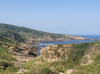
• Un petit aller retour sur le chemin du littoral depuis cap du figuier .
Marche
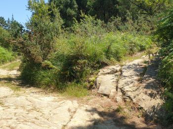
• au départ d'Ermita Guadalupe par Cabo de Higuer, Plantainaudi, Marla, Txurtxipi, Laondo Munandi,

Marche
• boucle depuis la chapelle de Guadelupe
Marche

Marche
• La randonnée se situe en partie Nord du Mont Jaizkibel, le chemin longe l'Océan jusqu'au phare du Figuier, un retour ...
Marche
Marche
Marche
Marche
Marche
Marche
• Parking K9
Marche
• Reco San telmo / parking Guadalupe
Marche
• Dur
Marche
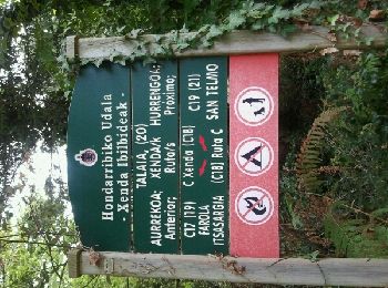
• Commune de Hondarriba
20 randonnées affichées sur 71
Application GPS de randonnée GRATUITE
 SityTrail
IGN / Instituts géographiques
SityTrail World
Le monde est à vous