


10,7 km | 13,9 km-effort
Lugo : découvrez les meilleures randonnées : 11 a pied, 128 marche et 5 marche nordique. Tous ces circuits, parcours, itinéraires et activités en plein air sont disponibles dans nos applications SityTrail pour smartphones et tablettes.
A pied


• Randonnée créée par Xunta de Galicia, Consellería do medio rural.
A pied
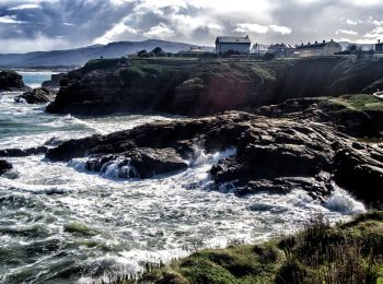
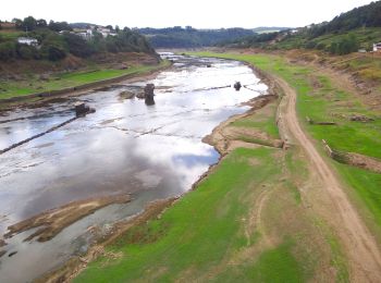
• Randonnée créée par Concello de Foz.
A pied
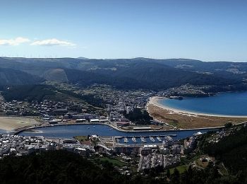
• Randonnée créée par Concello de Viveiro+.
A pied
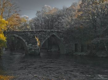
• Randonnée créée par Concello de Outeiro de Rei.
Marche
• Peu de pluie …
Marche
• Étape 4 Palas del rei -> Ribadiso

Marche
• Étape 3 Portomarin -> Palas del Rei
Marche
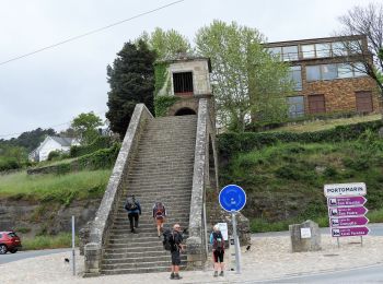
• Étape 2 SARRIA -> PORTOMARIN
Marche
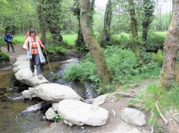
• De Samos pour Sarria 15 kms sur le camino frances
A pied
• Randonnée créée par Concello de Foz.
A pied
A pied
A pied
Marche
• Randonnée Marche de 28 km à découvrir à Pedrafita do Cebreiro, Lugo, Galicia. Cette randonnée est proposée par patric...
Marche
• Randonnée Marche de 21 km à découvrir à Sarria, Lugo, Galicia. Cette randonnée est proposée par patrickdanilo
Marche
• Randonnée Marche de 22 km à découvrir à Palas de Rei, Lugo, Galicia. Cette randonnée est proposée par patrickdanilo.

Marche
• Randonnée Marche de 24 km à découvrir à Portomarín, Lugo, Galicia. Cette randonnée est proposée par patrickdanilo
Marche

Marche
Marche
20 randonnées affichées sur 144
Application GPS de randonnée GRATUITE
 SityTrail
IGN / Instituts géographiques
SityTrail World
Le monde est à vous