


8,5 km | 13,1 km-effort
Manresa : découvrez les meilleures randonnées : 8 a pied. Tous ces circuits, parcours, itinéraires et activités en plein air sont disponibles dans nos applications SityTrail pour smartphones et tablettes.
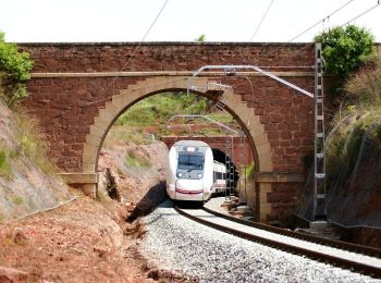
A pied


• Randonnée créée par Ajuntament de Manresa. Ruta que pertany a l'Anella Verda de Manresa Site web: http://www.anel...
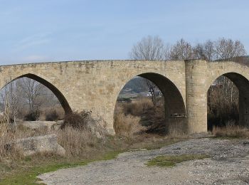
A pied
• Randonnée créée par Ajuntament de Manresa. Ruta que pertany a l'Anella Verda de Manresa Site web: http://www.anel...
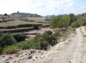
A pied
• Randonnée créée par Ajuntament de Manresa. Ruta que pertany a l'Anella Verda de Manresa. Site web: http://www.ane...

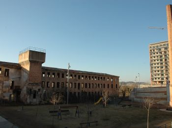
A pied
• Randonnée créée par Ajuntament de Manresa. Ruta que pertany a l'Anella Verda de Manresa. El recorregut passa per din...
A pied
• Randonnée créée par Ajuntament de Manresa. Ruta que pertany a l'Anella Verda de Manresa Site web: http://www.anel...

A pied
• Randonnée créée par Ajuntament de Manresa. Ruta que pertany a l'Anella Verda de Manresa Site web: http://www.anel...
A pied
• Randonnée créée par Ajuntament de Manresa. Ruta que pertany a l'Anella Verda de Manresa Site web: http://www.anel...
A pied
• Randonnée créée par Ajuntament de Manresa. Ruta que pertany a l'Anella Verda de Manresa Site web: http://www.anel...
8 randonnées affichées sur 8
Application GPS de randonnée GRATUITE
 SityTrail
IGN / Instituts géographiques
SityTrail World
Le monde est à vous