


4,9 km | 9,3 km-effort
Los Realejos : découvrez les meilleures randonnées : 5 a pied et 10 marche. Tous ces circuits, parcours, itinéraires et activités en plein air sont disponibles dans nos applications SityTrail pour smartphones et tablettes.
A pied


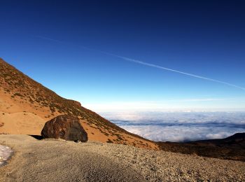
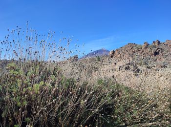
• Randonnée créée par Parque Nacional del Teide.
A pied
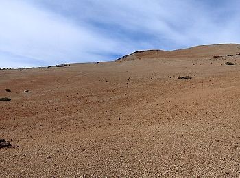
• Randonnée créée par Parque Nacional del Teide.
A pied
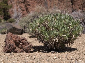
• Randonnée créée par Parque Nacional del Teide. Site web: http://www.vierayclavijo.org/html/paginas/cursos/cursos_2...
A pied
• Randonnée créée par Parque Nacional del Teide.

Marche
Marche
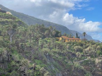
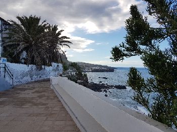
• Belle rando agréable. Dénivelé fort dès le départ. Descente sur la route vers le village avec vue sur la mer. Beau vi...
Marche
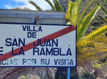
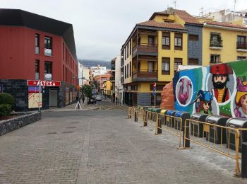
• Départ: Sortie 39 de la TF-5 (Rambla Castro)
A pied
Marche
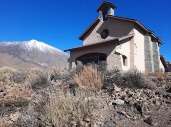
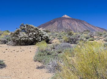
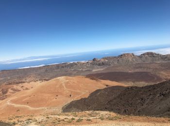
• Au pied du volcan Le TEide
Marche
Marche
Marche
Marche
Marche
Marche
15 randonnées affichées sur 15
Application GPS de randonnée GRATUITE
 SityTrail
IGN / Instituts géographiques
SityTrail World
Le monde est à vous