


4,7 km | 6,7 km-effort
Vallehermoso : découvrez les meilleures randonnées : 7 a pied, 28 marche et 2 course à pied. Tous ces circuits, parcours, itinéraires et activités en plein air sont disponibles dans nos applications SityTrail pour smartphones et tablettes.
Marche


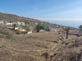
• Rando depuis la maison de Cyran.
A pied
• Randonnée créée par Let's move Gomera caminos.
Marche
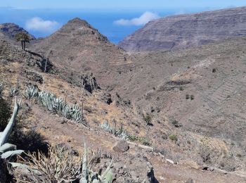
• Surperbe vue sur la Palma et coin de pique-nique au Mirador de Santa Clara

Marche
• Rando depuis la maison de Cyran.
Marche
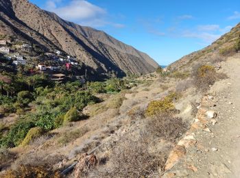
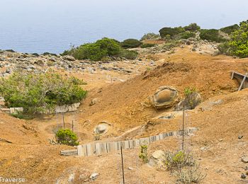
• Après la route asphaltée, magnifique traversée du Barranco, très sauvage, en slalom. Montée raide mais sur un bon sen...
A pied
A pied
A pied
A pied
A pied
Marche
Marche
Marche
Marche
• Randonnée assez longue et difficile. La descente au fond de la vallée est très belle et bien marquée mais raide, ass...

Marche
Marche
Marche
Marche
Marche

A pied
20 randonnées affichées sur 37
Application GPS de randonnée GRATUITE
 SityTrail
IGN / Instituts géographiques
SityTrail World
Le monde est à vous