


11,3 km | 19,8 km-effort
Îles Canaries : découvrez les meilleures randonnées : 120 a pied, 602 marche, 1 marche nordique, 17 course à pied et 12 trail. Tous ces circuits, parcours, itinéraires et activités en plein air sont disponibles dans nos applications SityTrail pour smartphones et tablettes.
A pied


• En face le Teide TREK Allibert en octobre 2023 5eme journée le jeudi
Marche
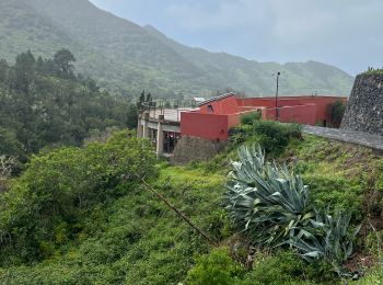
• Rando depuis la maison de Cyran.
Marche
• Départ Las Portelas PRTF59 jusque là direction Masca prendre le PR TF51 Cumbre de Bolico ., vue magnifique sur le de...
Marche
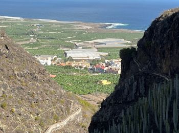
• Départ de La Asomada. Peu après le départ, un petit mur barre le chemin, le contourner pour poursuivre la randonnée. ...
Marche
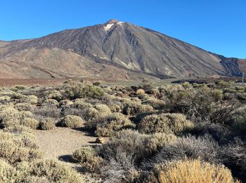
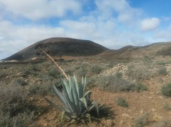
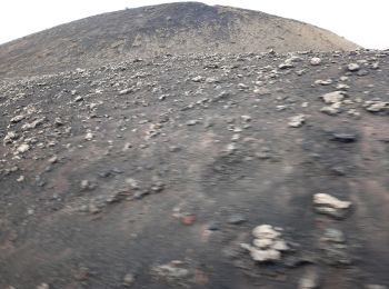
• Montée au sommet du volcan
Marche
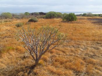
• Une très belles randonnée avec une multitude de paysages : champs de Kate, petit cratère et grand cratère avec une vu...

Marche
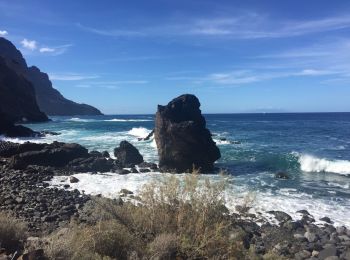
• Los Gigantes
Marche
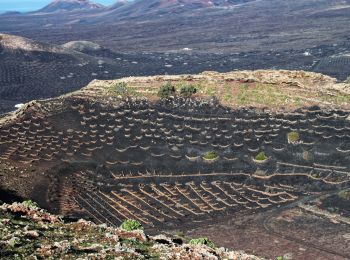
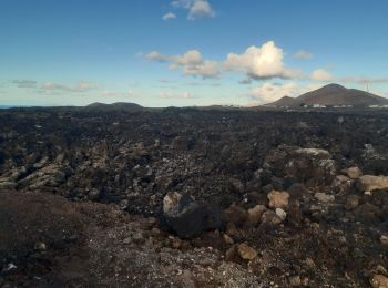
• Tracé en aller-retour En chemin: l'arche d'amour, bombe volcanique, nombreux éclats d'olivine incrustées dans la lave...
Marche
• Ascension sommet Espagne 3718 m TREK Allibert en octobre 2023 6eme journée le vendredi
Marche
• Premiers volcans TREK Allibert en octobre 2023 4eme journée mercredi
Marche
• TREK Allibert en octobre 2023 3 eme journée le mardi repas typique à Téno
Marche
• TREK Allibert en octobre 2023 2 eme journée le lundi
Marche
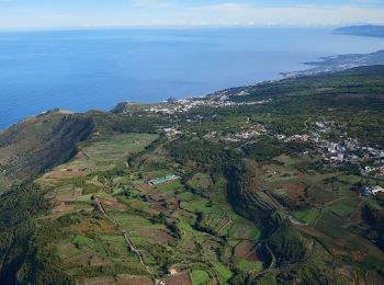
• Massif de l'Anaga TREK Allibert en octobre 2023 1ere journée le dimanche
A pied
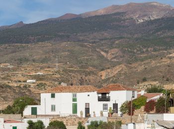
• Randonnée créée par Cabildo Insular de Tenerife.
A pied
• The Way is signposted annually
A pied
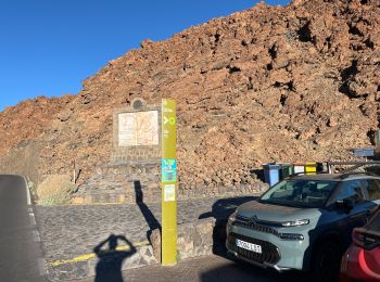
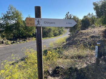
• Randonnée créée par Parque Nacional de Timanfaya.
A pied
• Randonnée créée par Ayuntamiento Villa de Arico. Symbole: parallel horizontal bars white white
A pied
• Randonnée créée par Ayuntamiento de El Tanque. Symbole: parallel horizontal bars green white
A pied
• Randonnée créée par Ayuntamiento de El Tanque. Symbole: parallel horizontal bars green white
A pied
• Site web: http://www.senderosdelapalma.es/senderos/lista-de-senderos/senderos-autoguiados/
20 randonnées affichées sur 752
Application GPS de randonnée GRATUITE
 SityTrail
IGN / Instituts géographiques
SityTrail World
Le monde est à vous