


8,8 km | 10 km-effort
Hermannsburg : découvrez les meilleures randonnées : 5 a pied. Tous ces circuits, parcours, itinéraires et activités en plein air sont disponibles dans nos applications SityTrail pour smartphones et tablettes.
A pied


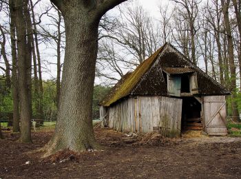
• Die Wanderungen des W11 "Auf den Spuren des großen Waldbrandes" veranschaulichen, wie sich die Natur die Landschaft n...
A pied
• Die Wanderungen des W11 "Auf den Spuren des großen Waldbrandes" veranschaulichen, wie sich die Natur die Landschaft n...
A pied
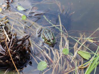
• Die Wanderwege des W10 "Im Reich der Heidschnucken" führen durch eines der schönsten Heidegebiete des Naturparks Südh...

A pied
• Die Wanderwege des W10 "Im Reich der Heidschnucken" führen durch eines der schönsten Heidegebiete des Naturparks Südh...
A pied
• früher/previous route
5 randonnées affichées sur 5
Application GPS de randonnée GRATUITE
 SityTrail
IGN / Instituts géographiques
SityTrail World
Le monde est à vous