![](/images/other/stat-length.png)
- Randonnées
- A pied
- Allemagne
- Basse-Saxe
- Goslar (arrondissement)
- Bad Harzburg
Bad Harzburg, Goslar (arrondissement), A pied : Les meilleures randonnées, itinéraires, parcours, balades et promenades
Bad Harzburg : découvrez les meilleures randonnées : 3 a pied. Tous ces circuits, parcours, itinéraires et activités en plein air sont disponibles dans nos applications SityTrail pour smartphones et tablettes.
Les meilleurs parcours (3)
![Randonnée A pied Bad Harzburg - Luchstour - Photo](https://media.geolcdn.com/t/350/260/5a4c5f26-93db-40c8-be08-cbef573cd379.jpeg&format=jpg&maxdim=2)
![A pied A pied](https://static1.geolcdn.com/sitytour/trail-icons/100.png)
Km
A pied
![](/images/other/stat-length.png)
![](https://static1.geolcdn.com/siteimages/upload/files/1508320355ic_sort_den_pos_24dp.png)
![](https://static1.geolcdn.com/siteimages/upload/files/1508320355ic_sort_den_neg_24dp.png)
![](https://static1.geolcdn.com/siteimages/upload/files/16400158638029165_repeat_loop_refresh_sync_direction_icon.png)
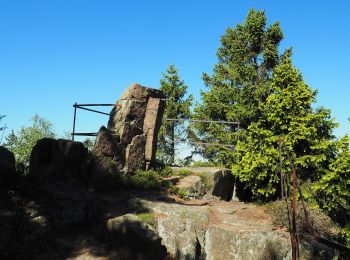
• Symbole: Luchskopf Site web: https://www.bad-harzburg.de/wanderland/wandern-aktiv/luchstour.html
![Randonnée A pied Bad Harzburg - Teufelsstieg - Photo](https://media.geolcdn.com/t/350/260/392db4e3-d9a3-49b5-acbc-33086b46f6bd.jpeg&format=jpg&maxdim=2)
![A pied A pied](https://static1.geolcdn.com/sitytour/trail-icons/100.png)
Km
A pied
![](/images/other/stat-length.png)
![](https://static1.geolcdn.com/siteimages/upload/files/1508320355ic_sort_den_pos_24dp.png)
![](https://static1.geolcdn.com/siteimages/upload/files/1508320355ic_sort_den_neg_24dp.png)
![](https://static1.geolcdn.com/siteimages/upload/files/16400158638029165_repeat_loop_refresh_sync_direction_icon.png)
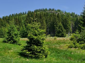
• Symbole: Weißer Teufel auf grünem Grund Site web: https://www.bad-harzburg.de/wanderland/wandern-aktiv/teufelsstieg...
![Randonnée A pied Bad Harzburg - Stadtrundweg Bad Harzburg - Photo](https://media.geolcdn.com/t/350/260/ext.jpg?maxdim=2&url=https%3A%2F%2Fstatic1.geolcdn.com%2Fsiteimages%2Fupload%2Ffiles%2F1545311037marcheuse_200dpi.jpg)
![A pied A pied](https://static1.geolcdn.com/sitytour/trail-icons/100.png)
Km
A pied
![](/images/other/stat-length.png)
![](https://static1.geolcdn.com/siteimages/upload/files/1508320355ic_sort_den_pos_24dp.png)
![](https://static1.geolcdn.com/siteimages/upload/files/1508320355ic_sort_den_neg_24dp.png)
![](https://static1.geolcdn.com/siteimages/upload/files/16400158638029165_repeat_loop_refresh_sync_direction_icon.png)
3 randonnées affichées sur 3
Application GPS de randonnée GRATUITE