![](/images/other/stat-length.png)
- Randonnées
- A pied
- Allemagne
- Hesse
- Wetteraukreis
- Butzbach
Butzbach, Wetteraukreis, A pied : Les meilleures randonnées, itinéraires, parcours, balades et promenades
Butzbach : découvrez les meilleures randonnées : 8 a pied. Tous ces circuits, parcours, itinéraires et activités en plein air sont disponibles dans nos applications SityTrail pour smartphones et tablettes.
Les meilleurs parcours (8)
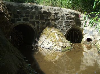
![Randonnée A pied Butzbach - Wanderwege Wiesental - Eule - Photo](https://media.geolcdn.com/t/350/260/788fbd64-b890-4d4c-8b6e-627c21b117e2.jpeg&format=jpg&maxdim=2)
![A pied A pied](https://static1.geolcdn.com/sitytour/trail-icons/100.png)
Km
A pied
![](/images/other/stat-length.png)
![](https://static1.geolcdn.com/siteimages/upload/files/1508320355ic_sort_den_pos_24dp.png)
![](https://static1.geolcdn.com/siteimages/upload/files/1508320355ic_sort_den_neg_24dp.png)
![](https://static1.geolcdn.com/siteimages/upload/files/16400158638029165_repeat_loop_refresh_sync_direction_icon.png)
• Randonnée créée par Naturpark Hochtaunus. Symbole: schwarze Eule auf weißem Grund
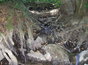
![Randonnée A pied Butzbach - Wanderwege Wiesental - Libelle - Photo](https://media.geolcdn.com/t/350/260/eefb29fe-a3ba-423a-8349-90f3a26fd1fd.jpeg&format=jpg&maxdim=2)
![A pied A pied](https://static1.geolcdn.com/sitytour/trail-icons/100.png)
Km
A pied
![](/images/other/stat-length.png)
![](https://static1.geolcdn.com/siteimages/upload/files/1508320355ic_sort_den_pos_24dp.png)
![](https://static1.geolcdn.com/siteimages/upload/files/1508320355ic_sort_den_neg_24dp.png)
![](https://static1.geolcdn.com/siteimages/upload/files/16400158638029165_repeat_loop_refresh_sync_direction_icon.png)
• Randonnée créée par Naturpark Hochtaunus. Symbole: blaue Libelle auf weißem Grund
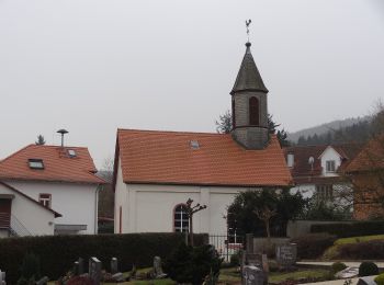
![Randonnée A pied Butzbach - Wanderwege Butzbach - Hase - Photo](https://media.geolcdn.com/t/350/260/0fc54e4f-41e6-4e1e-b079-1fa24486f7da.jpeg&format=jpg&maxdim=2)
![A pied A pied](https://static1.geolcdn.com/sitytour/trail-icons/100.png)
Km
A pied
![](/images/other/stat-length.png)
![](https://static1.geolcdn.com/siteimages/upload/files/1508320355ic_sort_den_pos_24dp.png)
![](https://static1.geolcdn.com/siteimages/upload/files/1508320355ic_sort_den_neg_24dp.png)
![](https://static1.geolcdn.com/siteimages/upload/files/16400158638029165_repeat_loop_refresh_sync_direction_icon.png)
• Randonnée créée par Naturpark Hochtaunus. Symbole: brauner Hase auf weißem Grund
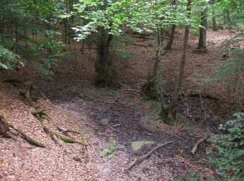
![Randonnée A pied Butzbach - Wanderwege Hausberg - Milan - Photo](https://media.geolcdn.com/t/350/260/179e238c-79e2-436c-9d9b-e778eb0615f8.jpeg&format=jpg&maxdim=2)
![A pied A pied](https://static1.geolcdn.com/sitytour/trail-icons/100.png)
Km
A pied
![](/images/other/stat-length.png)
![](https://static1.geolcdn.com/siteimages/upload/files/1508320355ic_sort_den_pos_24dp.png)
![](https://static1.geolcdn.com/siteimages/upload/files/1508320355ic_sort_den_neg_24dp.png)
![](https://static1.geolcdn.com/siteimages/upload/files/16400158638029165_repeat_loop_refresh_sync_direction_icon.png)
• Randonnée créée par Naturpark Hochtaunus. Symbole: roter Milan auf weißem Grund
![Randonnée A pied Butzbach - Waldlehrpfad Münster - Ahornblatt - Photo](https://media.geolcdn.com/t/350/260/9dafdac6-95e5-41ce-bd50-2c1b513d0512.jpeg&format=jpg&maxdim=2)
![A pied A pied](https://static1.geolcdn.com/sitytour/trail-icons/100.png)
Km
A pied
![](/images/other/stat-length.png)
![](https://static1.geolcdn.com/siteimages/upload/files/1508320355ic_sort_den_pos_24dp.png)
![](https://static1.geolcdn.com/siteimages/upload/files/1508320355ic_sort_den_neg_24dp.png)
![](https://static1.geolcdn.com/siteimages/upload/files/16400158638029165_repeat_loop_refresh_sync_direction_icon.png)
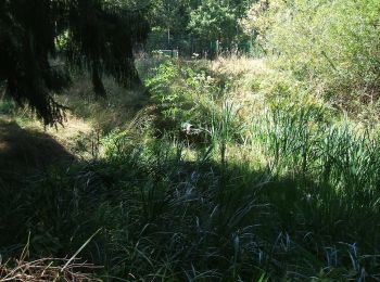
• Randonnée créée par Naturpark Hochtaunus. Symbole: braunes Ahornblatt auf weißem Grund
![Randonnée A pied Butzbach - Waldlehrpfad Münster - Fichte - Photo](https://media.geolcdn.com/t/350/260/9dafdac6-95e5-41ce-bd50-2c1b513d0512.jpeg&format=jpg&maxdim=2)
![A pied A pied](https://static1.geolcdn.com/sitytour/trail-icons/100.png)
Km
A pied
![](/images/other/stat-length.png)
![](https://static1.geolcdn.com/siteimages/upload/files/1508320355ic_sort_den_pos_24dp.png)
![](https://static1.geolcdn.com/siteimages/upload/files/1508320355ic_sort_den_neg_24dp.png)
![](https://static1.geolcdn.com/siteimages/upload/files/16400158638029165_repeat_loop_refresh_sync_direction_icon.png)
• Randonnée créée par Naturpark Hochtaunus. Symbole: grüne Fichte auf weißem Grund
![Randonnée A pied Butzbach - Wanderwege Hausberg - Eichenblatt - Photo](https://media.geolcdn.com/t/350/260/84ad22fa-ea62-4619-9896-160d1747c5a9.jpeg&format=jpg&maxdim=2)
![A pied A pied](https://static1.geolcdn.com/sitytour/trail-icons/100.png)
Km
A pied
![](/images/other/stat-length.png)
![](https://static1.geolcdn.com/siteimages/upload/files/1508320355ic_sort_den_pos_24dp.png)
![](https://static1.geolcdn.com/siteimages/upload/files/1508320355ic_sort_den_neg_24dp.png)
![](https://static1.geolcdn.com/siteimages/upload/files/16400158638029165_repeat_loop_refresh_sync_direction_icon.png)
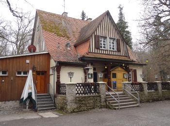
• Randonnée créée par Naturpark Hochtaunus. Symbole: Grünes Eichenblatt auf weißem Grund
![Randonnée A pied Butzbach - Hessentagswanderweg - Photo](https://media.geolcdn.com/t/350/260/cc025fc3-7f09-4597-857b-e4220fdd1eb4.jpeg&format=jpg&maxdim=2)
![A pied A pied](https://static1.geolcdn.com/sitytour/trail-icons/100.png)
Km
A pied
![](/images/other/stat-length.png)
![](https://static1.geolcdn.com/siteimages/upload/files/1508320355ic_sort_den_pos_24dp.png)
![](https://static1.geolcdn.com/siteimages/upload/files/1508320355ic_sort_den_neg_24dp.png)
![](https://static1.geolcdn.com/siteimages/upload/files/16400158638029165_repeat_loop_refresh_sync_direction_icon.png)
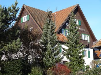
• Randonnée créée par Stadt Butzbach. Symbole: Hessentagssymbol 2007
8 randonnées affichées sur 8
Application GPS de randonnée GRATUITE