![](/images/other/stat-length.png)
- Randonnées
- A pied
- Allemagne
- Sarre
- Saarpfalz-Kreis
- Mandelbachtal
Mandelbachtal, Saarpfalz-Kreis, A pied : Les meilleures randonnées, itinéraires, parcours, balades et promenades
Mandelbachtal : découvrez les meilleures randonnées : 11 a pied. Tous ces circuits, parcours, itinéraires et activités en plein air sont disponibles dans nos applications SityTrail pour smartphones et tablettes.
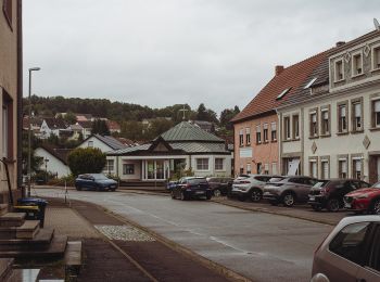
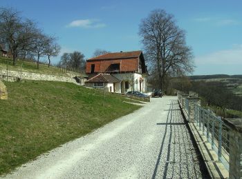
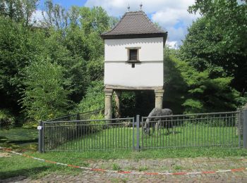
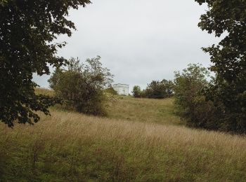
Les meilleurs parcours (11)
![Randonnée A pied Mandelbachtal - Kneipp-Rundweg Ormesheim - Photo](https://media.geolcdn.com/t/350/260/dbac5f73-b780-4acf-abd6-0160ebb89fb9.jpeg&format=jpg&maxdim=2)
![A pied A pied](https://static1.geolcdn.com/sitytour/trail-icons/100.png)
Km
A pied
![](/images/other/stat-length.png)
![](https://static1.geolcdn.com/siteimages/upload/files/1508320355ic_sort_den_pos_24dp.png)
![](https://static1.geolcdn.com/siteimages/upload/files/1508320355ic_sort_den_neg_24dp.png)
![](https://static1.geolcdn.com/siteimages/upload/files/16400158638029165_repeat_loop_refresh_sync_direction_icon.png)
• Randonnée créée par Kneippverein. Symbole: Schriftzug "Kneipp-Rundweg"
![Randonnée A pied Mandelbachtal - Lochfeld-Tour - Photo](https://media.geolcdn.com/t/350/260/bc813a3b-33fb-42c1-9ccc-0aa867764c45.jpeg&format=jpg&maxdim=2)
![A pied A pied](https://static1.geolcdn.com/sitytour/trail-icons/100.png)
Km
A pied
![](/images/other/stat-length.png)
![](https://static1.geolcdn.com/siteimages/upload/files/1508320355ic_sort_den_pos_24dp.png)
![](https://static1.geolcdn.com/siteimages/upload/files/1508320355ic_sort_den_neg_24dp.png)
![](https://static1.geolcdn.com/siteimages/upload/files/16400158638029165_repeat_loop_refresh_sync_direction_icon.png)
• Randonnée créée par Nature Fitness Park. Symbole: Nature Fitness Park "3"
![Randonnée A pied Mandelbachtal - Bodymed-Tour - Photo](https://media.geolcdn.com/t/350/260/bc813a3b-33fb-42c1-9ccc-0aa867764c45.jpeg&format=jpg&maxdim=2)
![A pied A pied](https://static1.geolcdn.com/sitytour/trail-icons/100.png)
Km
A pied
![](/images/other/stat-length.png)
![](https://static1.geolcdn.com/siteimages/upload/files/1508320355ic_sort_den_pos_24dp.png)
![](https://static1.geolcdn.com/siteimages/upload/files/1508320355ic_sort_den_neg_24dp.png)
![](https://static1.geolcdn.com/siteimages/upload/files/16400158638029165_repeat_loop_refresh_sync_direction_icon.png)
• Randonnée créée par Nature Fitness Park. Symbole: Nature Fitness Park "1"
![Randonnée A pied Mandelbachtal - Heidekopf-Tour - Photo](https://media.geolcdn.com/t/350/260/bc813a3b-33fb-42c1-9ccc-0aa867764c45.jpeg&format=jpg&maxdim=2)
![A pied A pied](https://static1.geolcdn.com/sitytour/trail-icons/100.png)
Km
A pied
![](/images/other/stat-length.png)
![](https://static1.geolcdn.com/siteimages/upload/files/1508320355ic_sort_den_pos_24dp.png)
![](https://static1.geolcdn.com/siteimages/upload/files/1508320355ic_sort_den_neg_24dp.png)
![](https://static1.geolcdn.com/siteimages/upload/files/16400158638029165_repeat_loop_refresh_sync_direction_icon.png)
• Randonnée créée par Nature Fitness Park. Symbole: Nature Fitness Park "2"
![Randonnée A pied Mandelbachtal - Natura Trails Ormesheim - Photo](https://media.geolcdn.com/t/350/260/bc813a3b-33fb-42c1-9ccc-0aa867764c45.jpeg&format=jpg&maxdim=2)
![A pied A pied](https://static1.geolcdn.com/sitytour/trail-icons/100.png)
Km
A pied
![](/images/other/stat-length.png)
![](https://static1.geolcdn.com/siteimages/upload/files/1508320355ic_sort_den_pos_24dp.png)
![](https://static1.geolcdn.com/siteimages/upload/files/1508320355ic_sort_den_neg_24dp.png)
![](https://static1.geolcdn.com/siteimages/upload/files/16400158638029165_repeat_loop_refresh_sync_direction_icon.png)
• Randonnée créée par NaturFreunde Sektion Straßenbahn Saarbrücken. Symbole: Rote Blumen über grünen Händen auf weißem...
![Randonnée A pied Mandelbachtal - Allenberg-Tour - Photo](https://media.geolcdn.com/t/350/260/c3fd842e-c80b-4b03-bd3f-db35f122b357.jpeg&format=jpg&maxdim=2)
![A pied A pied](https://static1.geolcdn.com/sitytour/trail-icons/100.png)
Km
A pied
![](/images/other/stat-length.png)
![](https://static1.geolcdn.com/siteimages/upload/files/1508320355ic_sort_den_pos_24dp.png)
![](https://static1.geolcdn.com/siteimages/upload/files/1508320355ic_sort_den_neg_24dp.png)
![](https://static1.geolcdn.com/siteimages/upload/files/16400158638029165_repeat_loop_refresh_sync_direction_icon.png)
• Randonnée créée par Nature.Fitness.Park. Symbole: 3
![Randonnée A pied Mandelbachtal - Breiter-Wald-Tour - Photo](https://media.geolcdn.com/t/350/260/c3fd842e-c80b-4b03-bd3f-db35f122b357.jpeg&format=jpg&maxdim=2)
![A pied A pied](https://static1.geolcdn.com/sitytour/trail-icons/100.png)
Km
A pied
![](/images/other/stat-length.png)
![](https://static1.geolcdn.com/siteimages/upload/files/1508320355ic_sort_den_pos_24dp.png)
![](https://static1.geolcdn.com/siteimages/upload/files/1508320355ic_sort_den_neg_24dp.png)
![](https://static1.geolcdn.com/siteimages/upload/files/16400158638029165_repeat_loop_refresh_sync_direction_icon.png)
• Randonnée créée par Nature.Fitness.Park. Symbole: 2
![Randonnée A pied Mandelbachtal - Brudermannsfeld-Tour - Photo](https://media.geolcdn.com/t/350/260/c3fd842e-c80b-4b03-bd3f-db35f122b357.jpeg&format=jpg&maxdim=2)
![A pied A pied](https://static1.geolcdn.com/sitytour/trail-icons/100.png)
Km
A pied
![](/images/other/stat-length.png)
![](https://static1.geolcdn.com/siteimages/upload/files/1508320355ic_sort_den_pos_24dp.png)
![](https://static1.geolcdn.com/siteimages/upload/files/1508320355ic_sort_den_neg_24dp.png)
![](https://static1.geolcdn.com/siteimages/upload/files/16400158638029165_repeat_loop_refresh_sync_direction_icon.png)
• Randonnée créée par Nature.Fitness.Park. Symbole: 1
![Randonnée A pied Mandelbachtal - Bliesgau Tafeltour - Photo](https://media.geolcdn.com/t/350/260/3f9c49bc-c8b7-44c3-8d03-621b7d026ed2.jpeg&format=jpg&maxdim=2)
![A pied A pied](https://static1.geolcdn.com/sitytour/trail-icons/100.png)
Km
A pied
![](/images/other/stat-length.png)
![](https://static1.geolcdn.com/siteimages/upload/files/1508320355ic_sort_den_pos_24dp.png)
![](https://static1.geolcdn.com/siteimages/upload/files/1508320355ic_sort_den_neg_24dp.png)
![](https://static1.geolcdn.com/siteimages/upload/files/16400158638029165_repeat_loop_refresh_sync_direction_icon.png)
• Randonnée créée par Gemeinde Mandelbachtal. Symbole: schwarzer Umriss Kochmütze auf weißem Viereck
![Randonnée A pied Mandelbachtal - Heckendalheimer Höhen- und Klammenweg - Photo](https://media.geolcdn.com/t/350/260/fc1842e4-9ed2-4f92-8d37-7cc75582c21d.jpeg&format=jpg&maxdim=2)
![A pied A pied](https://static1.geolcdn.com/sitytour/trail-icons/100.png)
Km
A pied
![](/images/other/stat-length.png)
![](https://static1.geolcdn.com/siteimages/upload/files/1508320355ic_sort_den_pos_24dp.png)
![](https://static1.geolcdn.com/siteimages/upload/files/1508320355ic_sort_den_neg_24dp.png)
![](https://static1.geolcdn.com/siteimages/upload/files/16400158638029165_repeat_loop_refresh_sync_direction_icon.png)
• Randonnée créée par Heimat- und Kulturverein Heckendalheim. 2020-04-04: Die Route wurde mit einer Umleitung versehen...
![Randonnée A pied Mandelbachtal - Kneipprundwanderweg Erfweiler-Ehlingen - Photo](https://media.geolcdn.com/t/350/260/3f9c49bc-c8b7-44c3-8d03-621b7d026ed2.jpeg&format=jpg&maxdim=2)
![A pied A pied](https://static1.geolcdn.com/sitytour/trail-icons/100.png)
Km
A pied
![](/images/other/stat-length.png)
![](https://static1.geolcdn.com/siteimages/upload/files/1508320355ic_sort_den_pos_24dp.png)
![](https://static1.geolcdn.com/siteimages/upload/files/1508320355ic_sort_den_neg_24dp.png)
![](https://static1.geolcdn.com/siteimages/upload/files/16400158638029165_repeat_loop_refresh_sync_direction_icon.png)
11 randonnées affichées sur 11
Application GPS de randonnée GRATUITE