![](/images/other/stat-length.png)
- Randonnées
- A pied
- Allemagne
- Thuringe
- Erfurt
Erfurt, Thuringe, A pied : Les meilleures randonnées, itinéraires, parcours, balades et promenades
Erfurt : découvrez les meilleures randonnées : 12 a pied. Tous ces circuits, parcours, itinéraires et activités en plein air sont disponibles dans nos applications SityTrail pour smartphones et tablettes.
Les meilleurs parcours (12)
![Randonnée A pied - Erfurter Steigerwald: Rotes Rad - Photo](https://media.geolcdn.com/t/350/260/b615b412-7687-43bb-8ee8-5f5191c0dd7b.jpeg&format=jpg&maxdim=2)
![A pied A pied](https://static1.geolcdn.com/sitytour/trail-icons/100.png)
Km
A pied
![](/images/other/stat-length.png)
![](https://static1.geolcdn.com/siteimages/upload/files/1508320355ic_sort_den_pos_24dp.png)
![](https://static1.geolcdn.com/siteimages/upload/files/1508320355ic_sort_den_neg_24dp.png)
![](https://static1.geolcdn.com/siteimages/upload/files/16400158638029165_repeat_loop_refresh_sync_direction_icon.png)
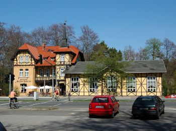
• Weg ist nicht auf örtlich aufgestellten Wanderkarten eingezeichnet, in der Natur jedoch passabel markiert. Die Markie...
![Randonnée A pied - Erfurter Steigerwald: Gelbes Kreuz - Photo](https://media.geolcdn.com/t/350/260/5314cfb4-cb8d-45a6-a5e6-af89f728c013.jpeg&format=jpg&maxdim=2)
![A pied A pied](https://static1.geolcdn.com/sitytour/trail-icons/100.png)
Km
A pied
![](/images/other/stat-length.png)
![](https://static1.geolcdn.com/siteimages/upload/files/1508320355ic_sort_den_pos_24dp.png)
![](https://static1.geolcdn.com/siteimages/upload/files/1508320355ic_sort_den_neg_24dp.png)
![](https://static1.geolcdn.com/siteimages/upload/files/16400158638029165_repeat_loop_refresh_sync_direction_icon.png)
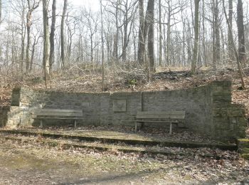
• auf den vor Ort aufgestellten Wanderkarten mit einem blauen Schrägstrich dargestellt, in der Natur mit einem gelben K...
![Randonnée A pied - Wanderweg Luisenpark - Waldhaus Rhoda - Photo](https://media.geolcdn.com/t/350/260/5314cfb4-cb8d-45a6-a5e6-af89f728c013.jpeg&format=jpg&maxdim=2)
![A pied A pied](https://static1.geolcdn.com/sitytour/trail-icons/100.png)
Km
A pied
![](/images/other/stat-length.png)
![](https://static1.geolcdn.com/siteimages/upload/files/1508320355ic_sort_den_pos_24dp.png)
![](https://static1.geolcdn.com/siteimages/upload/files/1508320355ic_sort_den_neg_24dp.png)
![](https://static1.geolcdn.com/siteimages/upload/files/16400158638029165_repeat_loop_refresh_sync_direction_icon.png)
• Symbole: Grünes Quadrat auf weißem Grund
![Randonnée A pied - Erfurter Steigerwald: Grüner Balken - Photo](https://media.geolcdn.com/t/350/260/5314cfb4-cb8d-45a6-a5e6-af89f728c013.jpeg&format=jpg&maxdim=2)
![A pied A pied](https://static1.geolcdn.com/sitytour/trail-icons/100.png)
Km
A pied
![](/images/other/stat-length.png)
![](https://static1.geolcdn.com/siteimages/upload/files/1508320355ic_sort_den_pos_24dp.png)
![](https://static1.geolcdn.com/siteimages/upload/files/1508320355ic_sort_den_neg_24dp.png)
![](https://static1.geolcdn.com/siteimages/upload/files/16400158638029165_repeat_loop_refresh_sync_direction_icon.png)
• Symbole: Grüner Balken auf weißem Grund
![Randonnée A pied - Erfurter Steigerwald: Naturlehrpfad 1 - Photo](https://media.geolcdn.com/t/350/260/5314cfb4-cb8d-45a6-a5e6-af89f728c013.jpeg&format=jpg&maxdim=2)
![A pied A pied](https://static1.geolcdn.com/sitytour/trail-icons/100.png)
Km
A pied
![](/images/other/stat-length.png)
![](https://static1.geolcdn.com/siteimages/upload/files/1508320355ic_sort_den_pos_24dp.png)
![](https://static1.geolcdn.com/siteimages/upload/files/1508320355ic_sort_den_neg_24dp.png)
![](https://static1.geolcdn.com/siteimages/upload/files/16400158638029165_repeat_loop_refresh_sync_direction_icon.png)
• Symbole: Grünes Eichenblatt
![Randonnée A pied - DE-Grünes Dreieck - Photo](https://media.geolcdn.com/t/350/260/64809af9-0959-47e7-97ef-6debb6c77c75.jpeg&format=jpg&maxdim=2)
![A pied A pied](https://static1.geolcdn.com/sitytour/trail-icons/100.png)
Km
A pied
![](/images/other/stat-length.png)
![](https://static1.geolcdn.com/siteimages/upload/files/1508320355ic_sort_den_pos_24dp.png)
![](https://static1.geolcdn.com/siteimages/upload/files/1508320355ic_sort_den_neg_24dp.png)
![](https://static1.geolcdn.com/siteimages/upload/files/16400158638029165_repeat_loop_refresh_sync_direction_icon.png)
• Symbole: Grünes Dreieck auf weißem Grund
![Randonnée A pied - Rundwanderweg](https://media.geolcdn.com/t/350/260/64809af9-0959-47e7-97ef-6debb6c77c75.jpeg&format=jpg&maxdim=2)
![A pied A pied](https://static1.geolcdn.com/sitytour/trail-icons/100.png)
Km
A pied
![](/images/other/stat-length.png)
![](https://static1.geolcdn.com/siteimages/upload/files/1508320355ic_sort_den_pos_24dp.png)
![](https://static1.geolcdn.com/siteimages/upload/files/1508320355ic_sort_den_neg_24dp.png)
![](https://static1.geolcdn.com/siteimages/upload/files/16400158638029165_repeat_loop_refresh_sync_direction_icon.png)
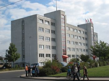
• Teilweise schlecht erkennbare Wegweiser. Symbole: Grüner Punkt auf weißem Grund
![Randonnée A pied - Kleingartenwanderweg - Photo](https://media.geolcdn.com/t/350/260/9c383959-7aff-4e27-9bfd-ba8f113ed5e4.jpeg&format=jpg&maxdim=2)
![A pied A pied](https://static1.geolcdn.com/sitytour/trail-icons/100.png)
Km
A pied
![](/images/other/stat-length.png)
![](https://static1.geolcdn.com/siteimages/upload/files/1508320355ic_sort_den_pos_24dp.png)
![](https://static1.geolcdn.com/siteimages/upload/files/1508320355ic_sort_den_neg_24dp.png)
![](https://static1.geolcdn.com/siteimages/upload/files/16400158638029165_repeat_loop_refresh_sync_direction_icon.png)
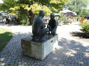
• Randonnée créée par Stadt Erfurt. Symbole: Sonnenblume
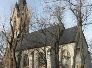
![Randonnée A pied - Erfurter Steigerwald: Naturlehrpfad 2 - Photo](https://media.geolcdn.com/t/350/260/4e9b298b-2c68-4c0c-a5ee-8973238fa0cb.jpeg&format=jpg&maxdim=2)
![A pied A pied](https://static1.geolcdn.com/sitytour/trail-icons/100.png)
Km
A pied
![](/images/other/stat-length.png)
![](https://static1.geolcdn.com/siteimages/upload/files/1508320355ic_sort_den_pos_24dp.png)
![](https://static1.geolcdn.com/siteimages/upload/files/1508320355ic_sort_den_neg_24dp.png)
![](https://static1.geolcdn.com/siteimages/upload/files/16400158638029165_repeat_loop_refresh_sync_direction_icon.png)
• Beim Vorbild nur an wenigen Stellen markiert, dort mancherorts auch abweichend von den Darstellungen in vor Ort aufge...
![Randonnée A pied - Rundwanderweg](https://media.geolcdn.com/t/350/260/64809af9-0959-47e7-97ef-6debb6c77c75.jpeg&format=jpg&maxdim=2)
![A pied A pied](https://static1.geolcdn.com/sitytour/trail-icons/100.png)
Km
A pied
![](/images/other/stat-length.png)
![](https://static1.geolcdn.com/siteimages/upload/files/1508320355ic_sort_den_pos_24dp.png)
![](https://static1.geolcdn.com/siteimages/upload/files/1508320355ic_sort_den_neg_24dp.png)
![](https://static1.geolcdn.com/siteimages/upload/files/16400158638029165_repeat_loop_refresh_sync_direction_icon.png)
• Teilweise schlecht erkennbare Markierungen Symbole: Gelber Strich auf weißem Grund
![Randonnée A pied - Erfurter Steigerwald: Rundwanderweg 5,5 km - Photo](https://media.geolcdn.com/t/350/260/b615b412-7687-43bb-8ee8-5f5191c0dd7b.jpeg&format=jpg&maxdim=2)
![A pied A pied](https://static1.geolcdn.com/sitytour/trail-icons/100.png)
Km
A pied
![](/images/other/stat-length.png)
![](https://static1.geolcdn.com/siteimages/upload/files/1508320355ic_sort_den_pos_24dp.png)
![](https://static1.geolcdn.com/siteimages/upload/files/1508320355ic_sort_den_neg_24dp.png)
![](https://static1.geolcdn.com/siteimages/upload/files/16400158638029165_repeat_loop_refresh_sync_direction_icon.png)
• Symbole: Gelber Punkt auf weißem Grund
![Randonnée A pied - Erfurter Steigerwald: Grüner Schrägstrich - Photo](https://media.geolcdn.com/t/350/260/ext.jpg?maxdim=2&url=https%3A%2F%2Fstatic1.geolcdn.com%2Fsiteimages%2Fupload%2Ffiles%2F1545311037marcheuse_200dpi.jpg)
![A pied A pied](https://static1.geolcdn.com/sitytour/trail-icons/100.png)
Km
A pied
![](/images/other/stat-length.png)
![](https://static1.geolcdn.com/siteimages/upload/files/1508320355ic_sort_den_pos_24dp.png)
![](https://static1.geolcdn.com/siteimages/upload/files/1508320355ic_sort_den_neg_24dp.png)
![](https://static1.geolcdn.com/siteimages/upload/files/16400158638029165_repeat_loop_refresh_sync_direction_icon.png)
• Symbole: Grüner Backslash auf weißem Grund
12 randonnées affichées sur 12
Application GPS de randonnée GRATUITE