


16,1 km | 18,8 km-effort
Kreuzau : découvrez les meilleures randonnées : 5 a pied. Tous ces circuits, parcours, itinéraires et activités en plein air sont disponibles dans nos applications SityTrail pour smartphones et tablettes.
A pied


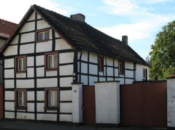
• Randonnée créée par Gemeinde. Symbole: Weißes Schild mit schwarzen Ziffern 22
A pied
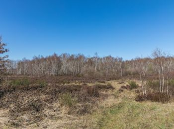
• Randonnée créée par Gemeinde. Symbole: Umlaufender hellblauer Streifen am Holzpfahl
A pied
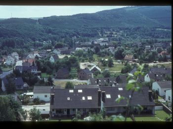
• Randonnée créée par Rureifel-Tourismus.
A pied
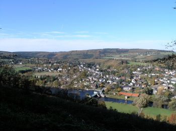
• Randonnée créée par Rureifel-Tourismus.
A pied
5 randonnées affichées sur 5
Application GPS de randonnée GRATUITE
 SityTrail
IGN / Instituts géographiques
SityTrail World
Le monde est à vous