


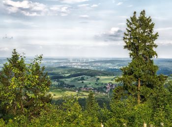
8,1 km | 10 km-effort
Kreis Lippe : découvrez les meilleures randonnées : 119 a pied. Tous ces circuits, parcours, itinéraires et activités en plein air sont disponibles dans nos applications SityTrail pour smartphones et tablettes.
A pied


• Symbole: Redhaired highland cattle looking straight at the viewer, on green background
A pied
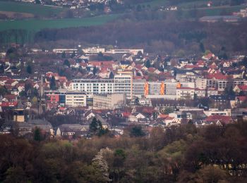
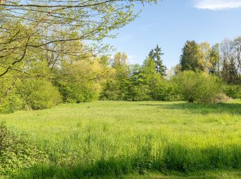
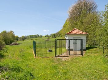
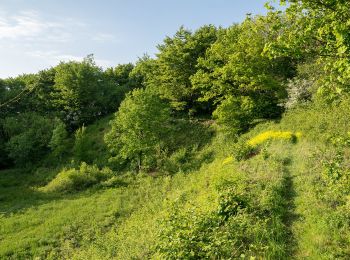
• Hier finden Sie einen Überblick über 10 verschiedenen Rundwanderweg rund um Bad Salzuflen, im Salzetal oder durch die...
A pied
• Hier finden Sie einen Überblick über 10 verschiedenen Rundwanderweg rund um Bad Salzuflen, im Salzetal oder durch die...
A pied
• Hier finden Sie einen Überblick über 10 verschiedenen Rundwanderweg rund um Bad Salzuflen, im Salzetal oder durch die...
A pied
• Randonnée créée par katholische Kirchengemeinde Heilig-Kreuz Horn-Bad Meinberg. Symbole: unbekannt, Schwarzer "hiker...
A pied
• Randonnée créée par katholische Kirchengemeinde Heilig-Kreuz Horn-Bad Meinberg.
A pied
• Hier finden Sie einen Überblick über 10 verschiedenen Rundwanderweg rund um Bad Salzuflen, im Salzetal oder durch die...
A pied
• Hier finden Sie einen Überblick über 10 verschiedenen Rundwanderweg rund um Bad Salzuflen, im Salzetal oder durch die...
A pied
• Hier finden Sie einen Überblick über 10 verschiedenen Rundwanderweg rund um Bad Salzuflen, im Salzetal oder durch die...
A pied
• Symbole: Weißer Text A4 auf schwarzem Grund Site web: http://www.wanderregion-nordlippe.de/de/wanderwege/rundwander...
A pied
• Randonnée créée par Teutoburger Wald-Verein.
A pied
• Randonnée créée par Naturpark Teutoburger Wald Eggegebirge.
A pied
• Symbole: white L on black rectangular background
A pied
• Symbole: Weißer stilisierter Zwerg in weißem Kreis auf schwarzem Grund Site web: http://www.wanderregion-nordlippe....
A pied
• Symbole: Blauer Hase auf weißem Grund Site web: http://www.wanderregion-nordlippe.de/de/wanderwege/rundwanderwege/h...
A pied
• Symbole: Rotes Eichhörnchen auf weißem Grund Site web: http://www.wanderregion-nordlippe.de/de/wanderwege/rundwande...
A pied
• Randonnée créée par Hotel zur Burg Sternberg.
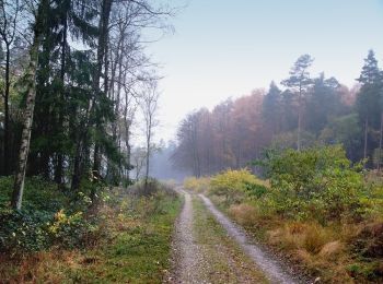
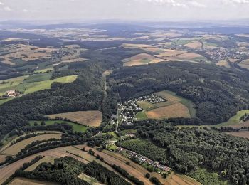
![Randonnée A pied Horn-Bad Meinberg - Rundwanderweg A4 [Feldrom] - Photo](https://media.geolcdn.com/t/350/260/c3e2fda2-4a4b-4515-b251-ad31aeb36002.jpeg&format=jpg&maxdim=2)
A pied
• Symbole: weiße Schrift "A4" auf schwarzen Grund
A pied
• Symbole: weiße Schrift "A2" auf schwarzen Grund
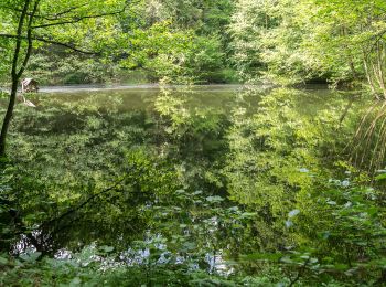
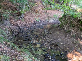
![Randonnée A pied Detmold - Rundwanderweg A5 [Berlebeck] - Photo](https://media.geolcdn.com/t/350/260/09e96dc8-2a72-420e-af43-8a0b6d458613.jpeg&format=jpg&maxdim=2)
A pied
• Randonnée créée par Lippischer Heimatverein.
20 randonnées affichées sur 119
Application GPS de randonnée GRATUITE
 SityTrail
IGN / Instituts géographiques
SityTrail World
Le monde est à vous