![](/images/other/stat-length.png)
- Randonnées
- A pied
- Allemagne
- Rhénanie-du-Nord-Westphalie
- Essen
- Inconnu
- Stadtbezirk IX
Stadtbezirk IX, Inconnu, A pied : Les meilleures randonnées, itinéraires, parcours, balades et promenades
Stadtbezirk IX : découvrez les meilleures randonnées : 18 a pied. Tous ces circuits, parcours, itinéraires et activités en plein air sont disponibles dans nos applications SityTrail pour smartphones et tablettes.
Les meilleurs parcours (18)
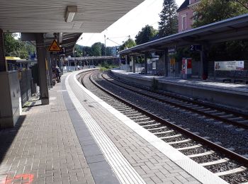
![Randonnée A pied Inconnu - Kettwiger Panoramasteig - Photo](https://media.geolcdn.com/t/350/260/c4c1ff8e-1ed2-4bc5-830a-9183bb44de95.jpeg&format=jpg&maxdim=2)
![A pied A pied](https://static1.geolcdn.com/sitytour/trail-icons/100.png)
Km
A pied
![](/images/other/stat-length.png)
![](https://static1.geolcdn.com/siteimages/upload/files/1508320355ic_sort_den_pos_24dp.png)
![](https://static1.geolcdn.com/siteimages/upload/files/1508320355ic_sort_den_neg_24dp.png)
![](https://static1.geolcdn.com/siteimages/upload/files/16400158638029165_repeat_loop_refresh_sync_direction_icon.png)
• Randonnée créée par Stadt Essen. Symbole: Rote Zickzack Linie, darunter blaue Linie, darunter der Name: Kettwiger Pa...
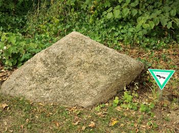
![Randonnée A pied Inconnu - Pilgerweg Heidhausen - Essen - Photo](https://media.geolcdn.com/t/350/260/982c6e32-3d1c-4d42-a67d-562ea32f65b9.jpeg&format=jpg&maxdim=2)
![A pied A pied](https://static1.geolcdn.com/sitytour/trail-icons/100.png)
Km
A pied
![](/images/other/stat-length.png)
![](https://static1.geolcdn.com/siteimages/upload/files/1508320355ic_sort_den_pos_24dp.png)
![](https://static1.geolcdn.com/siteimages/upload/files/1508320355ic_sort_den_neg_24dp.png)
![](https://static1.geolcdn.com/siteimages/upload/files/16400158638029165_repeat_loop_refresh_sync_direction_icon.png)
• Randonnée créée par Bistum Essen. Symbole: weisser Fisch auf pinkem Grund
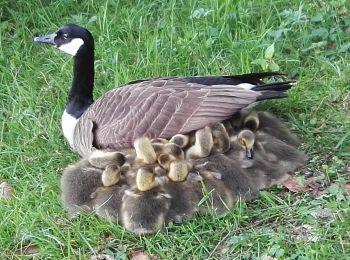
![Randonnée A pied Inconnu - BaldeneySteig - Photo](https://media.geolcdn.com/t/350/260/6b304d79-4029-4f4c-bae2-94841998b36b.jpeg&format=jpg&maxdim=2)
![A pied A pied](https://static1.geolcdn.com/sitytour/trail-icons/100.png)
Km
A pied
![](/images/other/stat-length.png)
![](https://static1.geolcdn.com/siteimages/upload/files/1508320355ic_sort_den_pos_24dp.png)
![](https://static1.geolcdn.com/siteimages/upload/files/1508320355ic_sort_den_neg_24dp.png)
![](https://static1.geolcdn.com/siteimages/upload/files/16400158638029165_repeat_loop_refresh_sync_direction_icon.png)
• Randonnée créée par Projektbüro Grüne Hauptstadt Europas. Symbole: grüne Zickzack Linie, darunter blaue Linie, darun...
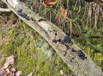
![Randonnée A pied Inconnu - Isenbügel Rundweg A2 - Photo](https://media.geolcdn.com/t/350/260/58b23ba0-f4be-49fb-b2e8-8f0d898b9043.jpeg&format=jpg&maxdim=2)
![A pied A pied](https://static1.geolcdn.com/sitytour/trail-icons/100.png)
Km
A pied
![](/images/other/stat-length.png)
![](https://static1.geolcdn.com/siteimages/upload/files/1508320355ic_sort_den_pos_24dp.png)
![](https://static1.geolcdn.com/siteimages/upload/files/1508320355ic_sort_den_neg_24dp.png)
![](https://static1.geolcdn.com/siteimages/upload/files/16400158638029165_repeat_loop_refresh_sync_direction_icon.png)
• Randonnée créée par Sauerländischer Gebirgsverein.
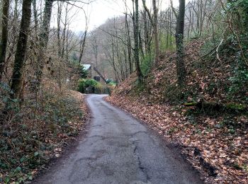
![Randonnée A pied Inconnu - Naturfreundeweg Ruhrtalhaus - Werden - Tönisheide - Photo](https://media.geolcdn.com/t/350/260/8893a24b-e061-4946-8526-b0b57bfb0c41.jpeg&format=jpg&maxdim=2)
![A pied A pied](https://static1.geolcdn.com/sitytour/trail-icons/100.png)
Km
A pied
![](/images/other/stat-length.png)
![](https://static1.geolcdn.com/siteimages/upload/files/1508320355ic_sort_den_pos_24dp.png)
![](https://static1.geolcdn.com/siteimages/upload/files/1508320355ic_sort_den_neg_24dp.png)
![](https://static1.geolcdn.com/siteimages/upload/files/16400158638029165_repeat_loop_refresh_sync_direction_icon.png)
• Randonnée créée par Die Naturfreunde. Symbole: weißer Buchstabe "N" auf schwarzem Grund
![Randonnée A pied Inconnu - Rundwanderweg Heissiwald A2 - Photo](https://media.geolcdn.com/t/350/260/c6a2cb87-ea19-42a9-923c-74ebad52d330.jpeg&format=jpg&maxdim=2)
![A pied A pied](https://static1.geolcdn.com/sitytour/trail-icons/100.png)
Km
A pied
![](/images/other/stat-length.png)
![](https://static1.geolcdn.com/siteimages/upload/files/1508320355ic_sort_den_pos_24dp.png)
![](https://static1.geolcdn.com/siteimages/upload/files/1508320355ic_sort_den_neg_24dp.png)
![](https://static1.geolcdn.com/siteimages/upload/files/16400158638029165_repeat_loop_refresh_sync_direction_icon.png)
• Randonnée créée par Sauerländischer Gebirgsverein. Symbole: weißer Schriftzug A2 auf schwarzem Grund
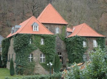
![Randonnée A pied Inconnu - Rundweg A3 (Baldeney) - Photo](https://media.geolcdn.com/t/350/260/7b945514-5838-4261-a56f-73600c65b4bb.jpeg&format=jpg&maxdim=2)
![A pied A pied](https://static1.geolcdn.com/sitytour/trail-icons/100.png)
Km
A pied
![](/images/other/stat-length.png)
![](https://static1.geolcdn.com/siteimages/upload/files/1508320355ic_sort_den_pos_24dp.png)
![](https://static1.geolcdn.com/siteimages/upload/files/1508320355ic_sort_den_neg_24dp.png)
![](https://static1.geolcdn.com/siteimages/upload/files/16400158638029165_repeat_loop_refresh_sync_direction_icon.png)
• Randonnée créée par Sauerländischer Gebirgsverein. Symbole: weißer Schriftzug A3 auf schwarzem Grund
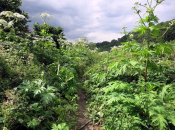
![Randonnée A pied Inconnu - Dreiecksweg Kettwig - Mülheim - Photo](https://media.geolcdn.com/t/350/260/882e315b-2a5a-42a9-8c87-cfa647c78e94.jpeg&format=jpg&maxdim=2)
![A pied A pied](https://static1.geolcdn.com/sitytour/trail-icons/100.png)
Km
A pied
![](/images/other/stat-length.png)
![](https://static1.geolcdn.com/siteimages/upload/files/1508320355ic_sort_den_pos_24dp.png)
![](https://static1.geolcdn.com/siteimages/upload/files/1508320355ic_sort_den_neg_24dp.png)
![](https://static1.geolcdn.com/siteimages/upload/files/16400158638029165_repeat_loop_refresh_sync_direction_icon.png)
• Randonnée créée par Sauerländischer Gebirgsverein. Symbole: weißes ausgefülltes Dreieck auf schwarzem Grund
![Randonnée A pied Inconnu - Rundwanderweg Heissiwald A3 - Photo](https://media.geolcdn.com/t/350/260/c6a2cb87-ea19-42a9-923c-74ebad52d330.jpeg&format=jpg&maxdim=2)
![A pied A pied](https://static1.geolcdn.com/sitytour/trail-icons/100.png)
Km
A pied
![](/images/other/stat-length.png)
![](https://static1.geolcdn.com/siteimages/upload/files/1508320355ic_sort_den_pos_24dp.png)
![](https://static1.geolcdn.com/siteimages/upload/files/1508320355ic_sort_den_neg_24dp.png)
![](https://static1.geolcdn.com/siteimages/upload/files/16400158638029165_repeat_loop_refresh_sync_direction_icon.png)
• Randonnée créée par Sauerländischer Gebirgsverein. Symbole: Weiß A3 auf schwarzem Grund
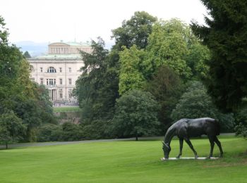
![Randonnée A pied Inconnu - Rundwanderweg Kruppwald A1 - Photo](https://media.geolcdn.com/t/350/260/e661952d-36ee-486c-900a-be0fa3c30401.jpeg&format=jpg&maxdim=2)
![A pied A pied](https://static1.geolcdn.com/sitytour/trail-icons/100.png)
Km
A pied
![](/images/other/stat-length.png)
![](https://static1.geolcdn.com/siteimages/upload/files/1508320355ic_sort_den_pos_24dp.png)
![](https://static1.geolcdn.com/siteimages/upload/files/1508320355ic_sort_den_neg_24dp.png)
![](https://static1.geolcdn.com/siteimages/upload/files/16400158638029165_repeat_loop_refresh_sync_direction_icon.png)
• Randonnée créée par Sauerländischer Gebirgsverein. Symbole: weißer Schriftzug A1 auf schwarzem Grund
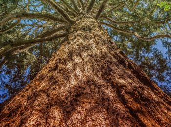
![Randonnée A pied Inconnu - Rundwanderweg Kruppwald A2 - Photo](https://media.geolcdn.com/t/350/260/5f7b950f-f684-4fe6-a6bb-7eafe7a101b4.jpeg&format=jpg&maxdim=2)
![A pied A pied](https://static1.geolcdn.com/sitytour/trail-icons/100.png)
Km
A pied
![](/images/other/stat-length.png)
![](https://static1.geolcdn.com/siteimages/upload/files/1508320355ic_sort_den_pos_24dp.png)
![](https://static1.geolcdn.com/siteimages/upload/files/1508320355ic_sort_den_neg_24dp.png)
![](https://static1.geolcdn.com/siteimages/upload/files/16400158638029165_repeat_loop_refresh_sync_direction_icon.png)
• Randonnée créée par Sauerländischer Gebirgsverein. Symbole: weißer Schriftzug A2 auf schwarzem Grund
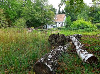
![Randonnée A pied Inconnu - Alfredusbad-Kupferdreh - Photo](https://media.geolcdn.com/t/350/260/e7826112-fb91-4145-ad1c-3343c39a4b43.jpeg&format=jpg&maxdim=2)
![A pied A pied](https://static1.geolcdn.com/sitytour/trail-icons/100.png)
Km
A pied
![](/images/other/stat-length.png)
![](https://static1.geolcdn.com/siteimages/upload/files/1508320355ic_sort_den_pos_24dp.png)
![](https://static1.geolcdn.com/siteimages/upload/files/1508320355ic_sort_den_neg_24dp.png)
![](https://static1.geolcdn.com/siteimages/upload/files/16400158638029165_repeat_loop_refresh_sync_direction_icon.png)
• Randonnée créée par Sauerländischer Gebirgsverein. Symbole: weißes umgekehrtes T auf schwarzem Grund
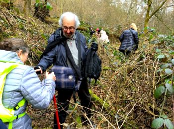
![Randonnée A pied Inconnu - Zugangsweg zum Ruhrtal - Photo](https://media.geolcdn.com/t/350/260/e95b484a-e151-433e-930d-79f7c33233bb.jpeg&format=jpg&maxdim=2)
![A pied A pied](https://static1.geolcdn.com/sitytour/trail-icons/100.png)
Km
A pied
![](/images/other/stat-length.png)
![](https://static1.geolcdn.com/siteimages/upload/files/1508320355ic_sort_den_pos_24dp.png)
![](https://static1.geolcdn.com/siteimages/upload/files/1508320355ic_sort_den_neg_24dp.png)
![](https://static1.geolcdn.com/siteimages/upload/files/16400158638029165_repeat_loop_refresh_sync_direction_icon.png)
• Randonnée créée par Sauerländischer Gebirgsverein. Symbole: >=offener weißer Pfeil, Spitze nach rechts zeigend
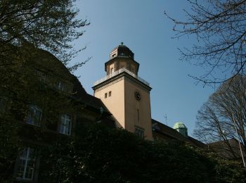
![Randonnée A pied Inconnu - Anna-Linder-Weg - Photo](https://media.geolcdn.com/t/350/260/51837ec0-9eeb-48fb-a627-c4ecc8734710.jpeg&format=jpg&maxdim=2)
![A pied A pied](https://static1.geolcdn.com/sitytour/trail-icons/100.png)
Km
A pied
![](/images/other/stat-length.png)
![](https://static1.geolcdn.com/siteimages/upload/files/1508320355ic_sort_den_pos_24dp.png)
![](https://static1.geolcdn.com/siteimages/upload/files/1508320355ic_sort_den_neg_24dp.png)
![](https://static1.geolcdn.com/siteimages/upload/files/16400158638029165_repeat_loop_refresh_sync_direction_icon.png)
• Randonnée créée par Sauerländischer Gebirgsverein. Symbole: Weißes verschlungenes AL auf schwarzem Grund
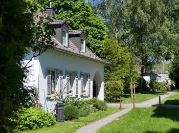
![Randonnée A pied Inconnu - Wanderweg Kettwig A4 - Photo](https://media.geolcdn.com/t/350/260/e60143dd-6d0c-4b08-90dc-3a4de78793b2.jpeg&format=jpg&maxdim=2)
![A pied A pied](https://static1.geolcdn.com/sitytour/trail-icons/100.png)
Km
A pied
![](/images/other/stat-length.png)
![](https://static1.geolcdn.com/siteimages/upload/files/1508320355ic_sort_den_pos_24dp.png)
![](https://static1.geolcdn.com/siteimages/upload/files/1508320355ic_sort_den_neg_24dp.png)
![](https://static1.geolcdn.com/siteimages/upload/files/16400158638029165_repeat_loop_refresh_sync_direction_icon.png)
• Randonnée créée par Sauerländischer Gebirgsverein. Symbole: weißer Schriftzug A4 auf schwarzem Grund
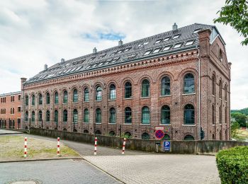
![Randonnée A pied Inconnu - Wanderweg Kettwig A1 - Photo](https://media.geolcdn.com/t/350/260/ccc6cd11-1def-4606-9bfa-cad20a9e5fe5.jpeg&format=jpg&maxdim=2)
![A pied A pied](https://static1.geolcdn.com/sitytour/trail-icons/100.png)
Km
A pied
![](/images/other/stat-length.png)
![](https://static1.geolcdn.com/siteimages/upload/files/1508320355ic_sort_den_pos_24dp.png)
![](https://static1.geolcdn.com/siteimages/upload/files/1508320355ic_sort_den_neg_24dp.png)
![](https://static1.geolcdn.com/siteimages/upload/files/16400158638029165_repeat_loop_refresh_sync_direction_icon.png)
• Symbole: Weiß A1 auf schwarzem Grund
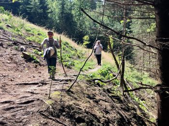
![Randonnée A pied Inconnu - Wanderweg Kettwig A3 - Photo](https://media.geolcdn.com/t/350/260/286b4e26-14c1-419b-99b0-e743704e013c.jpeg&format=jpg&maxdim=2)
![A pied A pied](https://static1.geolcdn.com/sitytour/trail-icons/100.png)
Km
A pied
![](/images/other/stat-length.png)
![](https://static1.geolcdn.com/siteimages/upload/files/1508320355ic_sort_den_pos_24dp.png)
![](https://static1.geolcdn.com/siteimages/upload/files/1508320355ic_sort_den_neg_24dp.png)
![](https://static1.geolcdn.com/siteimages/upload/files/16400158638029165_repeat_loop_refresh_sync_direction_icon.png)
• Symbole: Weiß A3 auf schwarzem Grund
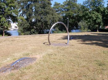
![Randonnée A pied Inconnu - Wanderweg Kettwig A2 - Photo](https://media.geolcdn.com/t/350/260/849a761a-0091-4bf7-a0cb-758a6f48db89.jpeg&format=jpg&maxdim=2)
![A pied A pied](https://static1.geolcdn.com/sitytour/trail-icons/100.png)
Km
A pied
![](/images/other/stat-length.png)
![](https://static1.geolcdn.com/siteimages/upload/files/1508320355ic_sort_den_pos_24dp.png)
![](https://static1.geolcdn.com/siteimages/upload/files/1508320355ic_sort_den_neg_24dp.png)
![](https://static1.geolcdn.com/siteimages/upload/files/16400158638029165_repeat_loop_refresh_sync_direction_icon.png)
• Randonnée créée par Sauerländischer Gebirgsverein. Symbole: weißer Schriftzug A2 auf schwarzem Grund
18 randonnées affichées sur 18
Application GPS de randonnée GRATUITE