![](/images/other/stat-length.png)
- Randonnées
- A pied
- Allemagne
- Rhénanie-du-Nord-Westphalie
- Kreis Unna
Kreis Unna, Rhénanie-du-Nord-Westphalie, A pied : Les meilleures randonnées, itinéraires, parcours, balades et promenades
Kreis Unna : découvrez les meilleures randonnées : 38 a pied. Tous ces circuits, parcours, itinéraires et activités en plein air sont disponibles dans nos applications SityTrail pour smartphones et tablettes.
Les meilleurs parcours (38)
![Randonnée A pied Schwerte - NordicAktivPark Schwerter Wald schwarze Südstrecke - Photo](https://media.geolcdn.com/t/350/260/a8287a5f-bc36-409b-8efc-eccc305eeab0.jpeg&format=jpg&maxdim=2)
![A pied A pied](https://static1.geolcdn.com/sitytour/trail-icons/100.png)
Km
A pied
![](/images/other/stat-length.png)
![](https://static1.geolcdn.com/siteimages/upload/files/1508320355ic_sort_den_pos_24dp.png)
![](https://static1.geolcdn.com/siteimages/upload/files/1508320355ic_sort_den_neg_24dp.png)
![](https://static1.geolcdn.com/siteimages/upload/files/16400158638029165_repeat_loop_refresh_sync_direction_icon.png)
• Symbole: schwarzer Pfeil/Punkt unter grünem N auf weißem Grund
![Randonnée A pied Schwerte - NordicAktivPark Schwerter Wald rote Südstrecke - Photo](https://media.geolcdn.com/t/350/260/a8287a5f-bc36-409b-8efc-eccc305eeab0.jpeg&format=jpg&maxdim=2)
![A pied A pied](https://static1.geolcdn.com/sitytour/trail-icons/100.png)
Km
A pied
![](/images/other/stat-length.png)
![](https://static1.geolcdn.com/siteimages/upload/files/1508320355ic_sort_den_pos_24dp.png)
![](https://static1.geolcdn.com/siteimages/upload/files/1508320355ic_sort_den_neg_24dp.png)
![](https://static1.geolcdn.com/siteimages/upload/files/16400158638029165_repeat_loop_refresh_sync_direction_icon.png)
• Symbole: roter Pfeil/Punkt unter grünem N auf weißem Grund
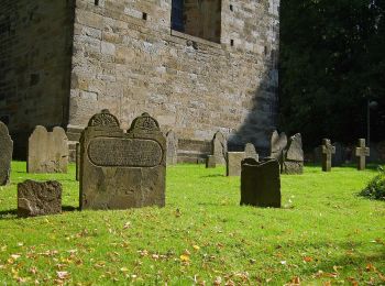
![Randonnée A pied Schwerte - Schwerte Bf - Hohensyburg - Photo](https://media.geolcdn.com/t/350/260/5f1f8fb9-4492-4816-a6a6-b31bfc037ad3.jpeg&format=jpg&maxdim=2)
![A pied A pied](https://static1.geolcdn.com/sitytour/trail-icons/100.png)
Km
A pied
![](/images/other/stat-length.png)
![](https://static1.geolcdn.com/siteimages/upload/files/1508320355ic_sort_den_pos_24dp.png)
![](https://static1.geolcdn.com/siteimages/upload/files/1508320355ic_sort_den_neg_24dp.png)
![](https://static1.geolcdn.com/siteimages/upload/files/16400158638029165_repeat_loop_refresh_sync_direction_icon.png)
• Randonnée créée par Sauerländischer Gebirgsverein.
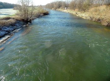
![Randonnée A pied Schwerte - Schwerte Rathaus - Letmathe Humpfertturm - Photo](https://media.geolcdn.com/t/350/260/b7c19386-aae7-4247-823e-0b336be6fa5d.jpeg&format=jpg&maxdim=2)
![A pied A pied](https://static1.geolcdn.com/sitytour/trail-icons/100.png)
Km
A pied
![](/images/other/stat-length.png)
![](https://static1.geolcdn.com/siteimages/upload/files/1508320355ic_sort_den_pos_24dp.png)
![](https://static1.geolcdn.com/siteimages/upload/files/1508320355ic_sort_den_neg_24dp.png)
![](https://static1.geolcdn.com/siteimages/upload/files/16400158638029165_repeat_loop_refresh_sync_direction_icon.png)
• Randonnée créée par Sauerländischer Gebirgsverein. Symbole: Balken
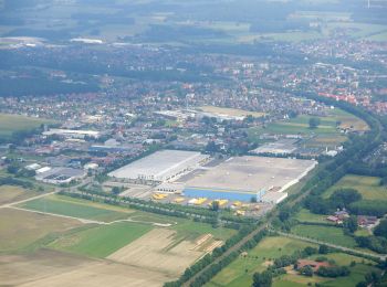
![Randonnée A pied Werne - Langern Rundweg A6 - Photo](https://media.geolcdn.com/t/350/260/9b5ddfb3-78af-42d0-bb9c-f6e9edb6bc97.jpeg&format=jpg&maxdim=2)
![A pied A pied](https://static1.geolcdn.com/sitytour/trail-icons/100.png)
Km
A pied
![](/images/other/stat-length.png)
![](https://static1.geolcdn.com/siteimages/upload/files/1508320355ic_sort_den_pos_24dp.png)
![](https://static1.geolcdn.com/siteimages/upload/files/1508320355ic_sort_den_neg_24dp.png)
![](https://static1.geolcdn.com/siteimages/upload/files/16400158638029165_repeat_loop_refresh_sync_direction_icon.png)
• Randonnée créée par Sauerländische Gebirgsverein. Symbole: A6
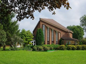
![Randonnée A pied Unna - Wanderweg Volldreieck Unna - Lünern - Königsborn - Photo](https://media.geolcdn.com/t/350/260/ab1551e7-e5bb-4380-9da3-16508328d305.jpeg&format=jpg&maxdim=2)
![A pied A pied](https://static1.geolcdn.com/sitytour/trail-icons/100.png)
Km
A pied
![](/images/other/stat-length.png)
![](https://static1.geolcdn.com/siteimages/upload/files/1508320355ic_sort_den_pos_24dp.png)
![](https://static1.geolcdn.com/siteimages/upload/files/1508320355ic_sort_den_neg_24dp.png)
![](https://static1.geolcdn.com/siteimages/upload/files/16400158638029165_repeat_loop_refresh_sync_direction_icon.png)
• Randonnée créée par SGV. Symbole: Volldreieck
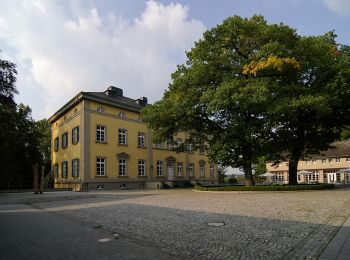
![Randonnée A pied Schwerte - Vollquadrat Schwerte - Hennen - Photo](https://media.geolcdn.com/t/350/260/f960fec6-c12a-405c-a196-bb3c464a610b.jpeg&format=jpg&maxdim=2)
![A pied A pied](https://static1.geolcdn.com/sitytour/trail-icons/100.png)
Km
A pied
![](/images/other/stat-length.png)
![](https://static1.geolcdn.com/siteimages/upload/files/1508320355ic_sort_den_pos_24dp.png)
![](https://static1.geolcdn.com/siteimages/upload/files/1508320355ic_sort_den_neg_24dp.png)
![](https://static1.geolcdn.com/siteimages/upload/files/16400158638029165_repeat_loop_refresh_sync_direction_icon.png)
• Randonnée créée par SGV. Symbole: Vollquadrat
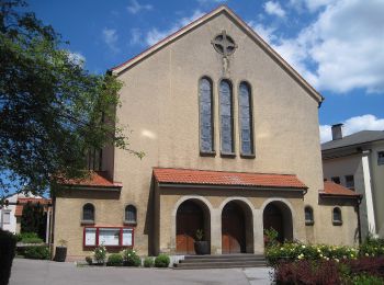
![Randonnée A pied Schwerte - Schwerte Bf - Iserlohn Bf - Photo](https://media.geolcdn.com/t/350/260/d2ec0da4-3d99-4ec7-8585-8ab3ad22a26b.jpeg&format=jpg&maxdim=2)
![A pied A pied](https://static1.geolcdn.com/sitytour/trail-icons/100.png)
Km
A pied
![](/images/other/stat-length.png)
![](https://static1.geolcdn.com/siteimages/upload/files/1508320355ic_sort_den_pos_24dp.png)
![](https://static1.geolcdn.com/siteimages/upload/files/1508320355ic_sort_den_neg_24dp.png)
![](https://static1.geolcdn.com/siteimages/upload/files/16400158638029165_repeat_loop_refresh_sync_direction_icon.png)
• Randonnée créée par SGV. von Schwerte Bahnhof bis Ruhrtalmuseum nur spärlich markiert Symbole: Volldreieck
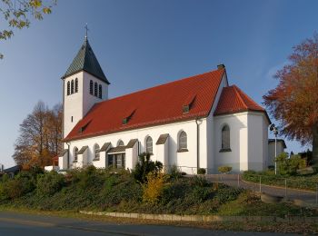
![Randonnée A pied Unna - (F) Mauritiusweg-Fröndenberg - Photo](https://media.geolcdn.com/t/350/260/434c50b4-08c0-4430-aa29-39c2e8fce73f.jpeg&format=jpg&maxdim=2)
![A pied A pied](https://static1.geolcdn.com/sitytour/trail-icons/100.png)
Km
A pied
![](/images/other/stat-length.png)
![](https://static1.geolcdn.com/siteimages/upload/files/1508320355ic_sort_den_pos_24dp.png)
![](https://static1.geolcdn.com/siteimages/upload/files/1508320355ic_sort_den_neg_24dp.png)
![](https://static1.geolcdn.com/siteimages/upload/files/16400158638029165_repeat_loop_refresh_sync_direction_icon.png)
• Symbole: weißes F im Kreis auf schwarzem Grund
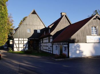
![Randonnée A pied Unna - Wanderweg O Unna - Photo](https://media.geolcdn.com/t/350/260/c728094f-ac8f-42b5-b4b6-48e9c557a1b1.jpeg&format=jpg&maxdim=2)
![A pied A pied](https://static1.geolcdn.com/sitytour/trail-icons/100.png)
Km
A pied
![](/images/other/stat-length.png)
![](https://static1.geolcdn.com/siteimages/upload/files/1508320355ic_sort_den_pos_24dp.png)
![](https://static1.geolcdn.com/siteimages/upload/files/1508320355ic_sort_den_neg_24dp.png)
![](https://static1.geolcdn.com/siteimages/upload/files/16400158638029165_repeat_loop_refresh_sync_direction_icon.png)
• Randonnée créée par SGV. Symbole: O
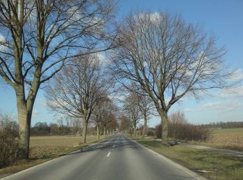
![Randonnée A pied Kamen - Wanderweg O Kamen - Photo](https://media.geolcdn.com/t/350/260/7084bf6d-75ca-4047-ac84-27bb624bb4d7.jpeg&format=jpg&maxdim=2)
![A pied A pied](https://static1.geolcdn.com/sitytour/trail-icons/100.png)
Km
A pied
![](/images/other/stat-length.png)
![](https://static1.geolcdn.com/siteimages/upload/files/1508320355ic_sort_den_pos_24dp.png)
![](https://static1.geolcdn.com/siteimages/upload/files/1508320355ic_sort_den_neg_24dp.png)
![](https://static1.geolcdn.com/siteimages/upload/files/16400158638029165_repeat_loop_refresh_sync_direction_icon.png)
• Randonnée créée par SGV. Symbole: O
![Randonnée A pied Kamen - Selbachpark Rundweg A1 - Photo](https://media.geolcdn.com/t/350/260/3dad5ebb-33b1-4b87-b7e0-c7d6494d8e97.jpeg&format=jpg&maxdim=2)
![A pied A pied](https://static1.geolcdn.com/sitytour/trail-icons/100.png)
Km
A pied
![](/images/other/stat-length.png)
![](https://static1.geolcdn.com/siteimages/upload/files/1508320355ic_sort_den_pos_24dp.png)
![](https://static1.geolcdn.com/siteimages/upload/files/1508320355ic_sort_den_neg_24dp.png)
![](https://static1.geolcdn.com/siteimages/upload/files/16400158638029165_repeat_loop_refresh_sync_direction_icon.png)
• Randonnée créée par SGV. Symbole: A1
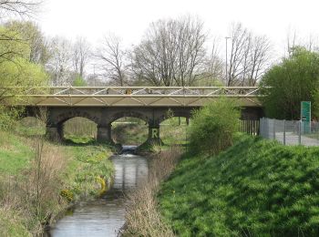
![Randonnée A pied Kamen - Wanderweg 4 Kamen - Photo](https://media.geolcdn.com/t/350/260/2f0d6420-6ae9-4633-9e8e-99811f4c2671.jpeg&format=jpg&maxdim=2)
![A pied A pied](https://static1.geolcdn.com/sitytour/trail-icons/100.png)
Km
A pied
![](/images/other/stat-length.png)
![](https://static1.geolcdn.com/siteimages/upload/files/1508320355ic_sort_den_pos_24dp.png)
![](https://static1.geolcdn.com/siteimages/upload/files/1508320355ic_sort_den_neg_24dp.png)
![](https://static1.geolcdn.com/siteimages/upload/files/16400158638029165_repeat_loop_refresh_sync_direction_icon.png)
• Randonnée créée par SGV. Symbole: 4
![Randonnée A pied Lünen - (L) Lüner Rundweg - Photo](https://media.geolcdn.com/t/350/260/072313b3-9c0d-40f7-bc63-7e2f6da8d833.jpeg&format=jpg&maxdim=2)
![A pied A pied](https://static1.geolcdn.com/sitytour/trail-icons/100.png)
Km
A pied
![](/images/other/stat-length.png)
![](https://static1.geolcdn.com/siteimages/upload/files/1508320355ic_sort_den_pos_24dp.png)
![](https://static1.geolcdn.com/siteimages/upload/files/1508320355ic_sort_den_neg_24dp.png)
![](https://static1.geolcdn.com/siteimages/upload/files/16400158638029165_repeat_loop_refresh_sync_direction_icon.png)
• Randonnée créée par Sauerländischer Gebirgsverein.
![Randonnée A pied Lünen - Doppelbalken Grävingholz - Cappenberg - Photo](https://media.geolcdn.com/t/350/260/62a7b582-7ca6-4701-95d7-d478bab0ca9a.jpeg&format=jpg&maxdim=2)
![A pied A pied](https://static1.geolcdn.com/sitytour/trail-icons/100.png)
Km
A pied
![](/images/other/stat-length.png)
![](https://static1.geolcdn.com/siteimages/upload/files/1508320355ic_sort_den_pos_24dp.png)
![](https://static1.geolcdn.com/siteimages/upload/files/1508320355ic_sort_den_neg_24dp.png)
![](https://static1.geolcdn.com/siteimages/upload/files/16400158638029165_repeat_loop_refresh_sync_direction_icon.png)
• Randonnée créée par Sauerländischer Gebirgsverein.
![Randonnée A pied Selm - Netteberge Rundweg A2 - Photo](https://media.geolcdn.com/t/350/260/92834f09-ee07-4e01-8c9f-8553eaded406.jpeg&format=jpg&maxdim=2)
![A pied A pied](https://static1.geolcdn.com/sitytour/trail-icons/100.png)
Km
A pied
![](/images/other/stat-length.png)
![](https://static1.geolcdn.com/siteimages/upload/files/1508320355ic_sort_den_pos_24dp.png)
![](https://static1.geolcdn.com/siteimages/upload/files/1508320355ic_sort_den_neg_24dp.png)
![](https://static1.geolcdn.com/siteimages/upload/files/16400158638029165_repeat_loop_refresh_sync_direction_icon.png)
• Randonnée créée par Sauerländische Gebirgsverein. Symbole: A2
![Randonnée A pied Selm - Cappenberg Rundweg T - Photo](https://media.geolcdn.com/t/350/260/434d2746-5e4e-4ee8-a17b-a96179f4d31b.jpeg&format=jpg&maxdim=2)
![A pied A pied](https://static1.geolcdn.com/sitytour/trail-icons/100.png)
Km
A pied
![](/images/other/stat-length.png)
![](https://static1.geolcdn.com/siteimages/upload/files/1508320355ic_sort_den_pos_24dp.png)
![](https://static1.geolcdn.com/siteimages/upload/files/1508320355ic_sort_den_neg_24dp.png)
![](https://static1.geolcdn.com/siteimages/upload/files/16400158638029165_repeat_loop_refresh_sync_direction_icon.png)
• Randonnée créée par Sauerländische Gebirgsverein. Symbole: T
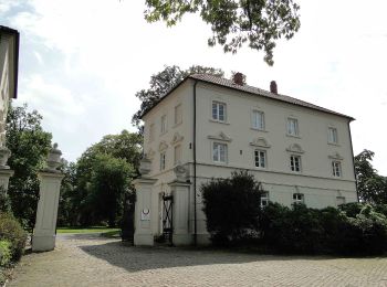
![Randonnée A pied Werne - Cappenberg Rundweg A4 - Photo](https://media.geolcdn.com/t/350/260/eea9648e-ba77-4c8c-a578-52a7a820af33.jpeg&format=jpg&maxdim=2)
![A pied A pied](https://static1.geolcdn.com/sitytour/trail-icons/100.png)
Km
A pied
![](/images/other/stat-length.png)
![](https://static1.geolcdn.com/siteimages/upload/files/1508320355ic_sort_den_pos_24dp.png)
![](https://static1.geolcdn.com/siteimages/upload/files/1508320355ic_sort_den_neg_24dp.png)
![](https://static1.geolcdn.com/siteimages/upload/files/16400158638029165_repeat_loop_refresh_sync_direction_icon.png)
• Randonnée créée par Sauerländische Gebirgsverein. Symbole: A4
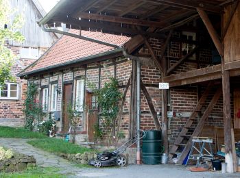
![Randonnée A pied Selm - Hüttenweg Lünen - Selm-Beifang - Photo](https://media.geolcdn.com/t/350/260/246e9fdc-530b-4164-acd9-cf4f7e8cd9b8.jpeg&format=jpg&maxdim=2)
![A pied A pied](https://static1.geolcdn.com/sitytour/trail-icons/100.png)
Km
A pied
![](/images/other/stat-length.png)
![](https://static1.geolcdn.com/siteimages/upload/files/1508320355ic_sort_den_pos_24dp.png)
![](https://static1.geolcdn.com/siteimages/upload/files/1508320355ic_sort_den_neg_24dp.png)
![](https://static1.geolcdn.com/siteimages/upload/files/16400158638029165_repeat_loop_refresh_sync_direction_icon.png)
• Randonnée créée par Sauerländische Gebirgsverein. Symbole: H
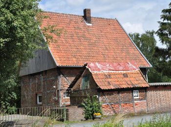
![Randonnée A pied Selm - Cappenberg Rundweg A3 - Photo](https://media.geolcdn.com/t/350/260/8db6ef50-0d99-464e-96ec-511522e41bce.jpeg&format=jpg&maxdim=2)
![A pied A pied](https://static1.geolcdn.com/sitytour/trail-icons/100.png)
Km
A pied
![](/images/other/stat-length.png)
![](https://static1.geolcdn.com/siteimages/upload/files/1508320355ic_sort_den_pos_24dp.png)
![](https://static1.geolcdn.com/siteimages/upload/files/1508320355ic_sort_den_neg_24dp.png)
![](https://static1.geolcdn.com/siteimages/upload/files/16400158638029165_repeat_loop_refresh_sync_direction_icon.png)
• Randonnée créée par Sauerländische Gebirgsverein. Symbole: A3
20 randonnées affichées sur 38
Application GPS de randonnée GRATUITE