


6,1 km | 6,4 km-effort
Schleswig-Flensburg : découvrez les meilleures randonnées : 68 a pied. Tous ces circuits, parcours, itinéraires et activités en plein air sont disponibles dans nos applications SityTrail pour smartphones et tablettes.
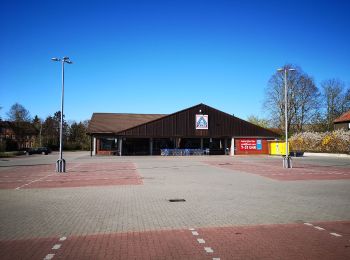
A pied


• Randonnée créée par Naturfreunde Harrislee.
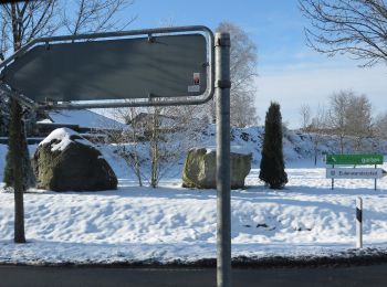
A pied
• Randonnée créée par Amt Gelting.
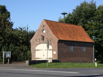
A pied
• Randonnée créée par Wanderfreunde Harrislee.
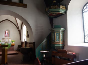
A pied
• Randonnée créée par Naturfreunde Harrislee.
A pied
• Randonnée créée par Volkssportverein Flensburg von 1969 e.V..
A pied
• Randonnée créée par Volkssportverein Flensburg von 1969 e.V..
A pied
• Randonnée créée par TSV Doppeleiche Jagel e.V..
A pied
• Randonnée créée par TSV Doppeleiche Jagel e.V..
A pied
• Randonnée créée par Gemeinde Tarp.
A pied
• Randonnée créée par Gemeinde Tarp.
A pied
• Randonnée créée par Gemeinde Tarp.
A pied
• Randonnée créée par AWO-Wanderfreunde Süderbrarup.
A pied
• Randonnée créée par AWO-Wanderfreunde Süderbrarup.
A pied
• Randonnée créée par IVV Tarp.
A pied
• Randonnée créée par IVV Tarp.

A pied
• Randonnée créée par Wanderfreunde Lindewitt e.V..
A pied
• Randonnée créée par Wanderfreunde Lindewitt e.V..
A pied
• Randonnée créée par Gemeinde Tarp.
A pied
• Randonnée créée par Gemeinde Idstedt.
A pied
• Symbole: ⌘
20 randonnées affichées sur 68
Application GPS de randonnée GRATUITE
 SityTrail
IGN / Instituts géographiques
SityTrail World
Le monde est à vous