![](/images/other/stat-length.png)
- Randonnées
- A pied
- Allemagne
- Brandebourg
- Uckermark
- Angermünde
Angermünde, Uckermark, A pied : Les meilleures randonnées, itinéraires, parcours, balades et promenades
Angermünde : découvrez les meilleures randonnées : 4 a pied. Tous ces circuits, parcours, itinéraires et activités en plein air sont disponibles dans nos applications SityTrail pour smartphones et tablettes.
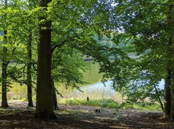
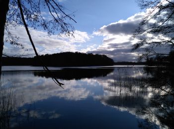
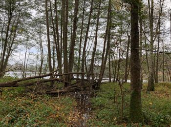
Les meilleurs parcours (4)
![Randonnée A pied Angermünde - Heidenweg - Photo](https://media.geolcdn.com/t/350/260/c07d590a-9ec4-4bae-b1d1-6700497a82cf.jpeg&format=jpg&maxdim=2)
![A pied A pied](https://static1.geolcdn.com/sitytour/trail-icons/100.png)
Km
A pied
![](/images/other/stat-length.png)
![](https://static1.geolcdn.com/siteimages/upload/files/1508320355ic_sort_den_pos_24dp.png)
![](https://static1.geolcdn.com/siteimages/upload/files/1508320355ic_sort_den_neg_24dp.png)
![](https://static1.geolcdn.com/siteimages/upload/files/16400158638029165_repeat_loop_refresh_sync_direction_icon.png)
• Symbole: yellow:white:yellow_dot
![Randonnée A pied Angermünde - Oranges Buchenblatt - Photo](https://media.geolcdn.com/t/350/260/c9948269-3170-455d-a42d-199486741f91.jpeg&format=jpg&maxdim=2)
![A pied A pied](https://static1.geolcdn.com/sitytour/trail-icons/100.png)
Km
A pied
![](/images/other/stat-length.png)
![](https://static1.geolcdn.com/siteimages/upload/files/1508320355ic_sort_den_pos_24dp.png)
![](https://static1.geolcdn.com/siteimages/upload/files/1508320355ic_sort_den_neg_24dp.png)
![](https://static1.geolcdn.com/siteimages/upload/files/16400158638029165_repeat_loop_refresh_sync_direction_icon.png)
• Symbole: orange:beechleave
![Randonnée A pied Angermünde - Uckermärker Landrunde - Photo](https://media.geolcdn.com/t/350/260/adb3f040-5676-442d-b7d5-a16bb320faae.jpeg&format=jpg&maxdim=2)
![A pied A pied](https://static1.geolcdn.com/sitytour/trail-icons/100.png)
Km
A pied
![](/images/other/stat-length.png)
![](https://static1.geolcdn.com/siteimages/upload/files/1508320355ic_sort_den_pos_24dp.png)
![](https://static1.geolcdn.com/siteimages/upload/files/1508320355ic_sort_den_neg_24dp.png)
![](https://static1.geolcdn.com/siteimages/upload/files/16400158638029165_repeat_loop_refresh_sync_direction_icon.png)
• Randonnée créée par tmu Tourismus Marketing Uckermark GmbH. Symbole: roter Punkt auf weißem Grund
![Randonnée A pied Angermünde - Wolletzseerundweg - Photo](https://media.geolcdn.com/t/350/260/9682ab28-9992-4c83-90dc-78d36ca45c9c.jpeg&format=jpg&maxdim=2)
![A pied A pied](https://static1.geolcdn.com/sitytour/trail-icons/100.png)
Km
A pied
![](/images/other/stat-length.png)
![](https://static1.geolcdn.com/siteimages/upload/files/1508320355ic_sort_den_pos_24dp.png)
![](https://static1.geolcdn.com/siteimages/upload/files/1508320355ic_sort_den_neg_24dp.png)
![](https://static1.geolcdn.com/siteimages/upload/files/16400158638029165_repeat_loop_refresh_sync_direction_icon.png)
• Randonnée créée par tmu Tourismus Marketing Uckermark GmbH. Symbole: Green dot on white ground
4 randonnées affichées sur 4
Application GPS de randonnée GRATUITE