![](/images/other/stat-length.png)
Raben, Rabenstein/Fläming, A pied : Les meilleures randonnées, itinéraires, parcours, balades et promenades
Raben : découvrez les meilleures randonnées : 4 a pied. Tous ces circuits, parcours, itinéraires et activités en plein air sont disponibles dans nos applications SityTrail pour smartphones et tablettes.
Les meilleurs parcours (4)
![Randonnée A pied Rabenstein/Fläming - Naturparkrundwanderweg 40 - Photo](https://media.geolcdn.com/t/350/260/472dbdce-a597-47dd-a4aa-9cb5bfc31355.jpeg&format=jpg&maxdim=2)
![A pied A pied](https://static1.geolcdn.com/sitytour/trail-icons/100.png)
Km
A pied
![](/images/other/stat-length.png)
![](https://static1.geolcdn.com/siteimages/upload/files/1508320355ic_sort_den_pos_24dp.png)
![](https://static1.geolcdn.com/siteimages/upload/files/1508320355ic_sort_den_neg_24dp.png)
![](https://static1.geolcdn.com/siteimages/upload/files/16400158638029165_repeat_loop_refresh_sync_direction_icon.png)
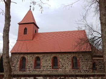
• Randonnée créée par landkreis potsdam-mittelmark. Symbole: rote 40 auf weißem Grund
![Randonnée A pied Rabenstein/Fläming - Naturparkrundwanderweg 42 - Photo](https://media.geolcdn.com/t/350/260/7e9358dc-bca0-4036-8a9f-215abbe06064.jpeg&format=jpg&maxdim=2)
![A pied A pied](https://static1.geolcdn.com/sitytour/trail-icons/100.png)
Km
A pied
![](/images/other/stat-length.png)
![](https://static1.geolcdn.com/siteimages/upload/files/1508320355ic_sort_den_pos_24dp.png)
![](https://static1.geolcdn.com/siteimages/upload/files/1508320355ic_sort_den_neg_24dp.png)
![](https://static1.geolcdn.com/siteimages/upload/files/16400158638029165_repeat_loop_refresh_sync_direction_icon.png)
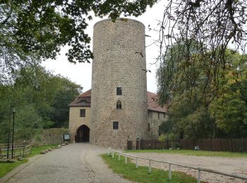
• Randonnée créée par Landkreis Potsdam-Mittelmark. Symbole: rote 42 auf weißem Grund
![Randonnée A pied Rabenstein/Fläming - Grüne Rummel Wanderweg - Photo](https://media.geolcdn.com/t/350/260/7e9358dc-bca0-4036-8a9f-215abbe06064.jpeg&format=jpg&maxdim=2)
![A pied A pied](https://static1.geolcdn.com/sitytour/trail-icons/100.png)
Km
A pied
![](/images/other/stat-length.png)
![](https://static1.geolcdn.com/siteimages/upload/files/1508320355ic_sort_den_pos_24dp.png)
![](https://static1.geolcdn.com/siteimages/upload/files/1508320355ic_sort_den_neg_24dp.png)
![](https://static1.geolcdn.com/siteimages/upload/files/16400158638029165_repeat_loop_refresh_sync_direction_icon.png)
• Randonnée créée par Landkreis Potsdam-Mittelmark. Symbole: grünes Rummelsymbol auf weißem Grund
![Randonnée A pied Rabenstein/Fläming - Bergmolchwanderweg - Photo](https://media.geolcdn.com/t/350/260/e705a2e2-1b7d-4756-b290-7a81ef4d61ae.jpeg&format=jpg&maxdim=2)
![A pied A pied](https://static1.geolcdn.com/sitytour/trail-icons/100.png)
Km
A pied
![](/images/other/stat-length.png)
![](https://static1.geolcdn.com/siteimages/upload/files/1508320355ic_sort_den_pos_24dp.png)
![](https://static1.geolcdn.com/siteimages/upload/files/1508320355ic_sort_den_neg_24dp.png)
![](https://static1.geolcdn.com/siteimages/upload/files/16400158638029165_repeat_loop_refresh_sync_direction_icon.png)
• Randonnée créée par Landkreis Potsdam-Mittelmark. Symbole: blauer stilisierter Bergmolch auf weisem Grund
4 randonnées affichées sur 4
Application GPS de randonnée GRATUITE