![](/images/other/stat-length.png)
Mössingen, Landkreis Tübingen, A pied : Les meilleures randonnées, itinéraires, parcours, balades et promenades
Mössingen : découvrez les meilleures randonnées : 6 a pied. Tous ces circuits, parcours, itinéraires et activités en plein air sont disponibles dans nos applications SityTrail pour smartphones et tablettes.
Les meilleurs parcours (6)
![Randonnée A pied Mössingen - Zugangsweg - Mössingen - Weg-3 - Bahnhof Mössingen - Richtung Dreifürstenstein (In Weg 2) - Photo](https://media.geolcdn.com/t/350/260/ebc027be-f16d-4688-b270-641acb8ef0c8.jpeg&format=jpg&maxdim=2)
![A pied A pied](https://static1.geolcdn.com/sitytour/trail-icons/100.png)
Km
A pied
![](/images/other/stat-length.png)
![](https://static1.geolcdn.com/siteimages/upload/files/1508320355ic_sort_den_pos_24dp.png)
![](https://static1.geolcdn.com/siteimages/upload/files/1508320355ic_sort_den_neg_24dp.png)
![](https://static1.geolcdn.com/siteimages/upload/files/16400158638029165_repeat_loop_refresh_sync_direction_icon.png)
• Randonnée créée par Schwaebischer Albverein - Ortsgruppe Mössingen. Symbole: Blue Pointer on white background
![Randonnée A pied Mössingen - Zugangsweg - Mössingen - Weg-4 - Abzweigung von Weg 5 in Mössingen - Farrenberg Bismarckskapf - Abzweigung Ruine Andeck - Photo](https://media.geolcdn.com/t/350/260/0229ce18-18ed-4b6c-ba4e-dc23dfc8b92c.jpeg&format=jpg&maxdim=2)
![A pied A pied](https://static1.geolcdn.com/sitytour/trail-icons/100.png)
Km
A pied
![](/images/other/stat-length.png)
![](https://static1.geolcdn.com/siteimages/upload/files/1508320355ic_sort_den_pos_24dp.png)
![](https://static1.geolcdn.com/siteimages/upload/files/1508320355ic_sort_den_neg_24dp.png)
![](https://static1.geolcdn.com/siteimages/upload/files/16400158638029165_repeat_loop_refresh_sync_direction_icon.png)
• Randonnée créée par Schwaebischer Albverein - Ortsgruppe Mössingen. Symbole: Blue Pointer on white background
![Randonnée A pied Mössingen - Dreifürstensteig - Photo](https://media.geolcdn.com/t/350/260/16ea2ea3-2da4-4cd0-ab34-989c5ad06c37.jpeg&format=jpg&maxdim=2)
![A pied A pied](https://static1.geolcdn.com/sitytour/trail-icons/100.png)
Km
A pied
![](/images/other/stat-length.png)
![](https://static1.geolcdn.com/siteimages/upload/files/1508320355ic_sort_den_pos_24dp.png)
![](https://static1.geolcdn.com/siteimages/upload/files/1508320355ic_sort_den_neg_24dp.png)
![](https://static1.geolcdn.com/siteimages/upload/files/16400158638029165_repeat_loop_refresh_sync_direction_icon.png)
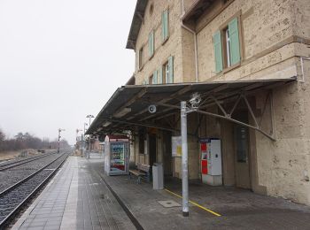
• Randonnée créée par Stadt Mössingen.
![Randonnée A pied Mössingen - Wanderweg - Bodelshausen - Weg-3 - Bodelshausen - Bad Sebastiansweiler - Photo](https://media.geolcdn.com/t/350/260/ad47be14-0604-4bc4-b39c-10cfa438c003.jpeg&format=jpg&maxdim=2)
![A pied A pied](https://static1.geolcdn.com/sitytour/trail-icons/100.png)
Km
A pied
![](/images/other/stat-length.png)
![](https://static1.geolcdn.com/siteimages/upload/files/1508320355ic_sort_den_pos_24dp.png)
![](https://static1.geolcdn.com/siteimages/upload/files/1508320355ic_sort_den_neg_24dp.png)
![](https://static1.geolcdn.com/siteimages/upload/files/16400158638029165_repeat_loop_refresh_sync_direction_icon.png)
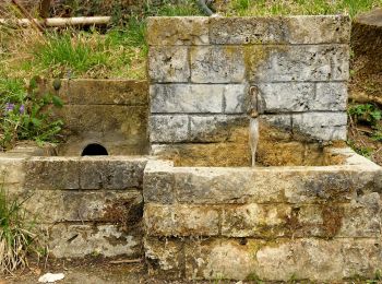
• Randonnée créée par Schwaebischer Albverein - Ortsgruppe Bodelshausen. Symbole: Blue cross on white background
![Randonnée A pied Mössingen - Öschingen-Bolberg - Photo](https://media.geolcdn.com/t/350/260/b2fca59d-2d01-4674-91bf-3173eebcc608.jpeg&format=jpg&maxdim=2)
![A pied A pied](https://static1.geolcdn.com/sitytour/trail-icons/100.png)
Km
A pied
![](/images/other/stat-length.png)
![](https://static1.geolcdn.com/siteimages/upload/files/1508320355ic_sort_den_pos_24dp.png)
![](https://static1.geolcdn.com/siteimages/upload/files/1508320355ic_sort_den_neg_24dp.png)
![](https://static1.geolcdn.com/siteimages/upload/files/16400158638029165_repeat_loop_refresh_sync_direction_icon.png)
• Randonnée créée par Schwäbischer Alb Verein. Symbole: Blaue Gabel auf weißem Grund
![Randonnée A pied Mössingen - Querweg - Mössingen - Weg-9 - Abzweigung von Weg 8 - Schloßbuckel bis zum blauen Dreieck - Photo](https://media.geolcdn.com/t/350/260/ext.jpg?maxdim=2&url=https%3A%2F%2Fstatic1.geolcdn.com%2Fsiteimages%2Fupload%2Ffiles%2F1545311037marcheuse_200dpi.jpg)
![A pied A pied](https://static1.geolcdn.com/sitytour/trail-icons/100.png)
Km
A pied
![](/images/other/stat-length.png)
![](https://static1.geolcdn.com/siteimages/upload/files/1508320355ic_sort_den_pos_24dp.png)
![](https://static1.geolcdn.com/siteimages/upload/files/1508320355ic_sort_den_neg_24dp.png)
![](https://static1.geolcdn.com/siteimages/upload/files/16400158638029165_repeat_loop_refresh_sync_direction_icon.png)
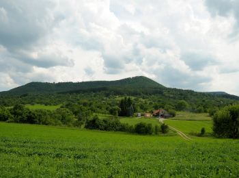
• Randonnée créée par Schwaebischer Albverein - Ortsgruppe Mössingen. Symbole: Blue Diamond on white background
6 randonnées affichées sur 6
Application GPS de randonnée GRATUITE