![](/images/other/stat-length.png)
- Randonnées
- A pied
- Allemagne
- Bade-Wurtemberg
- Rhein-Neckar-Kreis
Rhein-Neckar-Kreis, Bade-Wurtemberg, A pied : Les meilleures randonnées, itinéraires, parcours, balades et promenades
Rhein-Neckar-Kreis : découvrez les meilleures randonnées : 134 a pied. Tous ces circuits, parcours, itinéraires et activités en plein air sont disponibles dans nos applications SityTrail pour smartphones et tablettes.
Les meilleurs parcours (134)
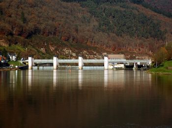
![Randonnée A pied Meckesheim - Rundwanderweg Meckesheim Buchwald 5: Buchwald-Weg - Photo](https://media.geolcdn.com/t/350/260/02c947a8-95d7-4161-ab14-76a18902d9a2.jpeg&format=jpg&maxdim=2)
![A pied A pied](https://static1.geolcdn.com/sitytour/trail-icons/100.png)
Km
A pied
![](/images/other/stat-length.png)
![](https://static1.geolcdn.com/siteimages/upload/files/1508320355ic_sort_den_pos_24dp.png)
![](https://static1.geolcdn.com/siteimages/upload/files/1508320355ic_sort_den_neg_24dp.png)
![](https://static1.geolcdn.com/siteimages/upload/files/16400158638029165_repeat_loop_refresh_sync_direction_icon.png)
• Randonnée créée par Naturpark Neckartal-Odenwald. Symbole: Gelbe 5 im gelben Kreis
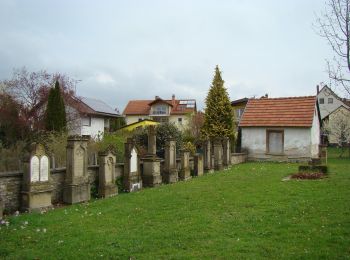
![Randonnée A pied Meckesheim - Rundwanderweg Mönchzell Sportplatz 3: Kloster-Weg - Photo](https://media.geolcdn.com/t/350/260/5a8b33c6-4651-434f-ae13-59ea736f601e.jpeg&format=jpg&maxdim=2)
![A pied A pied](https://static1.geolcdn.com/sitytour/trail-icons/100.png)
Km
A pied
![](/images/other/stat-length.png)
![](https://static1.geolcdn.com/siteimages/upload/files/1508320355ic_sort_den_pos_24dp.png)
![](https://static1.geolcdn.com/siteimages/upload/files/1508320355ic_sort_den_neg_24dp.png)
![](https://static1.geolcdn.com/siteimages/upload/files/16400158638029165_repeat_loop_refresh_sync_direction_icon.png)
• Randonnée créée par Naturpark Neckartal-Odenwald. Symbole: Gelbe 3 im gelben Kreis
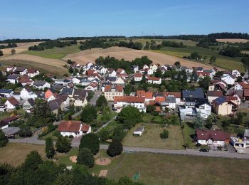
![Randonnée A pied Eschelbronn - Rundwanderweg Eschelbronn Kallenberg 1: Hetzenloch-Weg - Photo](https://media.geolcdn.com/t/350/260/9d5c0c49-50af-4a78-b457-0a5ce9bf9a0e.jpeg&format=jpg&maxdim=2)
![A pied A pied](https://static1.geolcdn.com/sitytour/trail-icons/100.png)
Km
A pied
![](/images/other/stat-length.png)
![](https://static1.geolcdn.com/siteimages/upload/files/1508320355ic_sort_den_pos_24dp.png)
![](https://static1.geolcdn.com/siteimages/upload/files/1508320355ic_sort_den_neg_24dp.png)
![](https://static1.geolcdn.com/siteimages/upload/files/16400158638029165_repeat_loop_refresh_sync_direction_icon.png)
• Randonnée créée par Naturpark Neckartal-Odenwald. Symbole: Gelbe 1 im gelben Kreis
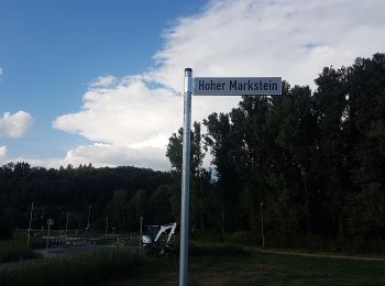
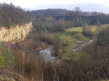
![Randonnée A pied Neidenstein - Schloss-Weg - Photo](https://media.geolcdn.com/t/350/260/8c31f850-3cd8-408a-a3c4-44a5a003044f.jpeg&format=jpg&maxdim=2)
![A pied A pied](https://static1.geolcdn.com/sitytour/trail-icons/100.png)
Km
A pied
![](/images/other/stat-length.png)
![](https://static1.geolcdn.com/siteimages/upload/files/1508320355ic_sort_den_pos_24dp.png)
![](https://static1.geolcdn.com/siteimages/upload/files/1508320355ic_sort_den_neg_24dp.png)
![](https://static1.geolcdn.com/siteimages/upload/files/16400158638029165_repeat_loop_refresh_sync_direction_icon.png)
• Randonnée créée par Naturpark Neckartal-Odenwald. Wegführung im Ortskern von Neidenstein unklar, keine Markierung vo...
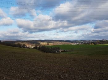
![Randonnée A pied Eschelbronn - Rundwanderweg Eschelbronn Sporthalle 3: Kuhloch-Weg - Photo](https://media.geolcdn.com/t/350/260/f3dd1775-a764-41d6-b84d-3260936d8616.jpeg&format=jpg&maxdim=2)
![A pied A pied](https://static1.geolcdn.com/sitytour/trail-icons/100.png)
Km
A pied
![](/images/other/stat-length.png)
![](https://static1.geolcdn.com/siteimages/upload/files/1508320355ic_sort_den_pos_24dp.png)
![](https://static1.geolcdn.com/siteimages/upload/files/1508320355ic_sort_den_neg_24dp.png)
![](https://static1.geolcdn.com/siteimages/upload/files/16400158638029165_repeat_loop_refresh_sync_direction_icon.png)
• Randonnée créée par Naturpark Neckartal-Odenwald. Symbole: Gelbe 3 im gelben Kreis
![Randonnée A pied Eschelbronn - Rundwanderweg Eschelbronn Sporthalle 2: Weißeberg-Weg - Photo](https://media.geolcdn.com/t/350/260/d4f4d099-68a5-49a6-b993-cafbf508d88e.jpeg&format=jpg&maxdim=2)
![A pied A pied](https://static1.geolcdn.com/sitytour/trail-icons/100.png)
Km
A pied
![](/images/other/stat-length.png)
![](https://static1.geolcdn.com/siteimages/upload/files/1508320355ic_sort_den_pos_24dp.png)
![](https://static1.geolcdn.com/siteimages/upload/files/1508320355ic_sort_den_neg_24dp.png)
![](https://static1.geolcdn.com/siteimages/upload/files/16400158638029165_repeat_loop_refresh_sync_direction_icon.png)
• Randonnée créée par Naturpark Neckartal-Odenwald. Symbole: Gelbe 2 im gelben Kreis
![Randonnée A pied Neidenstein - Rundwanderweg Neidenstein 2: Galgenberg-Weg - Photo](https://media.geolcdn.com/t/350/260/6c12e913-47c6-4e71-a528-474d2f785a2c.jpeg&format=jpg&maxdim=2)
![A pied A pied](https://static1.geolcdn.com/sitytour/trail-icons/100.png)
Km
A pied
![](/images/other/stat-length.png)
![](https://static1.geolcdn.com/siteimages/upload/files/1508320355ic_sort_den_pos_24dp.png)
![](https://static1.geolcdn.com/siteimages/upload/files/1508320355ic_sort_den_neg_24dp.png)
![](https://static1.geolcdn.com/siteimages/upload/files/16400158638029165_repeat_loop_refresh_sync_direction_icon.png)
• Randonnée créée par Naturpark Neckartal-Odenwald. Symbole: Weiße 2 in einem oben offenen Kreis, darüber weißes N
![Randonnée A pied Neidenstein - Rundwanderweg Neidenstein 1: Schlosswald-Weg - Photo](https://media.geolcdn.com/t/350/260/6c12e913-47c6-4e71-a528-474d2f785a2c.jpeg&format=jpg&maxdim=2)
![A pied A pied](https://static1.geolcdn.com/sitytour/trail-icons/100.png)
Km
A pied
![](/images/other/stat-length.png)
![](https://static1.geolcdn.com/siteimages/upload/files/1508320355ic_sort_den_pos_24dp.png)
![](https://static1.geolcdn.com/siteimages/upload/files/1508320355ic_sort_den_neg_24dp.png)
![](https://static1.geolcdn.com/siteimages/upload/files/16400158638029165_repeat_loop_refresh_sync_direction_icon.png)
• Randonnée créée par Naturpark Neckartal-Odenwald. Symbole: Weiße 1 in einem oben offenen Kreis, darüber weißes N
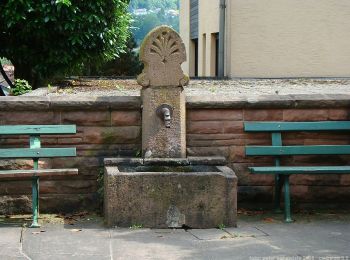
![Randonnée A pied Neckargemünd - Rundwanderweg Büdel-Ebert-Heim 5: Ochsenkopf-Weg - Photo](https://media.geolcdn.com/t/350/260/96d072dd-e918-4a37-b2bc-5e91275721de.jpeg&format=jpg&maxdim=2)
![A pied A pied](https://static1.geolcdn.com/sitytour/trail-icons/100.png)
Km
A pied
![](/images/other/stat-length.png)
![](https://static1.geolcdn.com/siteimages/upload/files/1508320355ic_sort_den_pos_24dp.png)
![](https://static1.geolcdn.com/siteimages/upload/files/1508320355ic_sort_den_neg_24dp.png)
![](https://static1.geolcdn.com/siteimages/upload/files/16400158638029165_repeat_loop_refresh_sync_direction_icon.png)
• Randonnée créée par Naturpark Neckartal-Odenwald. Symbole: Gelbe 5 im gelben Kreis
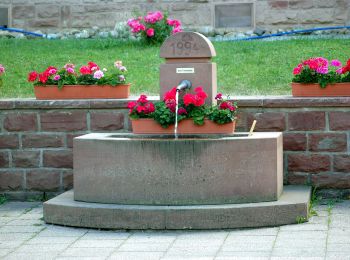
![Randonnée A pied Reichartshausen - Rundwanderweg Reichartshausen 1: Lindenberg-Weg - Photo](https://media.geolcdn.com/t/350/260/012b532a-9850-4dcf-9574-e82c1adddf55.jpeg&format=jpg&maxdim=2)
![A pied A pied](https://static1.geolcdn.com/sitytour/trail-icons/100.png)
Km
A pied
![](/images/other/stat-length.png)
![](https://static1.geolcdn.com/siteimages/upload/files/1508320355ic_sort_den_pos_24dp.png)
![](https://static1.geolcdn.com/siteimages/upload/files/1508320355ic_sort_den_neg_24dp.png)
![](https://static1.geolcdn.com/siteimages/upload/files/16400158638029165_repeat_loop_refresh_sync_direction_icon.png)
• Symbole: Weiße 1 in einem oben offenen Kreis, darüber weißes R
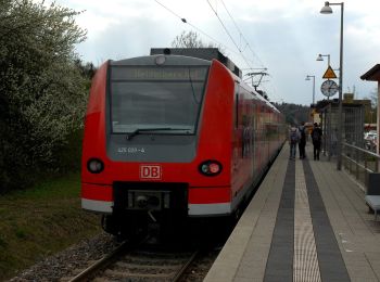
![Randonnée A pied Reichartshausen - Rundwanderweg Helmstadt 2: Reichartshausen-Weg - Photo](https://media.geolcdn.com/t/350/260/50af3fbf-d4a9-4cca-8749-bf9d5d36f74a.jpeg&format=jpg&maxdim=2)
![A pied A pied](https://static1.geolcdn.com/sitytour/trail-icons/100.png)
Km
A pied
![](/images/other/stat-length.png)
![](https://static1.geolcdn.com/siteimages/upload/files/1508320355ic_sort_den_pos_24dp.png)
![](https://static1.geolcdn.com/siteimages/upload/files/1508320355ic_sort_den_neg_24dp.png)
![](https://static1.geolcdn.com/siteimages/upload/files/16400158638029165_repeat_loop_refresh_sync_direction_icon.png)
• Symbole: Weiße 2 in einem oben offenen Kreis, darüber weißes H
![Randonnée A pied Neidenstein - Rundwanderweg Waibstadt 3: Neidenstein-Weg - Photo](https://media.geolcdn.com/t/350/260/f3dd1775-a764-41d6-b84d-3260936d8616.jpeg&format=jpg&maxdim=2)
![A pied A pied](https://static1.geolcdn.com/sitytour/trail-icons/100.png)
Km
A pied
![](/images/other/stat-length.png)
![](https://static1.geolcdn.com/siteimages/upload/files/1508320355ic_sort_den_pos_24dp.png)
![](https://static1.geolcdn.com/siteimages/upload/files/1508320355ic_sort_den_neg_24dp.png)
![](https://static1.geolcdn.com/siteimages/upload/files/16400158638029165_repeat_loop_refresh_sync_direction_icon.png)
• Randonnée créée par Naturpark Neckartal-Odenwald. Symbole: Weiße 3 in einem oben offenen Kreis, darüber weißes W
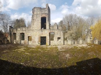
![Randonnée A pied Epfenbach - Rundwanderweg Epfenbach 2: Waschauf-Weg - Photo](https://media.geolcdn.com/t/350/260/2e8478ec-1bea-44a5-a910-2d2a6483a5d6.jpeg&format=jpg&maxdim=2)
![A pied A pied](https://static1.geolcdn.com/sitytour/trail-icons/100.png)
Km
A pied
![](/images/other/stat-length.png)
![](https://static1.geolcdn.com/siteimages/upload/files/1508320355ic_sort_den_pos_24dp.png)
![](https://static1.geolcdn.com/siteimages/upload/files/1508320355ic_sort_den_neg_24dp.png)
![](https://static1.geolcdn.com/siteimages/upload/files/16400158638029165_repeat_loop_refresh_sync_direction_icon.png)
• Randonnée créée par Naturpark Neckartal-Odenwald. Symbole: Weiße 2 in einem oben offenen Kreis, darüber weißes E
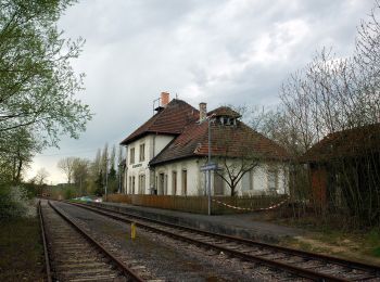
![Randonnée A pied Waibstadt - Rundwanderweg Waibstadt 6: Geren-Weg - Photo](https://media.geolcdn.com/t/350/260/19eab6fa-62a9-427b-8e89-a9bd46cf7723.jpeg&format=jpg&maxdim=2)
![A pied A pied](https://static1.geolcdn.com/sitytour/trail-icons/100.png)
Km
A pied
![](/images/other/stat-length.png)
![](https://static1.geolcdn.com/siteimages/upload/files/1508320355ic_sort_den_pos_24dp.png)
![](https://static1.geolcdn.com/siteimages/upload/files/1508320355ic_sort_den_neg_24dp.png)
![](https://static1.geolcdn.com/siteimages/upload/files/16400158638029165_repeat_loop_refresh_sync_direction_icon.png)
• Randonnée créée par Naturpark Neckartal-Odenwald. Symbole: Weiße 6 in einem oben offenen Kreis, darüber weißes W
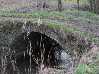
![Randonnée A pied Helmstadt-Bargen - Rundwanderweg Bargen 1: Kälbertshausen-Weg - Photo](https://media.geolcdn.com/t/350/260/f26bd64d-cfce-4a4c-a786-dc71ede71b79.jpeg&format=jpg&maxdim=2)
![A pied A pied](https://static1.geolcdn.com/sitytour/trail-icons/100.png)
Km
A pied
![](/images/other/stat-length.png)
![](https://static1.geolcdn.com/siteimages/upload/files/1508320355ic_sort_den_pos_24dp.png)
![](https://static1.geolcdn.com/siteimages/upload/files/1508320355ic_sort_den_neg_24dp.png)
![](https://static1.geolcdn.com/siteimages/upload/files/16400158638029165_repeat_loop_refresh_sync_direction_icon.png)
• Symbole: Weiße 1 in einem oben offenen Kreis, darüber weißes Ba
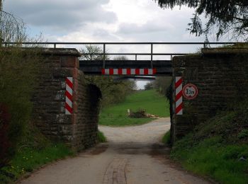
![Randonnée A pied Helmstadt-Bargen - Rundwanderweg Helmstadt 1: Flinsbach-Weg - Photo](https://media.geolcdn.com/t/350/260/0a63f596-438b-4649-bc1d-e88b324d2354.jpeg&format=jpg&maxdim=2)
![A pied A pied](https://static1.geolcdn.com/sitytour/trail-icons/100.png)
Km
A pied
![](/images/other/stat-length.png)
![](https://static1.geolcdn.com/siteimages/upload/files/1508320355ic_sort_den_pos_24dp.png)
![](https://static1.geolcdn.com/siteimages/upload/files/1508320355ic_sort_den_neg_24dp.png)
![](https://static1.geolcdn.com/siteimages/upload/files/16400158638029165_repeat_loop_refresh_sync_direction_icon.png)
• Symbole: Weiße 1 in einem oben offenen Kreis, darüber weißes H
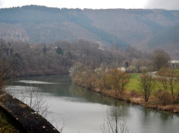
![Randonnée A pied Schönbrunn - Rundwanderweg Neckaralm 2: Moosbrunn-Weg - Photo](https://media.geolcdn.com/t/350/260/86c638bb-bd7c-455e-93de-42eff0f3724d.jpeg&format=jpg&maxdim=2)
![A pied A pied](https://static1.geolcdn.com/sitytour/trail-icons/100.png)
Km
A pied
![](/images/other/stat-length.png)
![](https://static1.geolcdn.com/siteimages/upload/files/1508320355ic_sort_den_pos_24dp.png)
![](https://static1.geolcdn.com/siteimages/upload/files/1508320355ic_sort_den_neg_24dp.png)
![](https://static1.geolcdn.com/siteimages/upload/files/16400158638029165_repeat_loop_refresh_sync_direction_icon.png)
• Symbole: Gelbe 2 in gelbem Kreis
![Randonnée A pied Schönbrunn - Rundwanderweg Hirschhorn 3: Großer Moosbrunn-Weg - Photo](https://media.geolcdn.com/t/350/260/46037067-8701-4359-a3cd-a00a59c9d191.jpeg&format=jpg&maxdim=2)
![A pied A pied](https://static1.geolcdn.com/sitytour/trail-icons/100.png)
Km
A pied
![](/images/other/stat-length.png)
![](https://static1.geolcdn.com/siteimages/upload/files/1508320355ic_sort_den_pos_24dp.png)
![](https://static1.geolcdn.com/siteimages/upload/files/1508320355ic_sort_den_neg_24dp.png)
![](https://static1.geolcdn.com/siteimages/upload/files/16400158638029165_repeat_loop_refresh_sync_direction_icon.png)
• Symbole: weiße H3 im oben offenen Kreis, darin ein 'H'
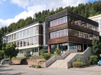
![Randonnée A pied Eberbach - Rundwanderweg Am Gymnasium 1: Hohe-Warte-Weg - Photo](https://media.geolcdn.com/t/350/260/587aac3a-b235-4572-9800-2c06eba45610.jpeg&format=jpg&maxdim=2)
![A pied A pied](https://static1.geolcdn.com/sitytour/trail-icons/100.png)
Km
A pied
![](/images/other/stat-length.png)
![](https://static1.geolcdn.com/siteimages/upload/files/1508320355ic_sort_den_pos_24dp.png)
![](https://static1.geolcdn.com/siteimages/upload/files/1508320355ic_sort_den_neg_24dp.png)
![](https://static1.geolcdn.com/siteimages/upload/files/16400158638029165_repeat_loop_refresh_sync_direction_icon.png)
• Randonnée créée par Naturpark Neckartal-Odenwald. Symbole: Gelbe 1 im gelben Kreis
![Randonnée A pied Leimen - Rundwanderweg Gauangelloch 3: Teichweg - Photo](https://media.geolcdn.com/t/350/260/02cb6c86-4ae9-47e4-b3a3-9e212df8bf44.jpeg&format=jpg&maxdim=2)
![A pied A pied](https://static1.geolcdn.com/sitytour/trail-icons/100.png)
Km
A pied
![](/images/other/stat-length.png)
![](https://static1.geolcdn.com/siteimages/upload/files/1508320355ic_sort_den_pos_24dp.png)
![](https://static1.geolcdn.com/siteimages/upload/files/1508320355ic_sort_den_neg_24dp.png)
![](https://static1.geolcdn.com/siteimages/upload/files/16400158638029165_repeat_loop_refresh_sync_direction_icon.png)
• Randonnée créée par Naturpark Neckartal-Odenwald. Symbole: Weiße 3 in einem oben offenen Kreis, darüber weißes GL
20 randonnées affichées sur 134
Application GPS de randonnée GRATUITE
Activités
Régions proches
- Bammental
- Dossenheim
- Eberbach
- Epfenbach
- Eschelbronn
- Gaiberg
- Heddesbach
- Heiligkreuzsteinach
- Helmstadt-Bargen
- Hemsbach
- Hirschberg an der Bergstraße
- Ladenburg
- Laudenbach
- Leimen
- Lobbach
- Meckesheim
- Neckargemünd
- Neidenstein
- Neulußheim
- Nußloch
- Reichartshausen
- Schönau
- Schönbrunn
- Schriesheim
- Sinsheim
- Spechbach
- St. Leon-Rot
- Waibstadt
- Walldorf
- Weinheim
- Wiesenbach
- Wiesloch
- Wilhelmsfeld