


3,5 km | 4,2 km-effort
Landkreis Sigmaringen : découvrez les meilleures randonnées : 7 a pied. Tous ces circuits, parcours, itinéraires et activités en plein air sont disponibles dans nos applications SityTrail pour smartphones et tablettes.
A pied


• Randonnée créée par Römermuseum Mengen-Ennetach. Symbole: weise Tafel mit Aufschrift "Archäologischer Wanderweg", un...
A pied
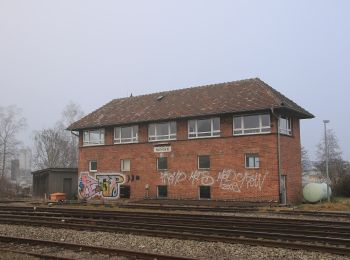
• Randonnée créée par Erlebniskreis Sigmaringen. Symbole: no
A pied
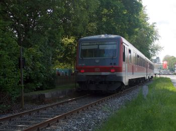
• Randonnée créée par Tourismusbetriebsgesellschaft Bad Saulgau mbH.
A pied
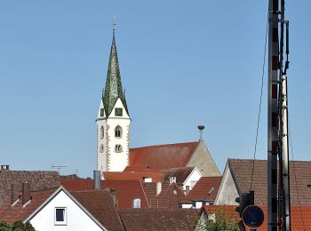
• Randonnée créée par Tourismusbetriebsgesellschaft Bad Saulgau mbH.

A pied
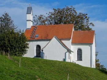
• Randonnée créée par Tourismusbetriebsgesellschaft Bad Saulgau mbH.
A pied
• Randonnée créée par Tourismusbetriebsgesellschaft Bad Saulgau mbH.
A pied
• Symbole: gelbe Raute auf weißem Grund
7 randonnées affichées sur 7
Application GPS de randonnée GRATUITE
 SityTrail
IGN / Instituts géographiques
SityTrail World
Le monde est à vous