


7,3 km | 11 km-effort
Wildberg : découvrez les meilleures randonnées : 9 a pied. Tous ces circuits, parcours, itinéraires et activités en plein air sont disponibles dans nos applications SityTrail pour smartphones et tablettes.
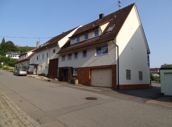
A pied


• Site web: https://schwarzwaldnatur.blogspot.com/2017/03/naturpark-augenblick-wildberg.html
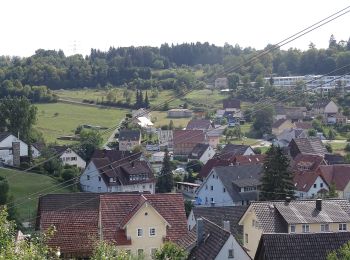
A pied
• Randonnée créée par Schwarzwaldverein. Symbole: Gelbe Raute auf weißem Grund
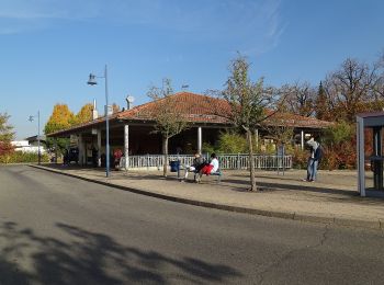
A pied
• Randonnée créée par Schwarzwaldverein. Symbole: Gelbe Route auf weißem Grund
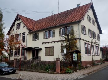
A pied
• Randonnée créée par Schwarzwaldverein. Symbole: Gelbe Route auf weißem Grund
A pied
• Symbole: Gelbe Route auf weißem Grund
A pied
• Randonnée créée par Schwarzwaldverein. Symbole: Gelbe Route auf weißem Grund
A pied
• Randonnée créée par Schwarzwaldverein. SWV Blaue Raute, Ehningen - Gültlingen Symbole: Blaue Raute auf weißem Grund
A pied
• Randonnée créée par Schwarzwaldverein. Symbole: Blaue Raute auf weißem Grund
A pied
• Randonnée créée par Schwarzwaldverein. Symbole: Blaue Raute auf weißem Grund
9 randonnées affichées sur 9
Application GPS de randonnée GRATUITE
 SityTrail
IGN / Instituts géographiques
SityTrail World
Le monde est à vous