![](/images/other/stat-length.png)
- Randonnées
- A pied
- Allemagne
- Bade-Wurtemberg
- Schwarzwald-Baar-Kreis
- Schonach im Schwarzwald
Schonach im Schwarzwald, Schwarzwald-Baar-Kreis, A pied : Les meilleures randonnées, itinéraires, parcours, balades et promenades
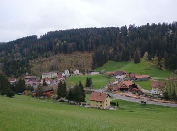
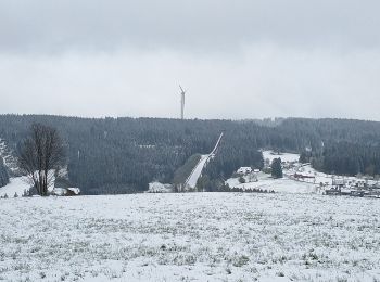
Schonach im Schwarzwald : découvrez les meilleures randonnées : 1 a pied et 2 marche. Tous ces circuits, parcours, itinéraires et activités en plein air sont disponibles dans nos applications SityTrail pour smartphones et tablettes.
Les meilleurs parcours (3)
![Randonnée Marche Schonach im Schwarzwald - Schonach Triberg - Photo](https://media.geolcdn.com/t/350/260/d0f2ea2f-1772-4761-baed-afad784c4364.jpg&format=jpg&maxdim=2)
![Marche Marche](https://static1.geolcdn.com/sitytour/trail-icons/101.png)
Km
Marche
![](/images/other/stat-length.png)
![](https://static1.geolcdn.com/siteimages/upload/files/1508320355ic_sort_den_pos_24dp.png)
![](https://static1.geolcdn.com/siteimages/upload/files/1508320355ic_sort_den_neg_24dp.png)
![](https://static1.geolcdn.com/siteimages/upload/files/16400158638029165_repeat_loop_refresh_sync_direction_icon.png)
• Départ du ParadiesHof pour rejoindre la plus grande cascade allemande qui se trouve à Triberg dans le Bad Württemberg...
![Randonnée Marche Schonach im Schwarzwald - ParadiesHof Schonach - Photo](https://media.geolcdn.com/t/350/260/3bbda223-c25b-48ef-b2f9-51eefedfc922.jpg&format=jpg&maxdim=2)
![Marche Marche](https://static1.geolcdn.com/sitytour/trail-icons/101.png)
Km
Marche
![](/images/other/stat-length.png)
![](https://static1.geolcdn.com/siteimages/upload/files/1508320355ic_sort_den_pos_24dp.png)
![](https://static1.geolcdn.com/siteimages/upload/files/1508320355ic_sort_den_neg_24dp.png)
![](https://static1.geolcdn.com/siteimages/upload/files/16400158638029165_repeat_loop_refresh_sync_direction_icon.png)
![Randonnée A pied Schonach im Schwarzwald - Westweg Day 2 Wilhemshohe to Kalte Herberge - Photo](https://media.geolcdn.com/t/350/260/ext.jpg?maxdim=2&url=https%3A%2F%2Fstatic1.geolcdn.com%2Fsiteimages%2Fupload%2Ffiles%2F1545311037marcheuse_200dpi.jpg)
![A pied A pied](https://static1.geolcdn.com/sitytour/trail-icons/100.png)
Km
A pied
![](/images/other/stat-length.png)
![](https://static1.geolcdn.com/siteimages/upload/files/1508320355ic_sort_den_pos_24dp.png)
![](https://static1.geolcdn.com/siteimages/upload/files/1508320355ic_sort_den_neg_24dp.png)
![](https://static1.geolcdn.com/siteimages/upload/files/16400158638029165_repeat_loop_refresh_sync_direction_icon.png)
• WeiBenbacherhöhe 5.5km et 133D+ Brend 11km et 365D+ Neuek 17km et 438D+ Kalte Herberge 24km et 700D+
3 randonnées affichées sur 3
Application GPS de randonnée GRATUITE