


12 km | 16,9 km-effort
Baiersbronn : découvrez les meilleures randonnées : 18 a pied et 12 marche. Tous ces circuits, parcours, itinéraires et activités en plein air sont disponibles dans nos applications SityTrail pour smartphones et tablettes.
A pied


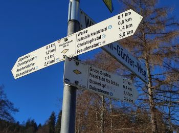
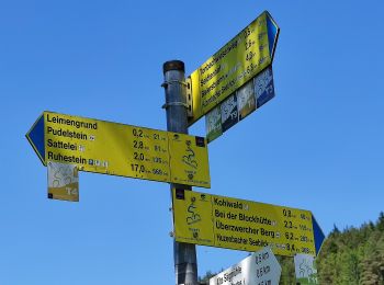
• Symbole: Stilisierter grüner Mönch auf weißem Grund
A pied
• Symbole: Stilisierte grüne Brücke mit grünem Wasser auf weißem Grund
A pied
• Randonnée créée par Schwarzwaldverein. Symbole: Blaue Raute auf weißem Grund
A pied
• Randonnée créée par Schwarzwaldverein. Symbole: yellow diamond on white
A pied
• Randonnée créée par Schwarzwaldverein. Symbole: Gelbe Raute auf weißem Grund
A pied
• Randonnée créée par Schwarzwaldverein. Symbole: Blaue Raute auf weißem Grund
A pied
• Symbole: Bollenhutlogo
A pied
• Randonnée créée par Schwarzwaldverein. Symbole: Liegende gelbe Raute auf weißem Grund
A pied
• Randonnée créée par Schwarzwaldverein. Symbole: Blaue Raute auf weißem Grund
A pied
• Randonnée créée par Schwarzwaldverein. Symbole: Blaue Raute auf weißem Grund
A pied
• Randonnée créée par Schwarzwaldverein. Symbole: Blaue Raute auf weißem Grund
A pied
• Randonnée créée par Schwarzwaldverein. Symbole: Blaue Raute auf weißem Grund
A pied
• Randonnée créée par Schwarzwaldverein. Symbole: Blaue Raute auf weißem Grund
A pied
• Randonnée créée par Schwarzwaldverein. Symbole: Blaue Raute auf weißem Grund
Marche
• Belle randonnée en Forêt Noire pour découvrir un lac glacière et surtout la cascade de Sankenbach. Fait amusant, le v...
Marche
Marche
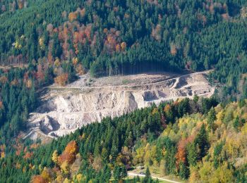
• panoramique

A pied
• Randonnée créée par Schwarzwaldverein. Symbole: yellow diamond on white
A pied
• Très beau circuit avec des sentiers en lacets idyliques, notamment le Erlebnispfad en descendent du Kniebis. Cascades...
A pied
• Très beau circuit avec des sentiers en lacets idyliques, notamment le Erlebnispfad en descendent du Kniebis. Cascades...
20 randonnées affichées sur 29
Application GPS de randonnée GRATUITE
 SityTrail
IGN / Instituts géographiques
SityTrail World
Le monde est à vous