


13,2 km | 15,5 km-effort
Landkreis Starnberg : découvrez les meilleures randonnées : 10 a pied. Tous ces circuits, parcours, itinéraires et activités en plein air sont disponibles dans nos applications SityTrail pour smartphones et tablettes.
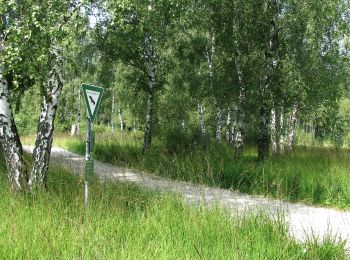
A pied


• Randonnée créée par Zeitreise Gilching e.V..
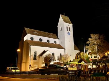
A pied
• Randonnée créée par Zeitreise Gilching e.V.. Site web: https://www.zeitreise-gilching.de/geschichte-erleben/in-gil...
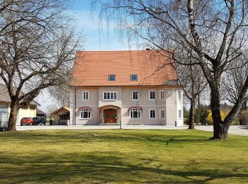
A pied
• Randonnée créée par Gesellschaft für Archäologie und Ortsgeschichte Gilchings. Symbole: bajuwarischer Löwe, roter Pf...
A pied
A pied
A pied

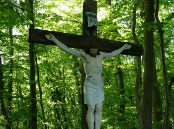
A pied
• Randonnée créée par Rotary Club Wörthsee.
A pied
A pied
A pied
10 randonnées affichées sur 10
Application GPS de randonnée GRATUITE
 SityTrail
IGN / Instituts géographiques
SityTrail World
Le monde est à vous