


10,3 km | 14,9 km-effort
Kemnath : découvrez les meilleures randonnées : 6 a pied. Tous ces circuits, parcours, itinéraires et activités en plein air sont disponibles dans nos applications SityTrail pour smartphones et tablettes.
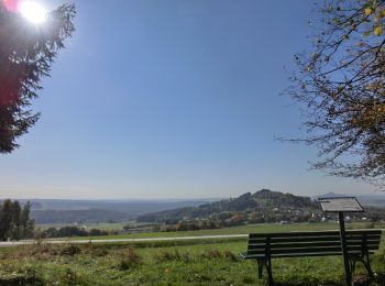
A pied


• Randonnée créée par GEOPARK Bayern-Böhmen. Markierung nur im Uhrzeigersinn
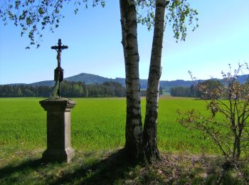
A pied
• Randonnée créée par GEOPARK Bayern-Böhmen. Markierung nur im Uhrzeigersinn
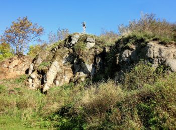
A pied
• Randonnée créée par Oberpfälzer Wald-Verein. Symbole: roter Punkt
A pied
• Randonnée créée par GEOPARK Bayern-Böhmen. Markierung nur im Uhrzeigersinn
A pied
• Randonnée créée par Oberpfälzer Wald-Verein. Symbole: rotes Rechteck
A pied
• Randonnée créée par Oberpfälzer Wald-Verein. Symbole: gelbes Rechteck
6 randonnées affichées sur 6
Application GPS de randonnée GRATUITE
 SityTrail
IGN / Instituts géographiques
SityTrail World
Le monde est à vous