Neumarkt in der Oberpfalz, Landkreis Neumarkt in der Oberpfalz, A pied : Les meilleures randonnées, itinéraires, parcours, balades et promenades

Neumarkt in der Oberpfalz : découvrez les meilleures randonnées : 8 a pied. Tous ces circuits, parcours, itinéraires et activités en plein air sont disponibles dans nos applications SityTrail pour smartphones et tablettes.


Les meilleurs parcours (8)
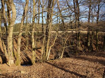
Randonnée A pied Neumarkt in der Oberpfalz - Steinbergrundweg - Photo
A pied 6.436
Km
GUIDE+

A pied

Facile
Neumarkt in der Oberpfalz, Bavière, Landkreis Neumarkt in der Oberpfalz, Allemagne
6,4 km | 8,6 km-effort
1h 57min
165 m
165 m
Oui
SityTrail - itinéraires balisés pédestres

• Randonnée créée par nicht bekannt. abgeschlossen (Jan 2013 by cycling_zno) Symbole: Weiße 3 auf blauem Grund

Randonnée A pied Neumarkt in der Oberpfalz - Rundweg Pilsach – Bodenmühle - Photo
A pied 7.005
Km
GUIDE+

A pied

Facile
Neumarkt in der Oberpfalz, Bavière, Landkreis Neumarkt in der Oberpfalz, Allemagne
7 km | 8,5 km-effort
1h 55min
110 m
113 m
Oui
SityTrail - itinéraires balisés pédestres

• Randonnée créée par Gemeinde Pilsach b.Neumarkt i.d.OPf.. abgeschlossen (Jan 2013 by cycling_zno) Symbole: Weiße 2 ...
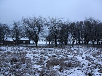
Randonnée A pied Neumarkt in der Oberpfalz - Rundweg Labersricht - Photo
A pied 6.504
Km
GUIDE+

A pied

Facile
Neumarkt in der Oberpfalz, Bavière, Landkreis Neumarkt in der Oberpfalz, Allemagne
6,5 km | 8,5 km-effort
1h 55min
149 m
152 m
Oui
SityTrail - itinéraires balisés pédestres

• Randonnée créée par nicht bekannt. abgeschlossen (Jan 2013 by cycling_zno) Symbole: Weiße 4 auf grünem Grund
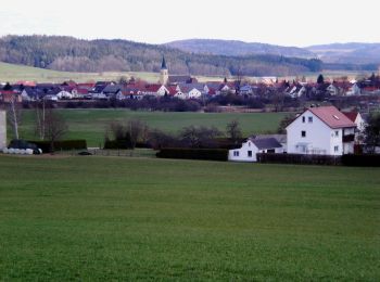
Randonnée A pied Neumarkt in der Oberpfalz - TyrolsbergerWaldrundweg - Photo
A pied 4.819
Km
GUIDE+

A pied

Facile
Neumarkt in der Oberpfalz, Bavière, Landkreis Neumarkt in der Oberpfalz, Allemagne
4,8 km | 6,1 km-effort
1h 23min
87 m
125 m
Non
SityTrail - itinéraires balisés pédestres

• Randonnée créée par Gemeinde Berngau. abgeschlossen (Jan 2013 by cycling_zno) Symbole: Weisse 4 auf grünem Grund

Randonnée A pied Neumarkt in der Oberpfalz - Buchberg Rundweg - Photo
A pied 5.315
Km
GUIDE+

A pied

Facile
Neumarkt in der Oberpfalz, Bavière, Landkreis Neumarkt in der Oberpfalz, Allemagne
5,3 km | 7,2 km-effort
1h 37min
140 m
134 m
Oui
SityTrail - itinéraires balisés pédestres

• Randonnée créée par DAV Neumarkt. abgeschlossen (Jan 2013 by cycling_zno) Symbole: Schwarzer Kreis auf gelbem Grund

Randonnée A pied Neumarkt in der Oberpfalz - Wolfsteinweg - Photo
A pied 7.497
Km
GUIDE+

A pied

Facile
Neumarkt in der Oberpfalz, Bavière, Landkreis Neumarkt in der Oberpfalz, Allemagne
7,5 km | 9,9 km-effort
2h 14min
175 m
183 m
Oui
SityTrail - itinéraires balisés pédestres

• Randonnée créée par nicht bekannt. abgeschlossen (Jan 2013 by cycling_zno) Symbole: Weiße 5 auf blauem Grund
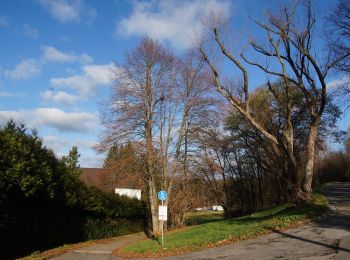
Randonnée A pied Neumarkt in der Oberpfalz - Graßahofer Rundweg - Photo
A pied 7.929
Km
GUIDE+

A pied

Facile
Neumarkt in der Oberpfalz, Bavière, Landkreis Neumarkt in der Oberpfalz, Allemagne
7,9 km | 9,8 km-effort
2h 13min
110 m
222 m
Non
SityTrail - itinéraires balisés pédestres

• Randonnée créée par nicht bekannt. abgeschlossen (Jan 2013 by cycling_zno) Symbole: Weiße 7 auf grünem Grund
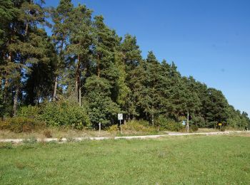
Randonnée A pied Neumarkt in der Oberpfalz - Lengenbachtalweg - Photo
A pied 10.18
Km
GUIDE+

A pied

Facile
Neumarkt in der Oberpfalz, Bavière, Landkreis Neumarkt in der Oberpfalz, Allemagne
10,2 km | 12,7 km-effort
2h 53min
169 m
258 m
Non
SityTrail - itinéraires balisés pédestres

• Randonnée créée par nicht bekannt. abgeschlossen (Jan 2013 by cycling_zno) Symbole: Weiße 6 auf grünem Grund

8 randonnées affichées sur 8

Application GPS de randonnée GRATUITE

Logo SityTrail SityTrail

IGN / Instituts géographiques

Télécharger SityTrail sur l'App Store Télécharger SityTrail sur Google Play

Logo SityTrail SityTrail World

Le monde est à vous

Télécharger SityTrail sur l'App Store Télécharger SityTrail sur Google Play Télécharger SityTrail sur Huawei AppGallery

Activités

Fermer
Mes abonnements