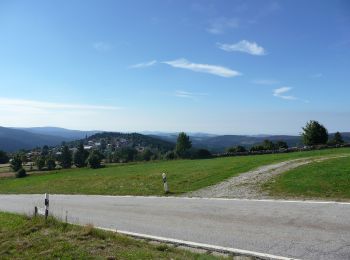
![](/images/other/stat-length.png)
- Randonnées
- A pied
- Allemagne
- Bavière
- Landkreis Freyung-Grafenau
- Mauther Forst
Mauther Forst, Landkreis Freyung-Grafenau, A pied : Les meilleures randonnées, itinéraires, parcours, balades et promenades
Mauther Forst : découvrez les meilleures randonnées : 2 a pied. Tous ces circuits, parcours, itinéraires et activités en plein air sont disponibles dans nos applications SityTrail pour smartphones et tablettes.
Les meilleurs parcours (2)
![Randonnée A pied Mauther Forst - Birkhuhn - Photo](https://media.geolcdn.com/t/350/260/bae98332-a917-4bf0-82fd-9594dcf2769e.jpeg&format=jpg&maxdim=2)
![A pied A pied](https://static1.geolcdn.com/sitytour/trail-icons/100.png)
Km
A pied
![](/images/other/stat-length.png)
![](https://static1.geolcdn.com/siteimages/upload/files/1508320355ic_sort_den_pos_24dp.png)
![](https://static1.geolcdn.com/siteimages/upload/files/1508320355ic_sort_den_neg_24dp.png)
![](https://static1.geolcdn.com/siteimages/upload/files/16400158638029165_repeat_loop_refresh_sync_direction_icon.png)
• Randonnée créée par Nationalpark Bayerischer Wald. FIXME: Bitte hilf mit, fehlende Wegsegmente zu erfassen. Was für ...
![Randonnée A pied Mauther Forst - Sperlingskauz - Photo](https://media.geolcdn.com/t/350/260/1e41820a-4406-4315-8608-4043f43ffef3.jpeg&format=jpg&maxdim=2)
![A pied A pied](https://static1.geolcdn.com/sitytour/trail-icons/100.png)
Km
A pied
![](/images/other/stat-length.png)
![](https://static1.geolcdn.com/siteimages/upload/files/1508320355ic_sort_den_pos_24dp.png)
![](https://static1.geolcdn.com/siteimages/upload/files/1508320355ic_sort_den_neg_24dp.png)
![](https://static1.geolcdn.com/siteimages/upload/files/16400158638029165_repeat_loop_refresh_sync_direction_icon.png)
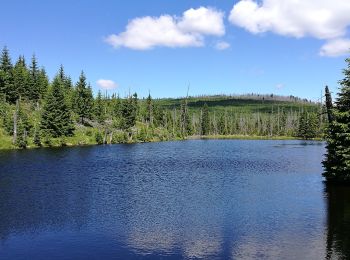
• Randonnée créée par Nationalpark Bayerischer Wald. Symbole: Tiersymbol (Sperlingskauz) in schwarz auf gelbem quadrat...
2 randonnées affichées sur 2
Application GPS de randonnée GRATUITE