Illschwang, Landkreis Amberg-Sulzbach, A pied : Les meilleures randonnées, itinéraires, parcours, balades et promenades

Illschwang : découvrez les meilleures randonnées : 9 a pied. Tous ces circuits, parcours, itinéraires et activités en plein air sont disponibles dans nos applications SityTrail pour smartphones et tablettes.


Les meilleurs parcours (9)
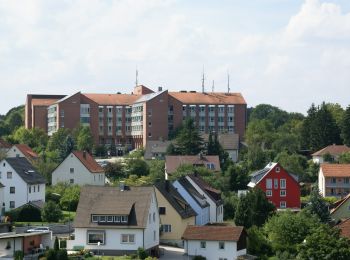
Randonnée A pied Illschwang - Sulzbach-Rosenberg 2 - Photo
A pied 4.749
Km
GUIDE+

A pied

Facile
Illschwang, Bavière, Landkreis Amberg-Sulzbach, Allemagne
4,7 km | 6,1 km-effort
1h 23min
101 m
104 m
Non
SityTrail - itinéraires balisés pédestres

• Randonnée créée par Stadt Sulzbach-Rosenberg. abgeschlossen (März 2014, by cycling_zno) Symbole: Schwarze 2 auf gel...
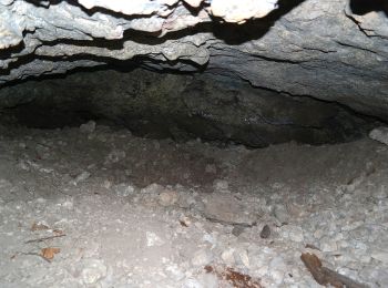
Randonnée A pied Illschwang - Illschwang Wanderweg 6 - Photo
A pied 7.86
Km
GUIDE+

A pied

Facile
Illschwang, Bavière, Landkreis Amberg-Sulzbach, Allemagne
7,9 km | 10,7 km-effort
2h 26min
215 m
212 m
Oui
SityTrail - itinéraires balisés pédestres

• Randonnée créée par Gemeinde Illschwang. abgeschlossen (May 2013 by cycling_zno) Symbole: weiße 6 auf gelben Grund
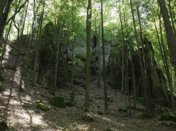
Randonnée A pied Illschwang - Illschwang Wanderweg 5 - Photo
A pied 14.591
Km
GUIDE+

A pied

Facile
Illschwang, Bavière, Landkreis Amberg-Sulzbach, Allemagne
14,6 km | 19,3 km-effort
4h 22min
349 m
357 m
Non
SityTrail - itinéraires balisés pédestres

• Randonnée créée par Gemeinde Illschwang. abgeschlossen (May 2013 by cycling_zno) Symbole: weiße 5 auf gelben Grund
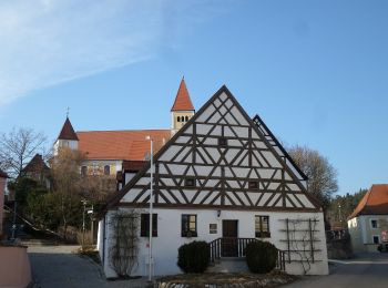
Randonnée A pied Illschwang - Illschwang Wanderweg 7 - Photo
A pied 22.473
Km
GUIDE+

A pied

Moyen
Illschwang, Bavière, Landkreis Amberg-Sulzbach, Allemagne
22 km | 30 km-effort
6h 51min
580 m
582 m
Oui
SityTrail - itinéraires balisés pédestres

• Randonnée créée par Gemeinde Illschwang. abgeschlossen (Feb 2012 by cycling_zno) Symbole: weiße 7 auf gelben Grund

Randonnée A pied Illschwang - Illschwang Wanderweg 4 - Photo
A pied 11.181
Km
GUIDE+

A pied

Facile
Illschwang, Bavière, Landkreis Amberg-Sulzbach, Allemagne
11,2 km | 15,1 km-effort
3h 25min
292 m
287 m
Oui
SityTrail - itinéraires balisés pédestres

• Randonnée créée par Gemeinde Illschwang. abgeschlossen (Feb 2012 by cycling_zno) Symbole: weiße 4 auf gelben Grund

Randonnée A pied Illschwang - Illschwang Wanderweg 3 - Photo
A pied 21.745
Km
GUIDE+

A pied

Moyen
Illschwang, Bavière, Landkreis Amberg-Sulzbach, Allemagne
22 km | 29 km-effort
6h 29min
509 m
510 m
Oui
SityTrail - itinéraires balisés pédestres

• Randonnée créée par Gemeinde Illschwang. abgeschlossen (Feb 2012 by cycling_zno) Symbole: weiße 3 auf gelben Grund

Randonnée A pied Illschwang - Illschwang Wanderweg 2 - Photo
A pied 14.645
Km
GUIDE+

A pied

Facile
Illschwang, Bavière, Landkreis Amberg-Sulzbach, Allemagne
14,6 km | 19,2 km-effort
4h 21min
341 m
336 m
Oui
SityTrail - itinéraires balisés pédestres

• Randonnée créée par Gemeinde Illschwang. abgeschlossen (Feb 2012 by cycling_zno) Symbole: weiße 2 auf gelben Grund

Randonnée A pied Illschwang - Illschwang Wanderweg 1 - Photo
A pied 6.037
Km
GUIDE+

A pied

Facile
Illschwang, Bavière, Landkreis Amberg-Sulzbach, Allemagne
6 km | 8,2 km-effort
1h 51min
161 m
165 m
Oui
SityTrail - itinéraires balisés pédestres

• Randonnée créée par Gemeinde Illschwang. abgeschlossen (Feb 2012 by cycling_zno) Symbole: weiße 1 auf gelben Grund

Randonnée A pied Illschwang - Illschwang Wanderweg 8 - Photo
A pied 3.376
Km
GUIDE+

A pied

Facile
Illschwang, Bavière, Landkreis Amberg-Sulzbach, Allemagne
3,4 km | 4,8 km-effort
1h 5min
108 m
110 m
Oui
SityTrail - itinéraires balisés pédestres

• Randonnée créée par Gemeinde Illschwang. abgeschlossen (Feb 2012 by cycling_zno) Symbole: weiße 8 auf gelben Grund

9 randonnées affichées sur 9

Application GPS de randonnée GRATUITE

Logo SityTrail SityTrail

IGN / Instituts géographiques

Télécharger SityTrail sur l'App Store Télécharger SityTrail sur Google Play

Logo SityTrail SityTrail World

Le monde est à vous

Télécharger SityTrail sur l'App Store Télécharger SityTrail sur Google Play Télécharger SityTrail sur Huawei AppGallery

Activités

Fermer
Mes abonnements