Langenweißbach, Zwickau, A pied : Les meilleures randonnées, itinéraires, parcours, balades et promenades

Langenweißbach : découvrez les meilleures randonnées : 3 a pied. Tous ces circuits, parcours, itinéraires et activités en plein air sont disponibles dans nos applications SityTrail pour smartphones et tablettes.


Les meilleurs parcours (3)

Randonnée A pied Langenweißbach - Ww. Burg Stein - Wiesenburg - Keilberg (gelb) - Photo
A pied 14.331
Km
PRO

A pied

Facile
Langenweißbach, Saxe, Zwickau, Allemagne
14,3 km | 18,1 km-effort
4h 7min
265 m
347 m
Non
SityTrail - itinéraires balisés pédestres

• Symbole: gelber Strich, weißer Grund
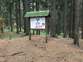
Randonnée A pied Langenweißbach - Ww. Kirchberg - Burkersdorf - Weißbach (gelb) - Photo
A pied 6.966
Km
PRO

A pied

Facile
Langenweißbach, Saxe, Zwickau, Allemagne
7 km | 8,3 km-effort
1h 53min
59 m
222 m
Non
SityTrail - itinéraires balisés pédestres

• Symbole: Horizontaler gelber Strich auf weißem Grund

Randonnée A pied Langenweißbach - Ww Grünau - Wiesenburg (Muldenweg) - Photo
A pied 4.205
Km
PRO

A pied

Facile
Langenweißbach, Saxe, Zwickau, Allemagne
4,2 km | 4,6 km-effort
1h 2min
20 m
45 m
Non
SityTrail - itinéraires balisés pédestres

• Symbole: grüner Strich, weißer Grund

3 randonnées affichées sur 3

Application GPS de randonnée GRATUITE

Logo SityTrail SityTrail

IGN / Instituts géographiques

Télécharger SityTrail sur l'App Store Télécharger SityTrail sur Google Play

Logo SityTrail SityTrail World

Le monde est à vous

Télécharger SityTrail sur l'App Store Télécharger SityTrail sur Google Play Télécharger SityTrail sur Huawei AppGallery

Activités

Régions proches

Fermer
Mes abonnements