


3 km | 6,7 km-effort
Inconnu : découvrez les meilleures randonnées : 17 a pied et 14 marche. Tous ces circuits, parcours, itinéraires et activités en plein air sont disponibles dans nos applications SityTrail pour smartphones et tablettes.
A pied


• Symbole: weiss-rot-weiss
A pied
• Symbole: weiss-rot-weiss
A pied
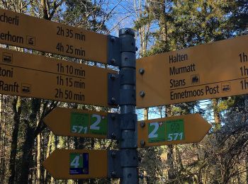
• Ennetmoos - Kerns
A pied
• Banalp / Chrüzhütte - Bannalper Schonegg
A pied
• Ränggpass - Lopperberg Symbole: weiss-rot-weiss
A pied
• Diegischbalm - Nechimatt
A pied
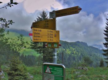
• Jochpass - Trübsee
A pied
• Randonnée créée par Tourismus Wolfenschiessen.
A pied
• Symbole: weisse 571 mit zwei Kreisen ineinander die mit 6 Spitzen verbunden sind
A pied
A pied
• Wandeli - Fulberg Symbole: weiss-rot-weiss
A pied
• Randonnée créée par Schwyzer Wanderwege. Tritthütte - Cholstrasse Symbole: weiss-rot-weiss
A pied
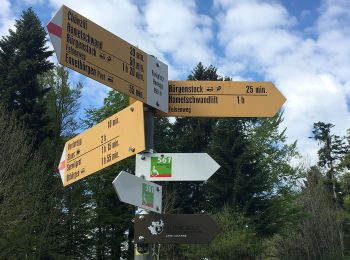
• Bürgenberg - Ätschenried Symbole: gelber Diamant (waagrecht)

A pied
• Symbole: weiss-rot-weiss
A pied
• Symbole: weiss-rot-weiss
A pied
• Ächerli - Wirzweli Symbole: weiss-rot-weiss
A pied
• Bürgenberg - Obbürgen Symbole: gelber Diamant (waagrecht)
Marche

Marche
•
Marche
•
20 randonnées affichées sur 31
Application GPS de randonnée GRATUITE
 SityTrail
IGN / Instituts géographiques
SityTrail World
Le monde est à vous