![](/images/other/stat-length.png)
- Randonnées
- A pied
- Suisse
- Lucerne
- Inconnu
- Ruswil
Ruswil, Inconnu, A pied : Les meilleures randonnées, itinéraires, parcours, balades et promenades
Ruswil : découvrez les meilleures randonnées : 7 a pied et 1 marche. Tous ces circuits, parcours, itinéraires et activités en plein air sont disponibles dans nos applications SityTrail pour smartphones et tablettes.
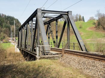
Les meilleurs parcours (8)
![Randonnée A pied Ruswil - Werthenstein - Ruswil - Photo](https://media.geolcdn.com/t/350/260/ac70f35b-e293-4c28-9c76-98de19a7c52b.jpeg&format=jpg&maxdim=2)
![A pied A pied](https://static1.geolcdn.com/sitytour/trail-icons/100.png)
Km
A pied
![](/images/other/stat-length.png)
![](https://static1.geolcdn.com/siteimages/upload/files/1508320355ic_sort_den_pos_24dp.png)
![](https://static1.geolcdn.com/siteimages/upload/files/1508320355ic_sort_den_neg_24dp.png)
![](https://static1.geolcdn.com/siteimages/upload/files/16400158638029165_repeat_loop_refresh_sync_direction_icon.png)
• Randonnée créée par Luzerner Wanderwege. Werthenstein - Ruswil Symbole: gelber Rhombus
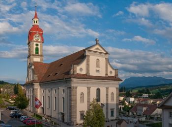
![Randonnée A pied Ruswil - CH-Werthenstein - Sigigen - Photo](https://media.geolcdn.com/t/350/260/cf8d01f2-9991-46ba-b997-7755cb104e40.jpeg&format=jpg&maxdim=2)
![A pied A pied](https://static1.geolcdn.com/sitytour/trail-icons/100.png)
Km
A pied
![](/images/other/stat-length.png)
![](https://static1.geolcdn.com/siteimages/upload/files/1508320355ic_sort_den_pos_24dp.png)
![](https://static1.geolcdn.com/siteimages/upload/files/1508320355ic_sort_den_neg_24dp.png)
![](https://static1.geolcdn.com/siteimages/upload/files/16400158638029165_repeat_loop_refresh_sync_direction_icon.png)
• Randonnée créée par Luzerner Wanderwege. Werthenstein - Sigigen Symbole: gelber Rhombus
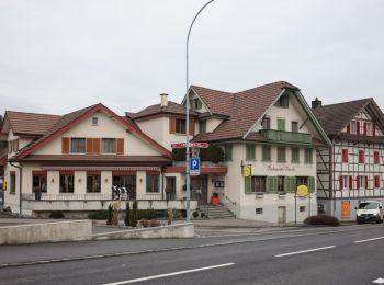
![Randonnée A pied Ruswil - Wolhusen - Buholz - Photo](https://media.geolcdn.com/t/350/260/a6b11bd9-b060-41e8-85be-7f87364c7aca.jpeg&format=jpg&maxdim=2)
![A pied A pied](https://static1.geolcdn.com/sitytour/trail-icons/100.png)
Km
A pied
![](/images/other/stat-length.png)
![](https://static1.geolcdn.com/siteimages/upload/files/1508320355ic_sort_den_pos_24dp.png)
![](https://static1.geolcdn.com/siteimages/upload/files/1508320355ic_sort_den_neg_24dp.png)
![](https://static1.geolcdn.com/siteimages/upload/files/16400158638029165_repeat_loop_refresh_sync_direction_icon.png)
• Randonnée créée par Luzerner Wanderwege. Ruswil - Buholz Symbole: gelber Diamant
![Randonnée A pied Ruswil - Ober Säliwald - Ruswil - Photo](https://media.geolcdn.com/t/350/260/a6b11bd9-b060-41e8-85be-7f87364c7aca.jpeg&format=jpg&maxdim=2)
![A pied A pied](https://static1.geolcdn.com/sitytour/trail-icons/100.png)
Km
A pied
![](/images/other/stat-length.png)
![](https://static1.geolcdn.com/siteimages/upload/files/1508320355ic_sort_den_pos_24dp.png)
![](https://static1.geolcdn.com/siteimages/upload/files/1508320355ic_sort_den_neg_24dp.png)
![](https://static1.geolcdn.com/siteimages/upload/files/16400158638029165_repeat_loop_refresh_sync_direction_icon.png)
• Ober Säliwald - Ruswil Symbole: gelber Rhombus
![Randonnée A pied Ruswil - CH-Werthenstein - Tschäpperslehn - Photo](https://media.geolcdn.com/t/350/260/cf8d01f2-9991-46ba-b997-7755cb104e40.jpeg&format=jpg&maxdim=2)
![A pied A pied](https://static1.geolcdn.com/sitytour/trail-icons/100.png)
Km
A pied
![](/images/other/stat-length.png)
![](https://static1.geolcdn.com/siteimages/upload/files/1508320355ic_sort_den_pos_24dp.png)
![](https://static1.geolcdn.com/siteimages/upload/files/1508320355ic_sort_den_neg_24dp.png)
![](https://static1.geolcdn.com/siteimages/upload/files/16400158638029165_repeat_loop_refresh_sync_direction_icon.png)
• Randonnée créée par Luzerner Wanderwege. Werthenstein - Tschäpperslehn Symbole: gelber Rhombus
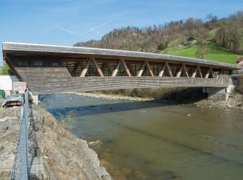
![Randonnée A pied Ruswil - Hellbühl - Obersäliwald - Photo](https://media.geolcdn.com/t/350/260/c18bf806-11ef-402c-9e09-2e01b0252c50.jpeg&format=jpg&maxdim=2)
![A pied A pied](https://static1.geolcdn.com/sitytour/trail-icons/100.png)
Km
A pied
![](/images/other/stat-length.png)
![](https://static1.geolcdn.com/siteimages/upload/files/1508320355ic_sort_den_pos_24dp.png)
![](https://static1.geolcdn.com/siteimages/upload/files/1508320355ic_sort_den_neg_24dp.png)
![](https://static1.geolcdn.com/siteimages/upload/files/16400158638029165_repeat_loop_refresh_sync_direction_icon.png)
• Randonnée créée par Luzerner Wanderwege. Hellbühl - Obersäliwald Symbole: gelber Diamant
![Randonnée A pied Ruswil - Werthenstein - Schachen - Photo](https://media.geolcdn.com/t/350/260/0a636d36-8ad8-46ef-9809-998a2b54d854.jpeg&format=jpg&maxdim=2)
![A pied A pied](https://static1.geolcdn.com/sitytour/trail-icons/100.png)
Km
A pied
![](/images/other/stat-length.png)
![](https://static1.geolcdn.com/siteimages/upload/files/1508320355ic_sort_den_pos_24dp.png)
![](https://static1.geolcdn.com/siteimages/upload/files/1508320355ic_sort_den_neg_24dp.png)
![](https://static1.geolcdn.com/siteimages/upload/files/16400158638029165_repeat_loop_refresh_sync_direction_icon.png)
• Randonnée créée par Luzerner Wanderwege. Symbole: gelber Rhombus
![Randonnée Marche Ruswil - Auf Pilgerspuren im Luzerner Hinterland - Photo](https://media.geolcdn.com/t/350/260/ext.jpg?maxdim=2&url=https%3A%2F%2Fstatic1.geolcdn.com%2Fsiteimages%2Fupload%2Ffiles%2F1553511878bg_sport_marche.png)
![Marche Marche](https://static1.geolcdn.com/sitytour/trail-icons/101.png)
Km
Marche
![](/images/other/stat-length.png)
![](https://static1.geolcdn.com/siteimages/upload/files/1508320355ic_sort_den_pos_24dp.png)
![](https://static1.geolcdn.com/siteimages/upload/files/1508320355ic_sort_den_neg_24dp.png)
![](https://static1.geolcdn.com/siteimages/upload/files/16400158638029165_repeat_loop_refresh_sync_direction_icon.png)
•
8 randonnées affichées sur 8
Application GPS de randonnée GRATUITE